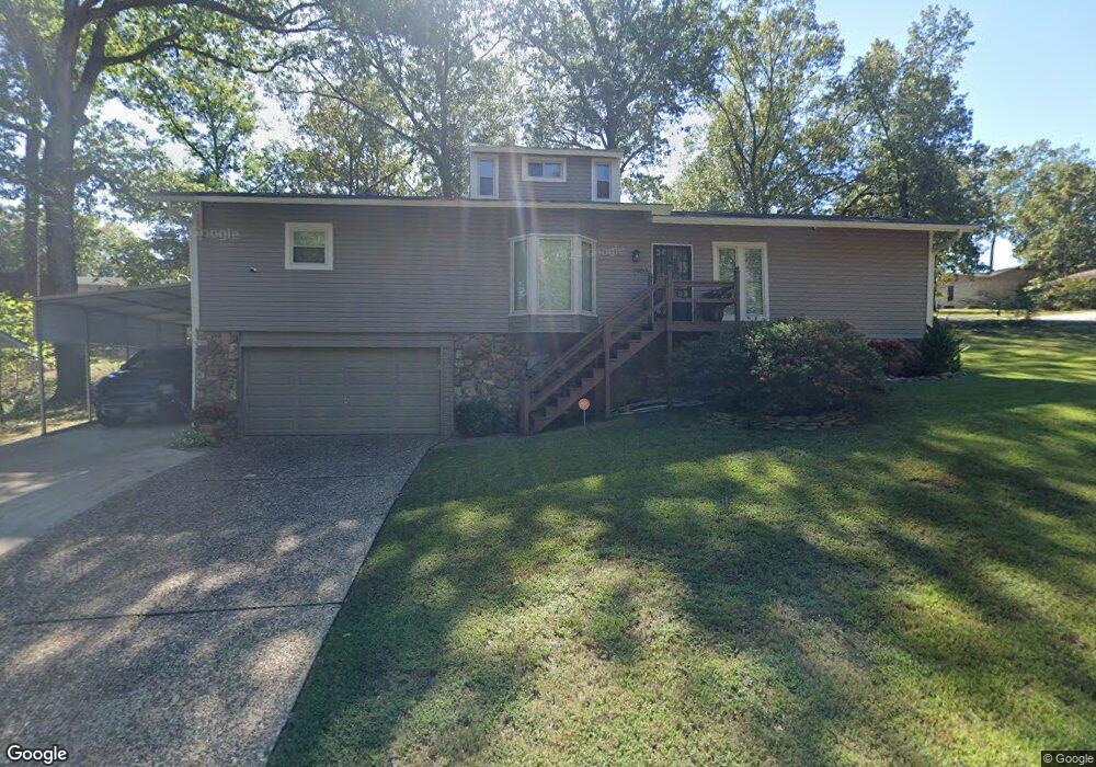
7903 Standish Rd Little Rock, AR 72204
Westwood NeighborhoodEstimated Value: $155,279 - $181,000
--
Bed
2
Baths
1,692
Sq Ft
$101/Sq Ft
Est. Value
About This Home
This home is located at 7903 Standish Rd, Little Rock, AR 72204 and is currently estimated at $170,570, approximately $100 per square foot. 7903 Standish Rd is a home located in Pulaski County with nearby schools including Western Hills Elementary School, Cloverdale Middle School, and Little Rock Southwest High School.
Ownership History
Date
Name
Owned For
Owner Type
Purchase Details
Closed on
Feb 27, 1998
Sold by
Melville Jeffrey Dean
Bought by
Ellison Troy D
Current Estimated Value
Home Financials for this Owner
Home Financials are based on the most recent Mortgage that was taken out on this home.
Original Mortgage
$69,093
Outstanding Balance
$12,242
Interest Rate
7.01%
Mortgage Type
FHA
Estimated Equity
$158,328
Create a Home Valuation Report for This Property
The Home Valuation Report is an in-depth analysis detailing your home's value as well as a comparison with similar homes in the area
Home Values in the Area
Average Home Value in this Area
Purchase History
| Date | Buyer | Sale Price | Title Company |
|---|---|---|---|
| Ellison Troy D | $70,000 | -- |
Source: Public Records
Mortgage History
| Date | Status | Borrower | Loan Amount |
|---|---|---|---|
| Open | Ellison Troy D | $69,093 |
Source: Public Records
Tax History Compared to Growth
Tax History
| Year | Tax Paid | Tax Assessment Tax Assessment Total Assessment is a certain percentage of the fair market value that is determined by local assessors to be the total taxable value of land and additions on the property. | Land | Improvement |
|---|---|---|---|---|
| 2025 | $1,684 | $28,362 | $4,200 | $24,162 |
| 2024 | $1,544 | $28,362 | $4,200 | $24,162 |
| 2023 | $1,544 | $28,362 | $4,200 | $24,162 |
| 2022 | $1,474 | $28,362 | $4,200 | $24,162 |
| 2021 | $1,414 | $20,050 | $2,200 | $17,850 |
| 2020 | $1,029 | $20,050 | $2,200 | $17,850 |
| 2019 | $1,029 | $20,050 | $2,200 | $17,850 |
| 2018 | $1,054 | $20,050 | $2,200 | $17,850 |
| 2017 | $1,054 | $20,050 | $2,200 | $17,850 |
| 2016 | $1,378 | $24,920 | $4,000 | $20,920 |
| 2015 | $1,661 | $23,698 | $4,000 | $19,698 |
| 2014 | $1,661 | $21,718 | $4,000 | $17,718 |
Source: Public Records
Map
Nearby Homes
- TBD Cardinal Rd
- 8012 Westwood Ave
- 5116 Nancy Ct
- Lot 53 Block 5 Westwood Ave
- 8307 Ascension Rd
- 8110 Ascension Rd
- 40 W Windsor Dr
- 4705 Elmwood Dr
- 8416 Westwood Ln
- 5813 Forest View Rd
- 29 Rosewood Dr
- 27 Westmont Cir
- 1 W Windsor Dr
- 5718 Forest View Rd
- 4814 Manor Ave
- 15 Ardmore Dr
- 5 Westwood Ln
- 5913 Timberview Rd
- 48 Westmont Cir
- 4800 Westwood Ave
- 5415 Thrush Dr
- 7819 Standish Rd
- 7902 Standish Rd
- 5414 Robin Rd
- 0 Thrush Dr Unit 15035477
- 0 Thrush Dr Unit 16034922
- 5419 Thrush Dr
- 7908 Standish Rd
- 7824 Standish Rd
- 7919 Standish Rd
- 5414 Thrush Dr
- 5420 Robin Rd
- 7914 Standish Rd
- 7818 Standish Rd
- 5420 Thrush Dr
- 5427 Thrush Dr
- 7812 Standish Rd
- 7907 Lassie Ln
- 7913 Lassie Ln
- 8024 Standish Rd