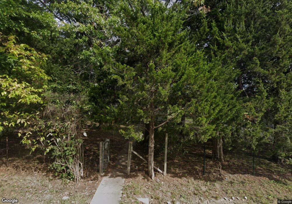
7915 Westridge Rd Raytown, MO 64138
Little Blue Valley NeighborhoodEstimated Value: $194,962 - $251,000
2
Beds
1
Bath
1,378
Sq Ft
$165/Sq Ft
Est. Value
About This Home
This home is located at 7915 Westridge Rd, Raytown, MO 64138 and is currently estimated at $227,241, approximately $164 per square foot. 7915 Westridge Rd is a home located in Jackson County with nearby schools including Robinson Elementary School, Raytown Central Middle School, and Carver Christian Academy.
Ownership History
Date
Name
Owned For
Owner Type
Purchase Details
Closed on
Sep 4, 2024
Sold by
Davis Christina T and Davis Christina A
Bought by
Christina A Davis Trust
Current Estimated Value
Purchase Details
Closed on
Apr 23, 2020
Sold by
Deruse Justin Gary
Bought by
Davis Christina
Purchase Details
Closed on
Feb 13, 2017
Sold by
Deruse John A
Bought by
Deruse John A and Deruse Carol S
Create a Home Valuation Report for This Property
The Home Valuation Report is an in-depth analysis detailing your home's value as well as a comparison with similar homes in the area
Home Values in the Area
Average Home Value in this Area
Purchase History
| Date | Buyer | Sale Price | Title Company |
|---|---|---|---|
| Christina A Davis Trust | -- | None Listed On Document | |
| Davis Christina | -- | Stewart Title Company | |
| Deruse John A | -- | None Available | |
| Deruse John A | -- | None Available |
Source: Public Records
Tax History Compared to Growth
Tax History
| Year | Tax Paid | Tax Assessment Tax Assessment Total Assessment is a certain percentage of the fair market value that is determined by local assessors to be the total taxable value of land and additions on the property. | Land | Improvement |
|---|---|---|---|---|
| 2025 | $1,885 | $19,348 | $5,375 | $13,973 |
| 2024 | $1,885 | $20,900 | $6,449 | $14,451 |
| 2023 | $1,873 | $20,900 | $6,449 | $14,451 |
| 2022 | $1,376 | $14,630 | $4,902 | $9,728 |
| 2021 | $1,381 | $14,630 | $4,902 | $9,728 |
| 2020 | $1,384 | $14,525 | $4,902 | $9,623 |
| 2019 | $1,377 | $14,525 | $4,902 | $9,623 |
| 2018 | $985 | $10,760 | $1,469 | $9,291 |
| 2017 | $985 | $10,760 | $1,469 | $9,291 |
| 2016 | $955 | $10,489 | $3,131 | $7,358 |
| 2014 | $937 | $10,184 | $3,040 | $7,144 |
Source: Public Records
Map
Nearby Homes
- 8001 Westridge Rd Unit 203
- 12000 E 78th Terrace
- 7809 Woodson Rd
- 11309 E 78th Terrace
- 7539 Westridge Rd
- 11308 E 78th St
- 7950/7951/7902 Frost Rd
- 11307 E 77th Terrace
- 7600 Woodson Rd
- 7720 Crisp Ave
- 11211 E 77th St
- 11601 E 75th St
- 10912 E State Route 350
- 11808 E 74th Terrace
- 8324 Pershing Rd
- 10908 E 81st St
- 11909 E 85th St
- 11911 E 85th St
- 7411 Englewood Ln
- 8531 Vassar Ave
- 7917 Westridge Rd
- 7905 Westridge Rd
- 7923 Westridge Rd
- 7833 Westridge Rd
- 8001 Westridge Rd
- 8001 Westridge Rd
- 8001 Westridge Rd
- 8001 Westridge Rd
- 8001 Westridge Rd
- 8001 Westridge Rd
- 8001 Westridge Rd Unit 208
- 8001 Westridge Rd Unit 111
- 8001 Westridge Rd Unit 311
- 8001 Westridge Rd Unit 308
- 8001 Westridge Rd Unit 202
- 8001 Westridge Rd Unit 102
- 8001 Westridge Rd Unit 304
- 8001 Westridge Rd Unit 311
- 8001 Westridge Rd Unit 208
- 8001 Westridge Rd Unit 110