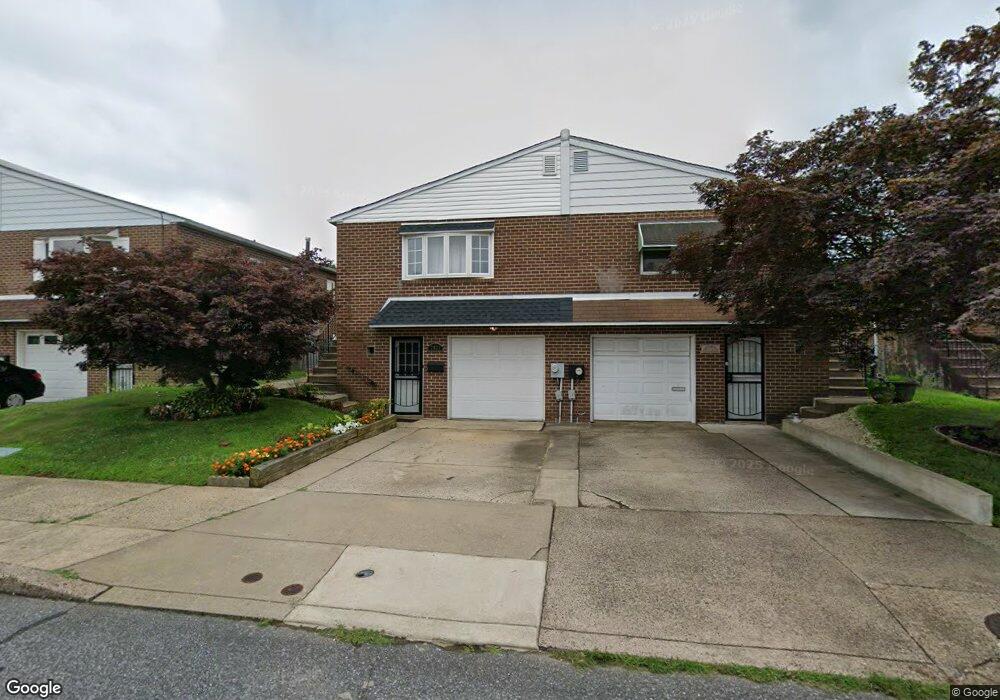
7921 Calvert St Philadelphia, PA 19152
Rhawnhurst NeighborhoodEstimated Value: $326,868 - $343,000
--
Bed
--
Bath
1,053
Sq Ft
$319/Sq Ft
Est. Value
About This Home
This home is located at 7921 Calvert St, Philadelphia, PA 19152 and is currently estimated at $335,467, approximately $318 per square foot. 7921 Calvert St is a home located in Philadelphia County with nearby schools including Lincoln High School, Meehan Austin Middle School, and St Jerome School.
Ownership History
Date
Name
Owned For
Owner Type
Purchase Details
Closed on
Nov 22, 2021
Sold by
Wilson Gina D
Bought by
Wilson Gina D
Current Estimated Value
Purchase Details
Closed on
Dec 28, 2006
Sold by
Pszalgowski Ronald J and Estate Of Irene I Pszalgowski
Bought by
Barnett Annette
Home Financials for this Owner
Home Financials are based on the most recent Mortgage that was taken out on this home.
Original Mortgage
$173,200
Interest Rate
6.24%
Mortgage Type
Purchase Money Mortgage
Create a Home Valuation Report for This Property
The Home Valuation Report is an in-depth analysis detailing your home's value as well as a comparison with similar homes in the area
Home Values in the Area
Average Home Value in this Area
Purchase History
| Date | Buyer | Sale Price | Title Company |
|---|---|---|---|
| Wilson Gina D | -- | None Listed On Document | |
| Barnett Annette | $216,500 | None Available |
Source: Public Records
Mortgage History
| Date | Status | Borrower | Loan Amount |
|---|---|---|---|
| Previous Owner | Barnett Annette | $173,200 |
Source: Public Records
Tax History Compared to Growth
Tax History
| Year | Tax Paid | Tax Assessment Tax Assessment Total Assessment is a certain percentage of the fair market value that is determined by local assessors to be the total taxable value of land and additions on the property. | Land | Improvement |
|---|---|---|---|---|
| 2025 | $3,304 | $302,000 | $60,400 | $241,600 |
| 2024 | $3,304 | $302,000 | $60,400 | $241,600 |
| 2023 | $3,304 | $236,000 | $47,200 | $188,800 |
| 2022 | $2,384 | $191,000 | $47,200 | $143,800 |
| 2021 | $3,014 | $0 | $0 | $0 |
| 2020 | $3,014 | $0 | $0 | $0 |
| 2019 | $2,744 | $0 | $0 | $0 |
| 2018 | $2,402 | $0 | $0 | $0 |
| 2017 | $2,402 | $0 | $0 | $0 |
| 2016 | $1,982 | $0 | $0 | $0 |
| 2015 | $1,897 | $0 | $0 | $0 |
| 2014 | -- | $171,600 | $37,509 | $134,091 |
| 2012 | -- | $23,776 | $3,232 | $20,544 |
Source: Public Records
Map
Nearby Homes
- 7914 Farnsworth St
- 2727 Rhawn St
- 2727 Rhawn St Unit 7AB
- 2755 Rhawn St
- 2803 Rhawn St
- 8130 Farnsworth St
- 8142 Lister St
- 2345 Ripley St
- 7722 Fairfield St
- 7703 Brous Ave
- 2301 Ripley St
- 2302 Rhawn St
- 2250 Stanwood St
- 2321 Emerson St
- 2232 Stanwood St
- 2223 Emerson St
- 7525 Calvert St
- 7521 Calvert St
- 2123 Loney St
- 7815 Horrocks St
- 7919 Calvert St
- 7923 Calvert St
- 7917 Calvert St
- 7925 Calvert St
- 7915 Calvert St
- 7927 Calvert St
- 7913 Calvert St
- 7929 Calvert St
- 7920 Farnsworth St
- 7918 Farnsworth St
- 7916 Farnsworth St
- 7924 Farnsworth St
- 7911 Calvert St
- 7926 Farnsworth St
- 7912 Farnsworth St
- 7909 Calvert St
- 7928 Farnsworth St
- 7920 Calvert St
- 7922 Calvert St
- 7918 Calvert St