7921 Mortland Dr Clinton, WA 98236
Estimated Value: $453,000 - $572,000
2
Beds
2
Baths
1,712
Sq Ft
$295/Sq Ft
Est. Value
About This Home
This home is located at 7921 Mortland Dr, Clinton, WA 98236 and is currently estimated at $505,250, approximately $295 per square foot. 7921 Mortland Dr is a home located in Island County with nearby schools including South Whidbey Elementary School, South Whidbey Middle School, and South Whidbey High School.
Ownership History
Date
Name
Owned For
Owner Type
Purchase Details
Closed on
Sep 16, 2005
Sold by
Baldwin Susan M
Bought by
Taksony Ryan and Taksony Kimberly
Current Estimated Value
Home Financials for this Owner
Home Financials are based on the most recent Mortgage that was taken out on this home.
Original Mortgage
$40,400
Outstanding Balance
$21,359
Interest Rate
5.76%
Mortgage Type
Stand Alone Second
Estimated Equity
$483,891
Create a Home Valuation Report for This Property
The Home Valuation Report is an in-depth analysis detailing your home's value as well as a comparison with similar homes in the area
Home Values in the Area
Average Home Value in this Area
Purchase History
| Date | Buyer | Sale Price | Title Company |
|---|---|---|---|
| Taksony Ryan | $202,000 | -- |
Source: Public Records
Mortgage History
| Date | Status | Borrower | Loan Amount |
|---|---|---|---|
| Open | Taksony Ryan | $40,400 | |
| Open | Taksony Ryan | $161,600 |
Source: Public Records
Tax History Compared to Growth
Tax History
| Year | Tax Paid | Tax Assessment Tax Assessment Total Assessment is a certain percentage of the fair market value that is determined by local assessors to be the total taxable value of land and additions on the property. | Land | Improvement |
|---|---|---|---|---|
| 2025 | $3,069 | $427,448 | $210,000 | $217,448 |
| 2024 | $2,847 | $425,338 | $205,000 | $220,338 |
| 2023 | $2,847 | $433,228 | $210,000 | $223,228 |
| 2022 | $2,559 | $404,759 | $200,000 | $204,759 |
| 2021 | $2,279 | $320,327 | $140,000 | $180,327 |
| 2020 | $1,982 | $289,966 | $120,000 | $169,966 |
| 2019 | $1,882 | $258,255 | $135,000 | $123,255 |
| 2018 | $1,709 | $243,644 | $120,000 | $123,644 |
| 2017 | $1,498 | $204,421 | $80,000 | $124,421 |
| 2016 | $1,442 | $195,977 | $70,000 | $125,977 |
| 2015 | $1,414 | $182,532 | $55,000 | $127,532 |
| 2013 | -- | $175,034 | $55,000 | $120,034 |
Source: Public Records
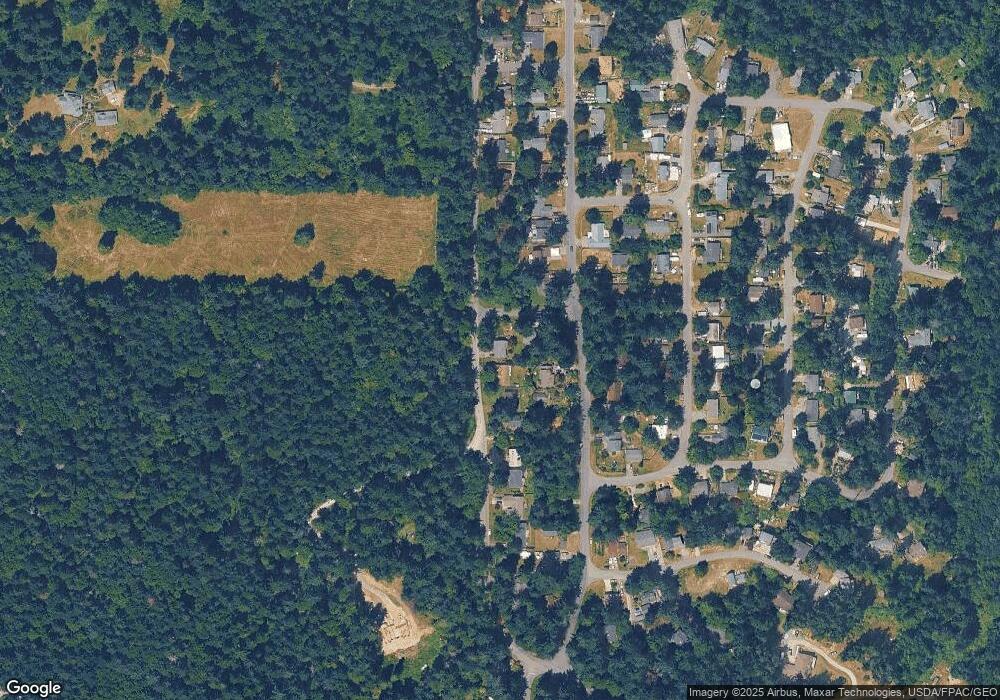
Map
Nearby Homes
- 7921 Blakely Ave
- 7884 Guemes Ave
- 3681 Kingston Ct
- 0 xxx Patos Ln
- 7909 Guemes Ave
- 3673 Kingston Ct
- 7826 Somerset Ct
- 7867 Decatur Ave
- 3641 Britzman Loop
- 8038 Island Ct
- 8042 Island Ct
- 7589 Bailey Rd
- 7683 Maxwelton Rd
- 8121 Sandy Hook Terrace
- 8171 Sandy Hook Dr
- 8122 Autumn Ln
- 0 XXX Sandy Hook Dr
- 4135 Lovely Rd
- 4195 Windy Cove Ln
- 8175 Mossy Rock Rd
- 3614 Orange St
- 7925 Mortland Dr
- 7930 Mortland Dr
- 7914 Blakely Ave
- 7898 Blakely Ave
- 7916 Blakely Ave
- 7934 Mortland Dr
- 7892 Blakely Ave
- 0 Headlands Way Unit 238538
- 0 Headlands Way Unit 238535
- 7924 Blakely Ave
- 7897 Mortland Dr
- 7937 Mortland Dr
- 7905 Blakely Ave
- 7915 Blakely Ave
- 7886 Blakely Ave
- 7897 Blakely Ave
- 7927 Blakely Ave
- 7895 Mortland Dr
- 7941 Mortland Dr