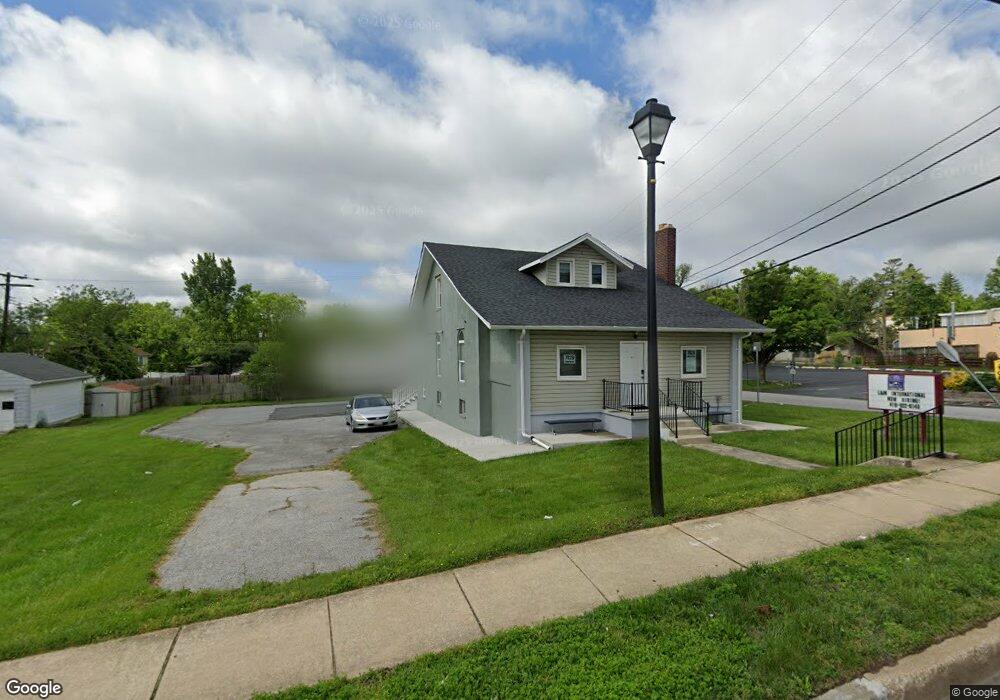
7929 Liberty Rd Baltimore, MD 21244
Estimated Value: $413,861
--
Bed
--
Bath
1,710
Sq Ft
$242/Sq Ft
Est. Value
About This Home
This home is located at 7929 Liberty Rd, Baltimore, MD 21244 and is currently estimated at $413,861, approximately $242 per square foot. 7929 Liberty Rd is a home located in Baltimore County with nearby schools including Hebbville Elementary School, Woodlawn Middle School, and Milford Mill Academy.
Ownership History
Date
Name
Owned For
Owner Type
Purchase Details
Closed on
Aug 30, 2018
Sold by
Bryson Maurice D
Bought by
Windsor Liberty Llc
Current Estimated Value
Purchase Details
Closed on
Dec 22, 2005
Sold by
Ruppel Alvin G
Bought by
Bryson Maurice D
Home Financials for this Owner
Home Financials are based on the most recent Mortgage that was taken out on this home.
Original Mortgage
$234,150
Interest Rate
6.39%
Mortgage Type
FHA
Purchase Details
Closed on
Dec 31, 1986
Sold by
Williams Randolph L
Bought by
Ruppel Alvin G
Create a Home Valuation Report for This Property
The Home Valuation Report is an in-depth analysis detailing your home's value as well as a comparison with similar homes in the area
Home Values in the Area
Average Home Value in this Area
Purchase History
| Date | Buyer | Sale Price | Title Company |
|---|---|---|---|
| Windsor Liberty Llc | $280,000 | None Available | |
| Bryson Maurice D | $240,000 | -- | |
| Bryson Maurice D | $240,000 | -- | |
| Ruppel Alvin G | $97,500 | -- |
Source: Public Records
Mortgage History
| Date | Status | Borrower | Loan Amount |
|---|---|---|---|
| Previous Owner | Bryson Maurice D | $234,150 |
Source: Public Records
Tax History Compared to Growth
Tax History
| Year | Tax Paid | Tax Assessment Tax Assessment Total Assessment is a certain percentage of the fair market value that is determined by local assessors to be the total taxable value of land and additions on the property. | Land | Improvement |
|---|---|---|---|---|
| 2025 | $3,751 | $249,433 | -- | -- |
| 2024 | $3,751 | $246,500 | $157,600 | $88,900 |
| 2023 | $1,761 | $246,500 | $157,600 | $88,900 |
| 2022 | $3,495 | $246,500 | $157,600 | $88,900 |
| 2021 | $3,606 | $256,400 | $157,600 | $98,800 |
| 2020 | $3,079 | $254,067 | $0 | $0 |
| 2019 | $3,051 | $251,733 | $0 | $0 |
| 2018 | $3,798 | $249,400 | $157,600 | $91,800 |
| 2017 | $3,315 | $247,367 | $0 | $0 |
| 2016 | $3,117 | $245,333 | $0 | $0 |
| 2015 | $3,117 | $243,300 | $0 | $0 |
| 2014 | $3,117 | $243,300 | $0 | $0 |
Source: Public Records
Map
Nearby Homes
- 7817 Liberty Rd
- 3608 Kenmar Rd
- 3621 Washington Ave
- 3510 Rockdale Ct
- 3538 Milford Mill Rd
- 3715 Washington Ave
- 7804 Carmel Cir
- 3507 Ellen
- 3818 Twin Lakes Ct
- 3536 Derby Shire Cir
- 3811 Coronado Rd
- 3414 Milford Mill Rd
- 7906 Montwood Rd
- 3437 Liberty Gardens Rd
- 3408 Croydon Rd
- 3406 Croydon Rd
- 8205 Knights Way
- 7408 Shirley Rd
- 3115 Ripple Rd
- 3512 Saint James Rd
- 7925 Liberty Rd
- 3523 Abbie Place
- 8001 Liberty Rd
- 3521 Abbie Place
- 7923 Liberty Rd
- 3450 Christopher Ct
- 3448 Christopher Ct
- 3519 Abbie Place
- 3518 Abbie Place
- 3451 Christopher Ct
- 3516 Abbie Place
- 7919 Liberty Rd
- 3517 Abbie Place
- 8006 Liberty Rd
- 3446 Christopher Ct
- 3514 Abbie Place
- 8008 Liberty Rd
- 8007 Liberty Rd
- 7917 Liberty Rd
- 7917 Liberty Rd