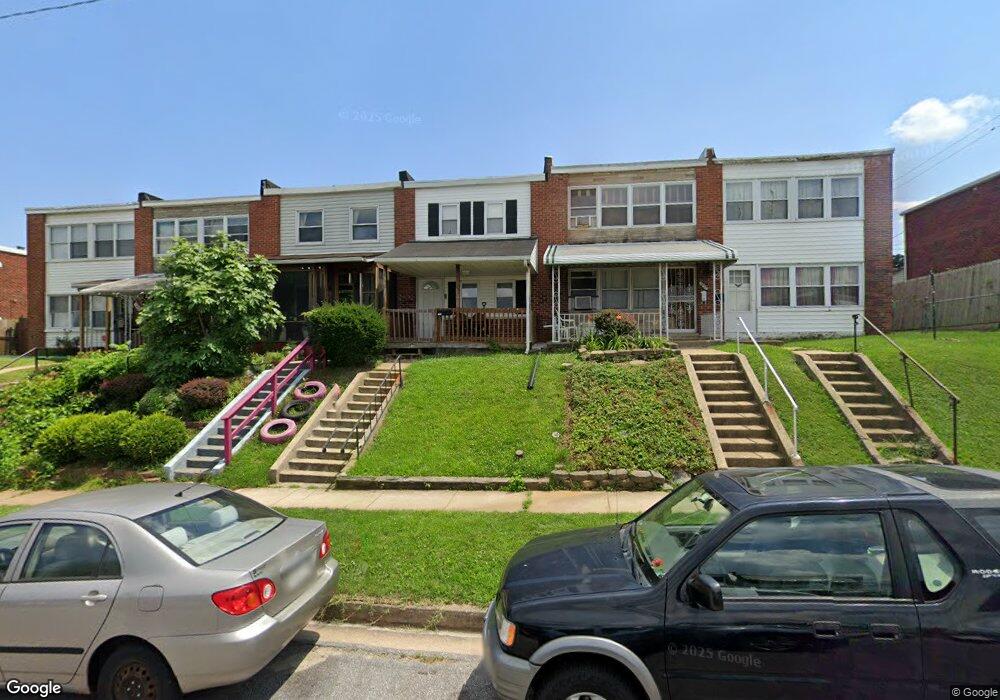
7941 Lansdale Rd Baltimore, MD 21224
Estimated Value: $139,000 - $177,000
2
Beds
1
Bath
1,024
Sq Ft
$156/Sq Ft
Est. Value
About This Home
This home is located at 7941 Lansdale Rd, Baltimore, MD 21224 and is currently estimated at $159,835, approximately $156 per square foot. 7941 Lansdale Rd is a home located in Baltimore County with nearby schools including Colgate Elementary, Holabird Middle School, and Dundalk High School.
Ownership History
Date
Name
Owned For
Owner Type
Purchase Details
Closed on
May 20, 2009
Sold by
Lorenz Robert
Bought by
Bouhafid Lahbib and Mardhi Hanan
Current Estimated Value
Purchase Details
Closed on
Jan 8, 2009
Sold by
Urban Vernon
Bought by
Lorenz Robert
Home Financials for this Owner
Home Financials are based on the most recent Mortgage that was taken out on this home.
Original Mortgage
$80,000
Interest Rate
6.08%
Mortgage Type
Purchase Money Mortgage
Purchase Details
Closed on
Aug 24, 1998
Sold by
Urban Vernon
Bought by
Urban Vernon
Create a Home Valuation Report for This Property
The Home Valuation Report is an in-depth analysis detailing your home's value as well as a comparison with similar homes in the area
Home Values in the Area
Average Home Value in this Area
Purchase History
| Date | Buyer | Sale Price | Title Company |
|---|---|---|---|
| Bouhafid Lahbib | $116,000 | -- | |
| Lorenz Robert | $50,000 | -- | |
| Urban Vernon | -- | -- |
Source: Public Records
Mortgage History
| Date | Status | Borrower | Loan Amount |
|---|---|---|---|
| Previous Owner | Lorenz Robert | $80,000 |
Source: Public Records
Tax History Compared to Growth
Tax History
| Year | Tax Paid | Tax Assessment Tax Assessment Total Assessment is a certain percentage of the fair market value that is determined by local assessors to be the total taxable value of land and additions on the property. | Land | Improvement |
|---|---|---|---|---|
| 2025 | $2,138 | $110,700 | -- | -- |
| 2024 | $2,138 | $104,200 | $0 | $0 |
| 2023 | $1,023 | $97,700 | $40,000 | $57,700 |
| 2022 | $1,849 | $94,233 | $0 | $0 |
| 2021 | $1,727 | $90,767 | $0 | $0 |
| 2020 | $1,727 | $87,300 | $40,000 | $47,300 |
| 2019 | $1,749 | $86,400 | $0 | $0 |
| 2018 | $1,642 | $85,500 | $0 | $0 |
| 2017 | $1,604 | $84,600 | $0 | $0 |
| 2016 | $1,812 | $83,667 | $0 | $0 |
| 2015 | $1,812 | $82,733 | $0 | $0 |
| 2014 | $1,812 | $81,800 | $0 | $0 |
Source: Public Records
Map
Nearby Homes
- 421 52nd St
- 7747 Eastdale Rd
- 800 Northpoint Rd
- 7520 Avondale Ave
- 7506 Belmont Ave
- 904 Elton Ave
- 7315 Stratton Way
- 7318 Bridgewood Dr
- 7339 Conley St
- 472 Mirabile Ln
- 7412 Belmont Ave
- 462 Mirabile Ln
- 7420 Poplar Ave
- 7273 Bridgewood Dr
- 410 Mirabile Ln
- 988 Dalton Ave
- 7412 Poplar Ave
- 1037 Elton Ave
- 7169 Eastbrook Ave
- 7308 Berkshire Rd
- 7939 Lansdale Rd
- 7937 Lansdale Rd
- 7943 Lansdale Rd
- 7945 Lansdale Rd
- 7935 Lansdale Rd
- 7947 Lansdale Rd
- 7933 Lansdale Rd
- 7931 Lansdale Rd
- 7949 Lansdale Rd
- 7929 Lansdale Rd
- 7951 Lansdale Rd
- 7927 Lansdale Rd
- 7938 Bank St
- 7936 Bank St
- 7940 Bank St
- 7942 Bank St
- 7953 Lansdale Rd
- 7932 Bank St
- 7944 Bank St
- 7925 Lansdale Rd