Estimated Value: $453,000 - $782,000
3
Beds
2
Baths
1,926
Sq Ft
$293/Sq Ft
Est. Value
About This Home
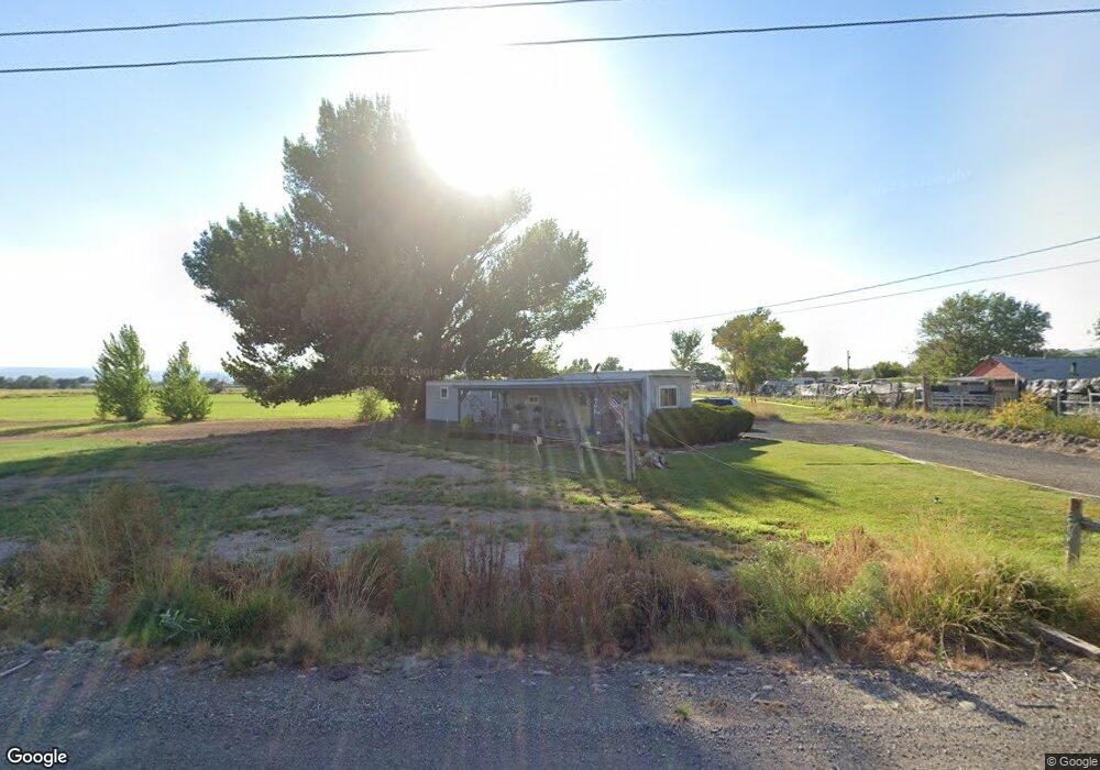
This home is located at 796 1550 Rd, Delta, CO 81416 and is currently estimated at $564,020, approximately $292 per square foot. 796 1550 Rd is a home located in Delta County with nearby schools including Garnet Mesa Elementary School, Lincoln Elementary School, and Delta Middle School.
Ownership History
Date
Name
Owned For
Owner Type
Purchase Details
Closed on
Aug 25, 2022
Sold by
Thebus Paul R
Bought by
Paul R Thebus Trust
Current Estimated Value
Purchase Details
Closed on
Sep 30, 2005
Sold by
Stone Mountain Holdings Of Colorado Llc
Bought by
Thebus Paul R
Home Financials for this Owner
Home Financials are based on the most recent Mortgage that was taken out on this home.
Original Mortgage
$100,000
Interest Rate
5.75%
Mortgage Type
Adjustable Rate Mortgage/ARM
Purchase Details
Closed on
Jul 18, 2005
Sold by
Brown William F and Brown Reta K
Bought by
Mountain Holdings Of Colorado Llc
Create a Home Valuation Report for This Property
The Home Valuation Report is an in-depth analysis detailing your home's value as well as a comparison with similar homes in the area
Home Values in the Area
Average Home Value in this Area
Purchase History
| Date | Buyer | Sale Price | Title Company |
|---|---|---|---|
| Paul R Thebus Trust | -- | -- | |
| Thebus Paul R | $335,000 | Fahtco | |
| Mountain Holdings Of Colorado Llc | $346,667 | Fahtco |
Source: Public Records
Mortgage History
| Date | Status | Borrower | Loan Amount |
|---|---|---|---|
| Previous Owner | Thebus Paul R | $100,000 |
Source: Public Records
Tax History Compared to Growth
Tax History
| Year | Tax Paid | Tax Assessment Tax Assessment Total Assessment is a certain percentage of the fair market value that is determined by local assessors to be the total taxable value of land and additions on the property. | Land | Improvement |
|---|---|---|---|---|
| 2024 | $944 | $20,958 | $1,404 | $19,554 |
| 2023 | $944 | $20,958 | $1,404 | $19,554 |
| 2022 | $706 | $17,881 | $1,277 | $16,604 |
| 2021 | $727 | $18,625 | $1,402 | $17,223 |
| 2020 | $544 | $13,883 | $1,190 | $12,693 |
| 2019 | $538 | $13,883 | $1,190 | $12,693 |
| 2018 | $527 | $12,722 | $1,526 | $11,196 |
| 2017 | $512 | $12,722 | $1,526 | $11,196 |
| 2016 | $764 | $13,050 | $1,250 | $11,800 |
| 2014 | -- | $11,199 | $835 | $10,364 |
Source: Public Records
Map
Nearby Homes
- 10.5 ac. LOT 1B 1525 Rd
- 15101 Silver Belle St
- 15143 Silver Belle St
- 15179 Silver Belle St
- 1511 Yankee Girl St
- 760 1575 Rd
- 1491 Highway 50 Unit 64
- TBD 1500 Ct
- 1475 and Tbd Highway 50
- 1637 I Rd
- 1639 I Rd
- 1570 G86 Ln
- 676 Highway 50 Unit Space 43
- 167 Gunnison River Dr
- TBD Devils Thumb Rd
- 1397 Highway 50
- 65 Circle Dr
- 1520 Highway 92
- 184 Garnet Ave
- 833 and 835 Garnet Ave