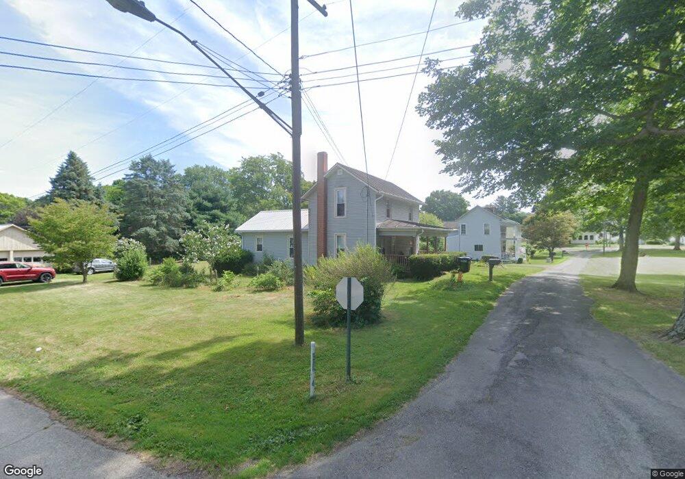
796 State Route 302 Ashland, OH 44805
Estimated Value: $171,000 - $176,000
3
Beds
1
Bath
1,216
Sq Ft
$143/Sq Ft
Est. Value
About This Home
This home is located at 796 State Route 302, Ashland, OH 44805 and is currently estimated at $173,498, approximately $142 per square foot. 796 State Route 302 is a home with nearby schools including Mapleton Elementary School, Mapleton Middle School, and Mapleton High School.
Ownership History
Date
Name
Owned For
Owner Type
Purchase Details
Closed on
Sep 27, 2024
Sold by
Souslin Benjamin R and Souslin Benjamin R
Bought by
Souslin Benjamin R and Souslin Traci
Current Estimated Value
Home Financials for this Owner
Home Financials are based on the most recent Mortgage that was taken out on this home.
Original Mortgage
$50,000
Outstanding Balance
$49,459
Interest Rate
6.2%
Mortgage Type
New Conventional
Estimated Equity
$124,039
Purchase Details
Closed on
Aug 1, 1996
Sold by
Mcbride Michael D
Bought by
Souslin Benjamin R
Purchase Details
Closed on
Sep 8, 1992
Bought by
Mcbride Michael D
Create a Home Valuation Report for This Property
The Home Valuation Report is an in-depth analysis detailing your home's value as well as a comparison with similar homes in the area
Home Values in the Area
Average Home Value in this Area
Purchase History
| Date | Buyer | Sale Price | Title Company |
|---|---|---|---|
| Souslin Benjamin R | -- | Doma Title Agency | |
| Souslin Benjamin R | $59,900 | -- | |
| Mcbride Michael D | $42,000 | -- |
Source: Public Records
Mortgage History
| Date | Status | Borrower | Loan Amount |
|---|---|---|---|
| Open | Souslin Benjamin R | $50,000 |
Source: Public Records
Tax History Compared to Growth
Tax History
| Year | Tax Paid | Tax Assessment Tax Assessment Total Assessment is a certain percentage of the fair market value that is determined by local assessors to be the total taxable value of land and additions on the property. | Land | Improvement |
|---|---|---|---|---|
| 2024 | $1,287 | $38,970 | $8,450 | $30,520 |
| 2023 | $1,287 | $38,970 | $8,450 | $30,520 |
| 2022 | $1,158 | $31,180 | $6,760 | $24,420 |
| 2021 | $1,160 | $31,180 | $6,760 | $24,420 |
| 2020 | $1,078 | $31,180 | $6,760 | $24,420 |
| 2019 | $918 | $25,770 | $6,940 | $18,830 |
| 2018 | $962 | $25,770 | $6,940 | $18,830 |
| 2017 | $973 | $25,770 | $6,940 | $18,830 |
| 2016 | $879 | $23,430 | $6,310 | $17,120 |
| 2015 | $847 | $23,430 | $6,310 | $17,120 |
| 2013 | $918 | $24,350 | $6,090 | $18,260 |
Source: Public Records
Map
Nearby Homes
- 900 County Road 801
- 885 State Route 58
- 829 County Road 801
- 1173 Township Road 753
- 99 Harold Dr
- 95 Harold Dr
- 32 Terrace Dr
- 16 Terrace Dr
- 67 Harold Dr
- 3 Terrace Dr
- 1191 State Route 511
- 1520 Orange Rd Unit 22
- 1520 Orange Rd
- 0 Westlake Dr
- 1438 Peachtree Dr
- 686 County Road 1302
- 1471 Troy Rd
- 945 Virginia Ave
- 410 E 9th St
- 796 1101
- 792 State Route 302
- 938 Twp Rd 783
- 790 Ohio 302
- 948 Township Road 783
- 971 Twp Rd 823 (Park St)
- 939 Township Road 783
- 975 Township Road 783
- 938 Township Road 783 Unit 783
- 938 Township Road 783
- 797 Ohio 302
- 947 Township Road 773
- 788 State Route 302
- 949 State Route 58
- 951 Ohio 58
- 0 Township Road 954
- 947 State Route 58
- 945 State Route 58
- 801 W Main St
- 943 State Route 58
- 787 Ohio 302