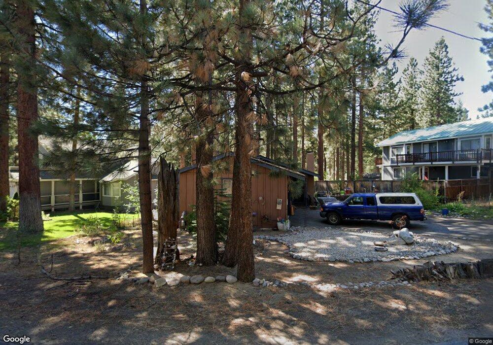
797 S Shore Dr South Lake Tahoe, CA 96150
Estimated Value: $434,000 - $591,000
3
Beds
2
Baths
900
Sq Ft
$585/Sq Ft
Est. Value
About This Home
This home is located at 797 S Shore Dr, South Lake Tahoe, CA 96150 and is currently estimated at $526,343, approximately $584 per square foot. 797 S Shore Dr is a home located in El Dorado County with nearby schools including Tahoe Valley Elementary School, South Tahoe Middle School, and South Tahoe High School.
Ownership History
Date
Name
Owned For
Owner Type
Purchase Details
Closed on
Oct 8, 2007
Sold by
Nakamura Masaru and The Torru Nakamura Trust
Bought by
Gronwold Cindy S
Current Estimated Value
Home Financials for this Owner
Home Financials are based on the most recent Mortgage that was taken out on this home.
Original Mortgage
$297,000
Outstanding Balance
$243,404
Interest Rate
6.4%
Mortgage Type
Purchase Money Mortgage
Estimated Equity
$282,940
Purchase Details
Closed on
Sep 27, 2007
Sold by
Gronwold Karsten
Bought by
Gronwold Cindy S
Home Financials for this Owner
Home Financials are based on the most recent Mortgage that was taken out on this home.
Original Mortgage
$297,000
Outstanding Balance
$243,404
Interest Rate
6.4%
Mortgage Type
Purchase Money Mortgage
Estimated Equity
$282,940
Purchase Details
Closed on
Feb 7, 2001
Sold by
Nakamura Torru
Bought by
Nakamura Torru and Nakamura Masaru
Create a Home Valuation Report for This Property
The Home Valuation Report is an in-depth analysis detailing your home's value as well as a comparison with similar homes in the area
Home Values in the Area
Average Home Value in this Area
Purchase History
| Date | Buyer | Sale Price | Title Company |
|---|---|---|---|
| Gronwold Cindy S | $330,000 | Old Republic Title Company | |
| Gronwold Cindy S | -- | Old Republic Title Company | |
| Nakamura Torru | -- | -- |
Source: Public Records
Mortgage History
| Date | Status | Borrower | Loan Amount |
|---|---|---|---|
| Open | Gronwold Cindy S | $297,000 |
Source: Public Records
Tax History Compared to Growth
Tax History
| Year | Tax Paid | Tax Assessment Tax Assessment Total Assessment is a certain percentage of the fair market value that is determined by local assessors to be the total taxable value of land and additions on the property. | Land | Improvement |
|---|---|---|---|---|
| 2025 | $3,359 | $315,000 | $154,000 | $161,000 |
| 2024 | $3,359 | $315,000 | $154,000 | $161,000 |
| 2023 | $3,365 | $315,000 | $154,000 | $161,000 |
| 2022 | $3,396 | $315,000 | $154,000 | $161,000 |
| 2021 | $3,409 | $315,000 | $154,000 | $161,000 |
| 2020 | $3,394 | $315,000 | $154,000 | $161,000 |
| 2019 | $3,443 | $315,000 | $154,000 | $161,000 |
| 2018 | $3,432 | $315,000 | $154,000 | $161,000 |
| 2017 | $2,808 | $256,500 | $77,000 | $179,500 |
| 2016 | $2,805 | $256,500 | $77,000 | $179,500 |
| 2015 | $2,755 | $256,500 | $77,000 | $179,500 |
| 2014 | $2,755 | $256,500 | $77,000 | $179,500 |
Source: Public Records
Map
Nearby Homes
- 776 Patricia Ln
- 914 Tahoe Island Dr
- 2175 Royal Ave
- 741 Tahoe Island Dr
- 673 James Ave
- 724 Tahoe Island Dr
- 2191 Butler Ave
- 867 Clement St
- 20149 U S 50
- 2028 13th St
- 629 James Ave
- 760 Clement St
- 921 Gardner St
- 1124 Tata Ln
- 2244 Texas Ave
- 2126 Helen Ave
- 783 Michael Ct Unit Share B
- 783 Michael Ct
- 2293 Eloise Ave Unit D
- 2081 Venice Dr Unit 285
- 805 S Shore Dr
- 789 S Shore Dr
- 809 S Shore Dr
- 783 S Shore Dr
- 860 Secret Harbor Dr
- 861 Lapham Dr
- 851 Secret Harbor Dr
- 857 Secret Harbor Dr
- 779 S Shore Dr
- 811 S Shore Dr
- 866 Secret Harbor Dr
- 812 S Shore Dr
- 861 Secret Harbor Dr
- 780 S Shore Dr
- 869 Lapham Dr
- 815 S Shore Dr
- 869 Secret Harbor Dr
- 850 Rainbow Dr
- 868 Lapham Dr
- 872 Secret Harbor Dr