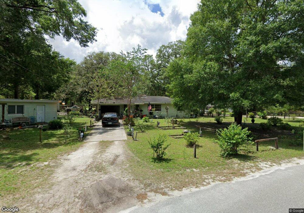
798 Cayuga Dr Orange City, FL 32763
Estimated Value: $194,084 - $277,000
2
Beds
2
Baths
1,075
Sq Ft
$214/Sq Ft
Est. Value
About This Home
This home is located at 798 Cayuga Dr, Orange City, FL 32763 and is currently estimated at $229,521, approximately $213 per square foot. 798 Cayuga Dr is a home located in Volusia County with nearby schools including Manatee Cove Elementary School, River Springs Middle School, and University High School.
Ownership History
Date
Name
Owned For
Owner Type
Purchase Details
Closed on
Mar 17, 2022
Sold by
Bates Sr Douglas L and Bates Ann Gloria
Bought by
Bates Douglas L and Bates Douglas L
Current Estimated Value
Purchase Details
Closed on
Apr 23, 1999
Sold by
Fl Sheriffs Youth Ranches Inc
Bought by
Bates Douglas L and Bates Gloria Ann
Home Financials for this Owner
Home Financials are based on the most recent Mortgage that was taken out on this home.
Original Mortgage
$30,000
Interest Rate
7.06%
Purchase Details
Closed on
Mar 15, 1992
Bought by
Bates Douglas L and Bates Gloria Ann
Create a Home Valuation Report for This Property
The Home Valuation Report is an in-depth analysis detailing your home's value as well as a comparison with similar homes in the area
Home Values in the Area
Average Home Value in this Area
Purchase History
| Date | Buyer | Sale Price | Title Company |
|---|---|---|---|
| Bates Douglas L | -- | None Listed On Document | |
| Bates Douglas L | $35,000 | -- | |
| Bates Douglas L | $100 | -- |
Source: Public Records
Mortgage History
| Date | Status | Borrower | Loan Amount |
|---|---|---|---|
| Previous Owner | Bates Douglas L | $30,000 |
Source: Public Records
Tax History Compared to Growth
Tax History
| Year | Tax Paid | Tax Assessment Tax Assessment Total Assessment is a certain percentage of the fair market value that is determined by local assessors to be the total taxable value of land and additions on the property. | Land | Improvement |
|---|---|---|---|---|
| 2025 | $486 | $47,270 | -- | -- |
| 2024 | $486 | $45,938 | -- | -- |
| 2023 | $486 | $44,600 | $0 | $0 |
| 2022 | $458 | $43,301 | $0 | $0 |
| 2021 | $461 | $42,040 | $0 | $0 |
| 2020 | $453 | $41,460 | $0 | $0 |
| 2019 | $455 | $40,528 | $0 | $0 |
| 2018 | $439 | $39,772 | $0 | $0 |
| 2017 | $410 | $38,954 | $0 | $0 |
| 2016 | $377 | $38,153 | $0 | $0 |
| 2015 | $381 | $37,888 | $0 | $0 |
| 2014 | $383 | $37,587 | $0 | $0 |
Source: Public Records
Map
Nearby Homes
- 0 Hamilton Ave Unit MFRO6290651
- 1135 Woodchuck Ct
- 990 Liskeard Ave
- 225 White Dove Ave
- 990 W French Ave
- 912 Sylva Ave
- 235 Lancaster Ave
- 571 James St
- 414 Lancaster Ave
- 325 Charles Ave
- 409 S Sparkman Ave
- 467 Lancaster Ave
- 314 Charles Ave
- 318 Charles Ave
- 564 W Central Ave
- 860 Lancaster Ave
- 143 W French Ave
- 711 Sunset Ave
- 0 Boston Paper Ave Unit MFRV4927386
- 0 No St Unit MFRV4940688
- 131 S Lawton Ave
- 1097 Springbank Ave Unit 2
- 201 S Lawton Ave
- 115 S Lawton Ave
- 1076 Springbank Ave
- 210 S Lawton Ave
- 1075 Springbank Ave
- 0 S Lawton Unit V4720397
- 1101 Lawton Woods Ln
- 1070 Springbank Ave
- 0 Cayuga Dr Unit V4618457
- 1065 Springbank Ave
- 1110 Woodchuck Ct
- 1066 Springbank Ave
- S Lawton Ave
- 1061 Springbank Ave
- 1120 Woodchuck Ct
- 275 Niagara Ave
- 140 N Lawton Ave
- 109 S Lawton Ave