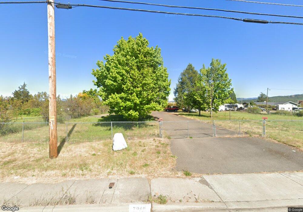
7988 Atlantic Ave White City, OR 97503
Estimated Value: $415,000 - $452,000
3
Beds
2
Baths
1,812
Sq Ft
$239/Sq Ft
Est. Value
About This Home
This home is located at 7988 Atlantic Ave, White City, OR 97503 and is currently estimated at $432,202, approximately $238 per square foot. 7988 Atlantic Ave is a home located in Jackson County with nearby schools including Table Rock Elementary School, White Mountain Middle School, and Eagle Point Middle School.
Ownership History
Date
Name
Owned For
Owner Type
Purchase Details
Closed on
Dec 15, 2016
Sold by
Dechert John C and Dechert Lynne M
Bought by
Dechert John C
Current Estimated Value
Purchase Details
Closed on
Jul 2, 2008
Sold by
Dechert John C
Bought by
Dechert John C and Dechert Lynne M
Home Financials for this Owner
Home Financials are based on the most recent Mortgage that was taken out on this home.
Original Mortgage
$50,000
Interest Rate
6%
Mortgage Type
New Conventional
Create a Home Valuation Report for This Property
The Home Valuation Report is an in-depth analysis detailing your home's value as well as a comparison with similar homes in the area
Home Values in the Area
Average Home Value in this Area
Purchase History
| Date | Buyer | Sale Price | Title Company |
|---|---|---|---|
| Dechert John C | -- | None Available | |
| Dechert John C | -- | Lawyers Title Ins |
Source: Public Records
Mortgage History
| Date | Status | Borrower | Loan Amount |
|---|---|---|---|
| Closed | Dechert John C | $50,000 |
Source: Public Records
Tax History Compared to Growth
Tax History
| Year | Tax Paid | Tax Assessment Tax Assessment Total Assessment is a certain percentage of the fair market value that is determined by local assessors to be the total taxable value of land and additions on the property. | Land | Improvement |
|---|---|---|---|---|
| 2025 | $3,326 | $240,150 | $71,480 | $168,670 |
| 2024 | $3,326 | $233,160 | $69,400 | $163,760 |
| 2023 | $3,213 | $226,370 | $67,380 | $158,990 |
| 2022 | $3,125 | $226,370 | $67,380 | $158,990 |
| 2021 | $3,033 | $219,780 | $65,410 | $154,370 |
| 2020 | $3,219 | $213,380 | $63,520 | $149,860 |
| 2019 | $3,169 | $201,140 | $59,870 | $141,270 |
| 2018 | $3,093 | $195,290 | $58,120 | $137,170 |
| 2017 | $3,015 | $195,290 | $58,120 | $137,170 |
| 2016 | $2,943 | $184,090 | $54,790 | $129,300 |
| 2015 | $2,821 | $184,090 | $54,790 | $129,300 |
| 2014 | $2,693 | $173,530 | $51,650 | $121,880 |
Source: Public Records
Map
Nearby Homes
- 3885 Avenue C
- 7843 Cadence Ln
- 7793 Fallbrook Ln
- 7894 Laura Ln
- 7973 Isabella Way
- 3501 Avenue C Unit SPC 35
- 7875 Houston Loop
- 7871 Houston Loop
- 7865 Houston Loop
- 7880 Phaedra Ln
- 7870 Phaedra Ln
- 7858 Phaedra Ln
- 7540 Rocio Dr
- 7834 Phaedra Ln
- 7837 Phaedra Ln
- 7927 Wilson Way
- 4423 Avenue E
- 3765 Nicholas Way
- 3775 Agate Meadows Ct
- 7929 Jacqueline Way
- 7992 Atlantic Ave
- 7982 Atlantic Ave
- 0 Atlantic Ave
- 3917 Avenue E
- 3923 Avenue E
- 8010 Atlantic Ave
- 8010 Atlantic Ave Unit Lot 1
- 3911 Avenue E
- 3892 Avenue E
- 3905 Avenue E
- 7890 Atlantic Ave
- 3929 Avenue E
- 7993 Atlantic Ave
- 3879 Avenue E
- 3880 Avenue E
- 3879 E Ave
- 3874 Heritage Way
- 8030 Atlantic Ave
- 7871 Atlantic Ave
- 3871 Avenue E