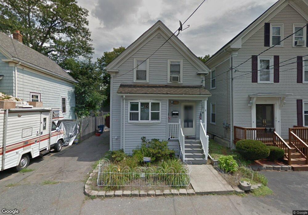
8 Atherton St Saugus, MA 01906
Lynnhurst NeighborhoodEstimated Value: $496,000 - $555,000
3
Beds
1
Bath
1,058
Sq Ft
$486/Sq Ft
Est. Value
About This Home
This home is located at 8 Atherton St, Saugus, MA 01906 and is currently estimated at $513,890, approximately $485 per square foot. 8 Atherton St is a home located in Essex County with nearby schools including Saugus High School, Pioneer Charter School Of Science II, and Sacred Heart School.
Ownership History
Date
Name
Owned For
Owner Type
Purchase Details
Closed on
Apr 11, 2025
Sold by
Sparks Claire L
Bought by
Comeau Justine K and Sparks Claire L
Current Estimated Value
Purchase Details
Closed on
Sep 23, 1985
Bought by
Comeau Thomas W and Sparks-Comeau Claire L
Create a Home Valuation Report for This Property
The Home Valuation Report is an in-depth analysis detailing your home's value as well as a comparison with similar homes in the area
Home Values in the Area
Average Home Value in this Area
Purchase History
| Date | Buyer | Sale Price | Title Company |
|---|---|---|---|
| Comeau Justine K | -- | None Available | |
| Comeau Justine K | -- | None Available | |
| Comeau Justine K | -- | None Available | |
| Comeau Thomas W | -- | -- |
Source: Public Records
Mortgage History
| Date | Status | Borrower | Loan Amount |
|---|---|---|---|
| Previous Owner | Comeau Thomas W | $54,000 | |
| Previous Owner | Comeau Thomas W | $40,000 | |
| Previous Owner | Comeau Thomas W | $93,000 |
Source: Public Records
Tax History Compared to Growth
Tax History
| Year | Tax Paid | Tax Assessment Tax Assessment Total Assessment is a certain percentage of the fair market value that is determined by local assessors to be the total taxable value of land and additions on the property. | Land | Improvement |
|---|---|---|---|---|
| 2025 | $3,879 | $363,200 | $291,100 | $72,100 |
| 2024 | $4,922 | $462,200 | $274,400 | $187,800 |
| 2023 | $4,780 | $424,500 | $241,200 | $183,300 |
| 2022 | $4,626 | $385,200 | $221,200 | $164,000 |
| 2021 | $4,096 | $331,900 | $192,100 | $139,800 |
| 2020 | $3,848 | $322,800 | $183,000 | $139,800 |
| 2019 | $3,728 | $306,100 | $166,300 | $139,800 |
| 2018 | $3,398 | $293,400 | $161,300 | $132,100 |
| 2017 | $3,176 | $263,600 | $150,500 | $113,100 |
| 2016 | $2,712 | $222,300 | $146,900 | $75,400 |
| 2015 | $2,546 | $211,800 | $139,900 | $71,900 |
| 2014 | $2,508 | $216,000 | $139,900 | $76,100 |
Source: Public Records
Map
Nearby Homes
- 771 Boston St
- 29 Fenton Ave
- 62 Chestnut St Unit 4
- 62 Chestnut St Unit 2
- 725 Boston St
- 20 Houston St
- 5 Stanley Terrace
- 5 Springdale Ave
- 4 Oneil Way
- 24 Ballard St
- 9 Spencer Ave
- 44 Ballard St
- 33 Springdale Ave
- 35 Curran Rd
- 110 Holyoke St
- 100 Ashland St
- 0 Hampton St
- 17 Elaine Ave
- 9 Douglas Rd
- 79 Laurel St
- 10 Atherton St
- 6 Atherton St
- 12 Atherton St
- 7 Atherton St
- 14 Atherton St
- 5 Atherton St
- 236 Hamilton St
- 234 Hamilton St
- 17 Atherton St
- 3 Atherton St
- 1 Atherton St
- 12 Sumner St
- 30 Hesper St
- 224 Hamilton St
- 238 Hamilton St
- 238 Hamilton St Unit 1
- 11 Hamilton St
- 9-11 Hesper St Unit 1
- 9-11 Hesper St
- 9 Hesper St Unit 11