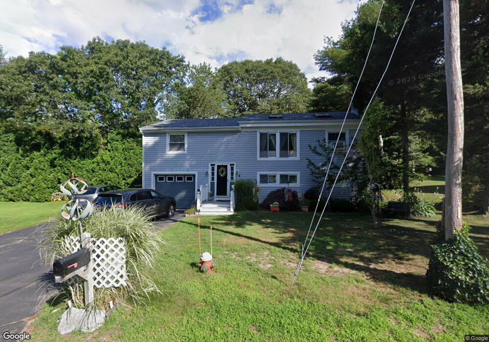
8 Barlow Ln Mattapoisett, MA 02739
Estimated Value: $498,000 - $567,000
3
Beds
2
Baths
1,144
Sq Ft
$467/Sq Ft
Est. Value
About This Home
This home is located at 8 Barlow Ln, Mattapoisett, MA 02739 and is currently estimated at $533,782, approximately $466 per square foot. 8 Barlow Ln is a home located in Plymouth County with nearby schools including Center School, Old Hammondtown Elementary, and Old Rochester Regional High School.
Ownership History
Date
Name
Owned For
Owner Type
Purchase Details
Closed on
May 22, 2025
Sold by
Lindsey Terry E and Lindsey Linda S
Bought by
Lindsey Irt and Algarvio
Current Estimated Value
Purchase Details
Closed on
Jun 16, 1998
Sold by
Olson Ventures Inc
Bought by
Lindsey Terry E and Lindsey Linda S
Purchase Details
Closed on
Apr 17, 1998
Sold by
Coelho Albert B and Coelho Laurie A
Bought by
Olson Ventures Inc
Purchase Details
Closed on
Jun 14, 1994
Sold by
Watts Stephen L and Watts Jeannine B
Bought by
Coelho Albert B and Coelho Laurie A
Create a Home Valuation Report for This Property
The Home Valuation Report is an in-depth analysis detailing your home's value as well as a comparison with similar homes in the area
Home Values in the Area
Average Home Value in this Area
Purchase History
| Date | Buyer | Sale Price | Title Company |
|---|---|---|---|
| Lindsey Irt | -- | None Available | |
| Lindsey Irt | -- | None Available | |
| Lindsey Terry E | $141,500 | -- | |
| Lindsey Terry E | $141,500 | -- | |
| Olson Ventures Inc | $114,000 | -- | |
| Olson Ventures Inc | $114,000 | -- | |
| Coelho Albert B | $125,000 | -- | |
| Coelho Albert B | $125,000 | -- |
Source: Public Records
Mortgage History
| Date | Status | Borrower | Loan Amount |
|---|---|---|---|
| Previous Owner | Coelho Albert B | $120,000 | |
| Previous Owner | Coelho Albert B | $40,000 |
Source: Public Records
Tax History Compared to Growth
Tax History
| Year | Tax Paid | Tax Assessment Tax Assessment Total Assessment is a certain percentage of the fair market value that is determined by local assessors to be the total taxable value of land and additions on the property. | Land | Improvement |
|---|---|---|---|---|
| 2025 | $4,267 | $396,600 | $148,300 | $248,300 |
| 2024 | $4,168 | $396,600 | $148,300 | $248,300 |
| 2023 | $4,124 | $366,600 | $145,700 | $220,900 |
| 2022 | $3,871 | $312,200 | $121,400 | $190,800 |
| 2021 | $3,915 | $302,100 | $121,400 | $180,700 |
| 2020 | $3,938 | $291,900 | $115,600 | $176,300 |
| 2019 | $3,769 | $285,300 | $109,000 | $176,300 |
| 2018 | $3,733 | $286,700 | $116,200 | $170,500 |
| 2017 | $3,474 | $265,800 | $116,200 | $149,600 |
| 2016 | $3,428 | $259,700 | $104,600 | $155,100 |
| 2015 | $3,322 | $255,500 | $104,600 | $150,900 |
| 2014 | $3,429 | $269,600 | $104,600 | $165,000 |
Source: Public Records
Map
Nearby Homes
- 9 Hitching Post Rd
- 47 Fairhaven Rd
- 13 Park Place
- 7 Pearl St
- 35 North St
- 12 Cannon St
- 8 Captains Ln
- 11 Captains Ln
- 83 Fairhaven Rd
- 52 Prince Snow Cir
- 0 Whalers Way
- 15 Ned's Point Rd
- 3 Brandt Island Rd
- 1 Starboard Way
- 19 High Ridge Dr
- 41 Starboard Way
- 31 Split Rock Ln
- 421 Huttleston Ave
- 0 Harbor Acres Ln - Lot B
- 20 Forestview Dr