8 Sandy Pond Ln North Easton, MA 02356
Estimated Value: $947,249 - $1,022,000
4
Beds
3
Baths
2,906
Sq Ft
$340/Sq Ft
Est. Value
About This Home
This home is located at 8 Sandy Pond Ln, North Easton, MA 02356 and is currently estimated at $989,312, approximately $340 per square foot. 8 Sandy Pond Ln is a home located in Bristol County with nearby schools including Easton Middle School.
Ownership History
Date
Name
Owned For
Owner Type
Purchase Details
Closed on
Jul 1, 1997
Sold by
Douglas A King Bldrs
Bought by
Willar Jeffrey N and Willar Sherri L
Current Estimated Value
Create a Home Valuation Report for This Property
The Home Valuation Report is an in-depth analysis detailing your home's value as well as a comparison with similar homes in the area
Home Values in the Area
Average Home Value in this Area
Purchase History
| Date | Buyer | Sale Price | Title Company |
|---|---|---|---|
| Willar Jeffrey N | $313,744 | -- | |
| Willar Jeffrey N | $313,744 | -- |
Source: Public Records
Mortgage History
| Date | Status | Borrower | Loan Amount |
|---|---|---|---|
| Open | Willar Jeffrey N | $191,286 | |
| Closed | Willar Jeffrey N | $206,000 | |
| Closed | Willar Jeffrey N | $206,000 | |
| Closed | Willar Jeffrey N | $205,000 |
Source: Public Records
Tax History Compared to Growth
Tax History
| Year | Tax Paid | Tax Assessment Tax Assessment Total Assessment is a certain percentage of the fair market value that is determined by local assessors to be the total taxable value of land and additions on the property. | Land | Improvement |
|---|---|---|---|---|
| 2025 | $11,110 | $890,200 | $393,100 | $497,100 |
| 2024 | $10,617 | $795,300 | $299,300 | $496,000 |
| 2023 | $10,156 | $696,100 | $291,400 | $404,700 |
| 2022 | $10,036 | $652,100 | $262,400 | $389,700 |
| 2021 | $9,912 | $640,300 | $250,600 | $389,700 |
| 2020 | $9,602 | $624,300 | $245,900 | $378,400 |
| 2019 | $9,274 | $581,100 | $221,100 | $360,000 |
| 2018 | $9,050 | $558,300 | $221,100 | $337,200 |
| 2017 | $8,684 | $535,400 | $221,100 | $314,300 |
| 2016 | $8,356 | $516,100 | $217,000 | $299,100 |
| 2015 | $8,727 | $520,100 | $221,000 | $299,100 |
| 2014 | $8,097 | $486,300 | $191,000 | $295,300 |
Source: Public Records
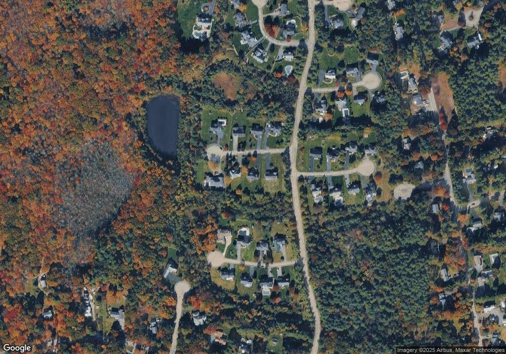
Map
Nearby Homes
- 6 Kingsley Rd
- 37 Kingsley Rd
- 15 Randall Farm Dr
- 89 Massapoag Ave
- 45 Randall St
- 79 Summer St
- 73 Summer St
- 1 Whittier Ln Unit 1
- 18 Prudence Crandall Ln Unit 18
- 98 Massapoag Ave
- 29 Owl Ridge Rd
- 9 Oak Ridge Dr
- 32 Spooner St
- 218 Massapoag Ave
- 11 Olde Stable Ln
- 260 Massapoag Ave
- 8 Hobart Way
- 67 Center St
- 3 Nicole Rd
- 30 King Arthur Rd