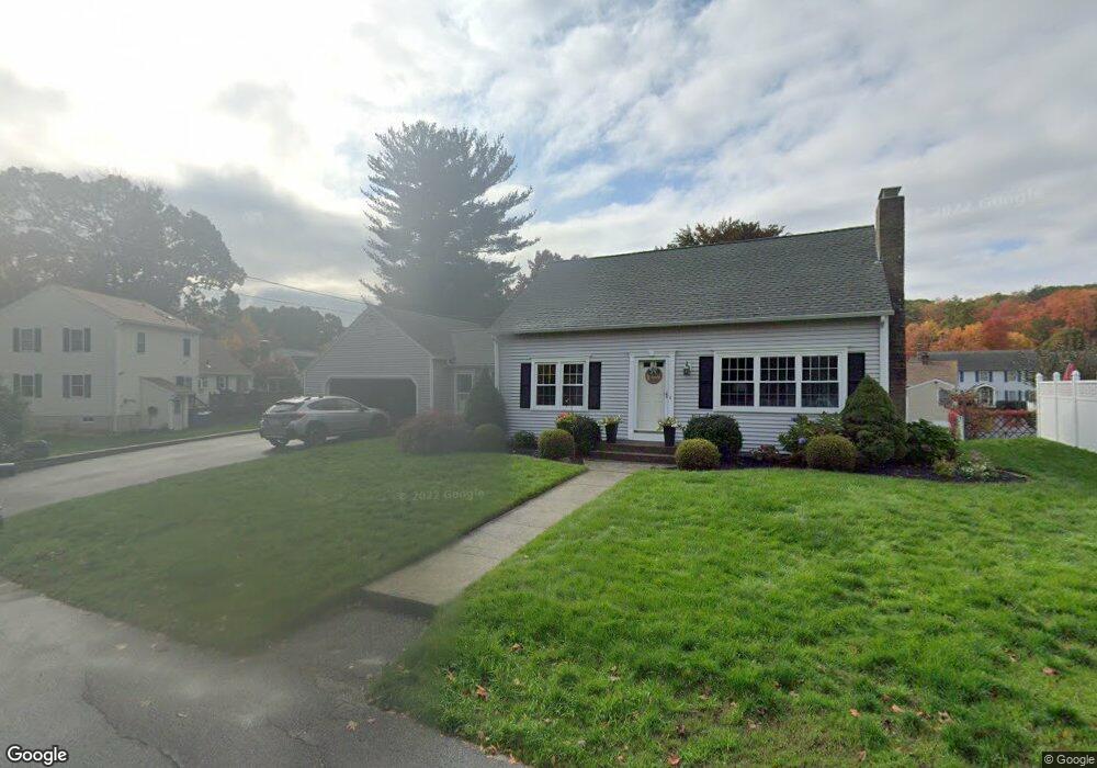
8 Woodside Ave Leominster, MA 01453
Estimated Value: $489,000 - $547,000
4
Beds
2
Baths
1,666
Sq Ft
$304/Sq Ft
Est. Value
About This Home
This home is located at 8 Woodside Ave, Leominster, MA 01453 and is currently estimated at $507,244, approximately $304 per square foot. 8 Woodside Ave is a home located in Worcester County with nearby schools including Leominster High School, St. Leo School, and St. Anna Catholic School.
Ownership History
Date
Name
Owned For
Owner Type
Purchase Details
Closed on
May 29, 1997
Sold by
Fnma
Bought by
Stamas John and Stamas Marie
Current Estimated Value
Purchase Details
Closed on
Feb 28, 1997
Sold by
Spinelli Ronald P
Bought by
Federal National Mortgage Association
Purchase Details
Closed on
Mar 31, 1994
Sold by
Pirro Armand A and Pirro Betty Ann
Bought by
Spinelli Ronald P and Spinelli Pamela
Create a Home Valuation Report for This Property
The Home Valuation Report is an in-depth analysis detailing your home's value as well as a comparison with similar homes in the area
Home Values in the Area
Average Home Value in this Area
Purchase History
| Date | Buyer | Sale Price | Title Company |
|---|---|---|---|
| Stamas John | $126,000 | -- | |
| Federal National Mortgage Association | $103,500 | -- | |
| Spinelli Ronald P | $135,000 | -- |
Source: Public Records
Mortgage History
| Date | Status | Borrower | Loan Amount |
|---|---|---|---|
| Open | Spinelli Ronald P | $88,000 | |
| Closed | Spinelli Ronald P | $15,000 | |
| Closed | Spinelli Ronald P | $117,600 |
Source: Public Records
Tax History Compared to Growth
Tax History
| Year | Tax Paid | Tax Assessment Tax Assessment Total Assessment is a certain percentage of the fair market value that is determined by local assessors to be the total taxable value of land and additions on the property. | Land | Improvement |
|---|---|---|---|---|
| 2025 | $5,706 | $406,700 | $127,200 | $279,500 |
| 2024 | $5,467 | $376,800 | $121,100 | $255,700 |
| 2023 | $5,329 | $342,900 | $105,300 | $237,600 |
| 2022 | $5,069 | $306,100 | $91,500 | $214,600 |
| 2021 | $5,026 | $277,200 | $71,300 | $205,900 |
| 2020 | $4,655 | $258,900 | $71,300 | $187,600 |
| 2019 | $4,566 | $246,300 | $67,800 | $178,500 |
| 2018 | $4,479 | $231,700 | $65,900 | $165,800 |
| 2017 | $3,930 | $199,200 | $61,500 | $137,700 |
| 2016 | $3,802 | $194,200 | $61,500 | $132,700 |
| 2015 | $3,711 | $190,900 | $61,500 | $129,400 |
| 2014 | $3,555 | $188,200 | $65,100 | $123,100 |
Source: Public Records
Map
Nearby Homes
- 85 Lowe St
- 14 Woodside Ave
- 11 Old Brook Rd
- 11 Old Brook Rd Unit 1
- 29 Old Brook Rd
- 11 Woodside Ave
- 91 Lowe St
- 73 Lowe St
- 22 Woodside Ave
- 19 Woodside Ave
- 61 Lowe St
- 35 Old Brook Rd
- 16 Old Brook Rd
- 28 Old Brook Rd
- 10 Old Brook Rd
- 34 Woodside Ave
- 101 Lowe St
- 33 Woodside Ave
- 45 Old Brook Rd
- 34 Old Brook Rd