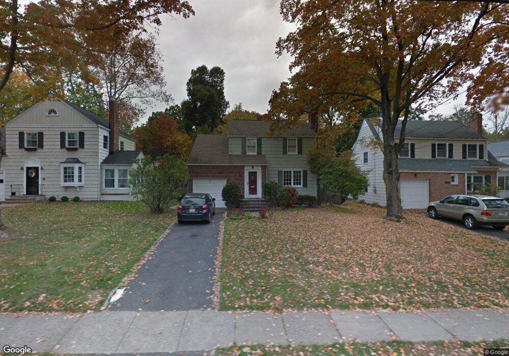
80 Lafayette Ave Chatham, NJ 07928
Estimated Value: $999,110 - $1,112,000
--
Bed
--
Bath
1,582
Sq Ft
$672/Sq Ft
Est. Value
About This Home
This home is located at 80 Lafayette Ave, Chatham, NJ 07928 and is currently estimated at $1,062,778, approximately $671 per square foot. 80 Lafayette Ave is a home located in Morris County with nearby schools including Chatham High School, St. Patrick School, and ECLC of New Jersey.
Ownership History
Date
Name
Owned For
Owner Type
Purchase Details
Closed on
Jul 15, 2002
Sold by
Leskauskas Edward
Bought by
Morris Scott and Schetlick Nancy
Current Estimated Value
Home Financials for this Owner
Home Financials are based on the most recent Mortgage that was taken out on this home.
Original Mortgage
$312,000
Outstanding Balance
$131,606
Interest Rate
6.64%
Estimated Equity
$931,172
Purchase Details
Closed on
Sep 30, 1998
Sold by
Boudreau John and Boudreau Margaret
Bought by
Leskauskas Edward L and Leskauskas Diana L
Home Financials for this Owner
Home Financials are based on the most recent Mortgage that was taken out on this home.
Original Mortgage
$324,000
Interest Rate
6.8%
Purchase Details
Closed on
Jan 26, 1994
Sold by
Barna Stephen
Bought by
Boundreau John and Bondreau Margaret
Home Financials for this Owner
Home Financials are based on the most recent Mortgage that was taken out on this home.
Original Mortgage
$220,000
Interest Rate
7.11%
Create a Home Valuation Report for This Property
The Home Valuation Report is an in-depth analysis detailing your home's value as well as a comparison with similar homes in the area
Home Values in the Area
Average Home Value in this Area
Purchase History
| Date | Buyer | Sale Price | Title Company |
|---|---|---|---|
| Morris Scott | $490,000 | -- | |
| Leskauskas Edward L | $360,000 | -- | |
| Boundreau John | $275,000 | -- |
Source: Public Records
Mortgage History
| Date | Status | Borrower | Loan Amount |
|---|---|---|---|
| Open | Morris Scott | $312,000 | |
| Previous Owner | Leskauskas Edward L | $324,000 | |
| Previous Owner | Boundreau John | $220,000 |
Source: Public Records
Tax History Compared to Growth
Tax History
| Year | Tax Paid | Tax Assessment Tax Assessment Total Assessment is a certain percentage of the fair market value that is determined by local assessors to be the total taxable value of land and additions on the property. | Land | Improvement |
|---|---|---|---|---|
| 2025 | $12,384 | $764,900 | $525,800 | $239,100 |
| 2024 | $11,887 | $764,900 | $525,800 | $239,100 |
| 2023 | $11,887 | $764,900 | $525,800 | $239,100 |
| 2022 | $11,873 | $555,600 | $402,200 | $153,400 |
| 2021 | $11,873 | $555,600 | $402,200 | $153,400 |
| 2020 | $11,773 | $555,600 | $402,200 | $153,400 |
| 2019 | $11,690 | $555,600 | $402,200 | $153,400 |
| 2018 | $11,362 | $555,600 | $402,200 | $153,400 |
| 2017 | $11,034 | $555,600 | $402,200 | $153,400 |
| 2016 | $10,745 | $555,600 | $402,200 | $153,400 |
| 2015 | $10,618 | $555,600 | $402,200 | $153,400 |
| 2014 | $10,540 | $555,600 | $402,200 | $153,400 |
Source: Public Records
Map
Nearby Homes
- 5 Woodland Rd
- 38 Essex Rd
- 380 Main St Unit 5
- 17 Coleman Ave W
- 85 Kings Rd
- 1 John St
- 3 Woodland Rd
- 128 Fairmount Ave
- 380 Main St Unit19
- 30 Hillside Ave
- 47 Red Rd
- 11 Dellwood Ave
- 44 Brooklake Rd
- 24 Bridge St
- 3 Durwood Place
- 318 Main St Unit 34
- 102 Center Ave
- 47 Niles Ave
- 16 Driftway St
- 25 Roosevelt Ave