80 Range Rd Louisa, VA 23093
Estimated Value: $359,000 - $392,950
2
Beds
2
Baths
1,824
Sq Ft
$207/Sq Ft
Est. Value
About This Home
This home is located at 80 Range Rd, Louisa, VA 23093 and is currently estimated at $376,988, approximately $206 per square foot. 80 Range Rd is a home located in Louisa County with nearby schools including Moss-Nuckols Elementary School, Louisa County Middle School, and Louisa County High School.
Ownership History
Date
Name
Owned For
Owner Type
Purchase Details
Closed on
Nov 11, 2009
Sold by
Brogan Roger D and Brogan Lisa M
Bought by
Amick James Herbert and Amick Katie
Current Estimated Value
Purchase Details
Closed on
Oct 1, 2008
Sold by
Amick James Herbert and Amick Katie
Bought by
Brogan Roger D and Brogan Lisa M
Home Financials for this Owner
Home Financials are based on the most recent Mortgage that was taken out on this home.
Original Mortgage
$155,000
Interest Rate
5%
Mortgage Type
Purchase Money Mortgage
Purchase Details
Closed on
Feb 13, 2007
Sold by
Amick James Herbert and Amick Katie
Bought by
Amick James Herbert
Create a Home Valuation Report for This Property
The Home Valuation Report is an in-depth analysis detailing your home's value as well as a comparison with similar homes in the area
Home Values in the Area
Average Home Value in this Area
Purchase History
| Date | Buyer | Sale Price | Title Company |
|---|---|---|---|
| Amick James Herbert | -- | None Available | |
| Brogan Roger D | $155,000 | Old Republic National Title | |
| Amick James Herbert | -- | None Available |
Source: Public Records
Mortgage History
| Date | Status | Borrower | Loan Amount |
|---|---|---|---|
| Previous Owner | Brogan Roger D | $155,000 |
Source: Public Records
Tax History Compared to Growth
Tax History
| Year | Tax Paid | Tax Assessment Tax Assessment Total Assessment is a certain percentage of the fair market value that is determined by local assessors to be the total taxable value of land and additions on the property. | Land | Improvement |
|---|---|---|---|---|
| 2025 | $2,546 | $382,000 | $41,000 | $341,000 |
| 2024 | $2,546 | $353,600 | $36,200 | $317,400 |
| 2023 | $2,300 | $336,200 | $32,600 | $303,600 |
| 2022 | $2,146 | $298,100 | $30,200 | $267,900 |
| 2021 | $1,414 | $262,100 | $27,800 | $234,300 |
| 2020 | $1,845 | $256,300 | $27,800 | $228,500 |
| 2019 | $1,733 | $240,700 | $27,800 | $212,900 |
| 2018 | $1,722 | $239,100 | $27,800 | $211,300 |
| 2017 | $1,554 | $223,800 | $26,600 | $197,200 |
| 2016 | $1,554 | $215,800 | $26,600 | $189,200 |
| 2015 | $1,532 | $212,800 | $26,600 | $186,200 |
| 2013 | -- | $205,800 | $27,800 | $178,000 |
Source: Public Records
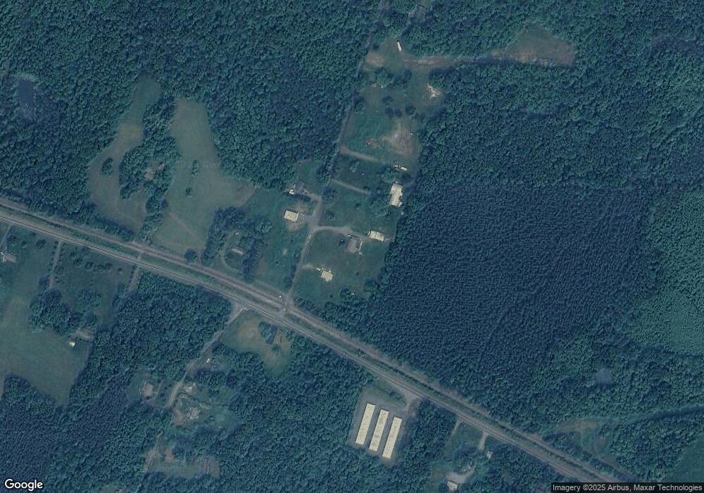
Map
Nearby Homes
- 23-10-ABC Louisa Rd Unit 23-10 A, B, C
- 23-10-ABC Louisa Rd
- 25 Weston Rd
- 88 Martin Village Rd Unit MV 16D
- 42 Martin Village Rd Unit 16B MV
- 0 Martin Village Rd Unit 16E
- 128 West St
- 104 Henson Ave
- 150 N Side Park
- 101 West St
- 109 Ellisville Dr
- 217 Ellisville Dr
- 454 Kents Mill Rd
- 145 Walnut Shade Rd
- 1033 Harris Creek Rd
- 423 Amick Rd Unit AW2
- 451 Amick Rd Unit AW4
- TBD Bannister Town Rd
- 286 Bannister Town Rd Unit CF4
- 46 Range Rd
- 43 Range Rd
- 130 Range Rd
- 119 Range Rd
- 19 Range Rd
- 214 Range Rd
- 4232 Waldrop Church Rd
- 4210 Waldrop Church Rd
- 4182 Waldrop Church Rd
- 20706 Louisa Rd
- 4201 Waldrop Church Rd
- 284 Range Rd
- 20724 Louisa Rd
- 4138 Waldrop Church Rd
- 4158 Waldrop Church Rd
- 20388 Louisa Rd
- 20778 Louisa Rd
- 356 Range Rd
- 4101 Waldrop Church Rd
- 337 Range Rd