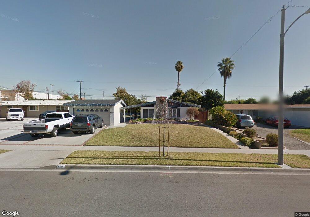
800 Chantry Dr La Habra, CA 90631
Estimated Value: $786,000 - $886,000
2
Beds
2
Baths
1,261
Sq Ft
$656/Sq Ft
Est. Value
About This Home
This home is located at 800 Chantry Dr, La Habra, CA 90631 and is currently estimated at $827,613, approximately $656 per square foot. 800 Chantry Dr is a home located in Orange County with nearby schools including Jordan Elementary School, Rancho-Starbuck Intermediate School, and La Habra High School.
Ownership History
Date
Name
Owned For
Owner Type
Purchase Details
Closed on
Jul 26, 2023
Sold by
Rivera Annette M
Bought by
Annette M Rivera Trust and Rivera
Current Estimated Value
Purchase Details
Closed on
Feb 4, 1997
Sold by
Hanson David K and Hanson Ann Elizabeth
Bought by
Rivera Kenneth J and Rivera Annette M
Home Financials for this Owner
Home Financials are based on the most recent Mortgage that was taken out on this home.
Original Mortgage
$163,300
Interest Rate
7.86%
Create a Home Valuation Report for This Property
The Home Valuation Report is an in-depth analysis detailing your home's value as well as a comparison with similar homes in the area
Home Values in the Area
Average Home Value in this Area
Purchase History
| Date | Buyer | Sale Price | Title Company |
|---|---|---|---|
| Annette M Rivera Trust | -- | None Listed On Document | |
| Rivera Kenneth J | $168,500 | North American Title |
Source: Public Records
Mortgage History
| Date | Status | Borrower | Loan Amount |
|---|---|---|---|
| Previous Owner | Rivera Kenneth J | $163,300 |
Source: Public Records
Tax History Compared to Growth
Tax History
| Year | Tax Paid | Tax Assessment Tax Assessment Total Assessment is a certain percentage of the fair market value that is determined by local assessors to be the total taxable value of land and additions on the property. | Land | Improvement |
|---|---|---|---|---|
| 2025 | $3,277 | $274,261 | $201,630 | $72,631 |
| 2024 | $3,277 | $268,884 | $197,677 | $71,207 |
| 2023 | $3,197 | $263,612 | $193,801 | $69,811 |
| 2022 | $3,162 | $258,444 | $190,001 | $68,443 |
| 2021 | $3,101 | $253,377 | $186,276 | $67,101 |
| 2020 | $3,093 | $250,779 | $184,366 | $66,413 |
| 2019 | $3,025 | $245,862 | $180,751 | $65,111 |
| 2018 | $2,911 | $241,042 | $177,207 | $63,835 |
| 2017 | $2,861 | $236,316 | $173,732 | $62,584 |
| 2016 | $2,803 | $231,683 | $170,326 | $61,357 |
| 2015 | $2,728 | $228,203 | $167,767 | $60,436 |
| 2014 | $2,646 | $223,733 | $164,480 | $59,253 |
Source: Public Records
Map
Nearby Homes
- 2100 Gregory Ln
- 1000 Dolores St
- 2611 Gregory Ln
- 1620 W El Portal Dr
- 9331 Mikinda Ave
- 9422 Canfield Dr
- 16540 Whittier Blvd
- 401 Granada Dr
- 2311 Canfield Dr
- 2401 Canfield Dr
- 9915 Corella Ave
- 240 Oakland Dr
- 16621 Crape Myrtle Ln
- 16875 Sausalito Dr
- 10303 Pounds Ave
- 421 N Marian St
- 188 Madelena Dr
- 2641 Stanton Ave
- 1921 Pine Dr
- 320 -330 Monte Vista
- 750 Chantry Dr
- 810 Chantry Dr
- 740 Chantry Dr
- 811 Chantry Dr
- 730 Chantry Dr
- 2200 Foxdale Dr
- 2211 Foxdale Dr
- 2210 Foxdale Dr
- 710 Chantry Dr
- 2050 W Whittier Blvd
- 2050 W Whittier Blvd Unit B
- 2050 W Whittier Blvd Unit G
- 2050 W Whittier Blvd Unit E
- 2050 W Whittier Blvd Unit F
- 2050 W Whittier Blvd Unit H
- 731 N Beach Blvd
- 2221 Foxdale Dr
- 2252 Kenrich Ct Unit B
- 2252 Kenrich Ct
- 731 Chantry Dr