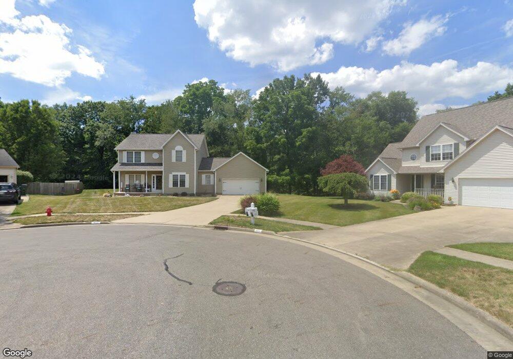
800 Crosswyck Cir Louisville, OH 44641
Estimated Value: $308,000 - $361,000
4
Beds
3
Baths
2,110
Sq Ft
$159/Sq Ft
Est. Value
About This Home
This home is located at 800 Crosswyck Cir, Louisville, OH 44641 and is currently estimated at $334,546, approximately $158 per square foot. 800 Crosswyck Cir is a home located in Stark County with nearby schools including Louisville High School and St. Thomas Aquinas High School & Middle School.
Ownership History
Date
Name
Owned For
Owner Type
Purchase Details
Closed on
May 24, 2000
Sold by
Lemmon & Lemmon Inc
Bought by
Mathie Brent K and Mathie Natalie R
Current Estimated Value
Home Financials for this Owner
Home Financials are based on the most recent Mortgage that was taken out on this home.
Original Mortgage
$151,000
Interest Rate
8.14%
Mortgage Type
Purchase Money Mortgage
Create a Home Valuation Report for This Property
The Home Valuation Report is an in-depth analysis detailing your home's value as well as a comparison with similar homes in the area
Home Values in the Area
Average Home Value in this Area
Purchase History
| Date | Buyer | Sale Price | Title Company |
|---|---|---|---|
| Mathie Brent K | $173,100 | -- | |
| Lemmon & Lemmon Inc | -- | -- |
Source: Public Records
Mortgage History
| Date | Status | Borrower | Loan Amount |
|---|---|---|---|
| Previous Owner | Mathie Brent K | $151,000 |
Source: Public Records
Tax History Compared to Growth
Tax History
| Year | Tax Paid | Tax Assessment Tax Assessment Total Assessment is a certain percentage of the fair market value that is determined by local assessors to be the total taxable value of land and additions on the property. | Land | Improvement |
|---|---|---|---|---|
| 2025 | -- | $110,250 | $35,630 | $74,620 |
| 2024 | -- | $110,250 | $35,630 | $74,620 |
| 2023 | $3,197 | $74,410 | $23,450 | $50,960 |
| 2022 | $3,204 | $74,410 | $23,450 | $50,960 |
| 2021 | $3,212 | $74,410 | $23,450 | $50,960 |
| 2020 | $2,653 | $66,750 | $21,140 | $45,610 |
| 2019 | $2,664 | $69,230 | $21,140 | $48,090 |
| 2018 | $2,752 | $69,230 | $21,140 | $48,090 |
| 2017 | $2,423 | $58,810 | $16,560 | $42,250 |
| 2016 | $2,473 | $58,810 | $16,560 | $42,250 |
| 2015 | $2,480 | $58,810 | $16,560 | $42,250 |
| 2014 | $413 | $53,200 | $14,980 | $38,220 |
| 2013 | $1,211 | $53,200 | $14,980 | $38,220 |
Source: Public Records
Map
Nearby Homes
- 910 Crosswyck Cir
- 1170 Winding Ridge Ave
- 316 E Reno Dr
- 428 Honeycrisp Dr NE
- 3047 Mcintosh Dr NE
- 432 Honeycrisp Dr NE
- 2962 Mcintosh Dr NE
- 2963 Mcintosh Dr NE
- 430 Honeycrisp Dr NE
- 2957 Mcintosh Dr NE
- 5474 Ravenna Ave
- 325 Lincoln Ave
- 0 Michigan Blvd
- 524 Glenbar St
- 300 Kennedy St
- 614 Reno Dr
- 0 Glenbar St
- 0 Brookridge Ave
- 308 Superior St
- 3580 Brookridge Ave Lot 15
- 806 Crosswyck Cir
- 805 Crosswyck Cir
- 814 Crosswyck Cir
- 811 Crosswyck Cir
- 819 Crosswyck Cir
- 902 Crosswyck Cir
- 1222 Falling Brook Cir
- 1223 Falling Brook Cir
- 905 Crosswyck Cir
- 824 E Reno Dr
- 812 E Reno Dr
- 802 E Reno Dr
- 722 E Reno Dr
- 714 E Reno Dr
- 1204 Falling Brook Cir
- 1205 Falling Brook Cir
- 704 E Reno Dr
- 916 Crosswyck Cir
- 917 Crosswyck Cir
- 1004 E Reno Dr