Estimated Value: $244,000 - $403,247
3
Beds
1
Bath
1,704
Sq Ft
$197/Sq Ft
Est. Value
About This Home
This home is located at 800 Stark Hwy, Stark, NH 03582 and is currently estimated at $335,562, approximately $196 per square foot. 800 Stark Hwy is a home located in Coos County.
Create a Home Valuation Report for This Property
The Home Valuation Report is an in-depth analysis detailing your home's value as well as a comparison with similar homes in the area
Home Values in the Area
Average Home Value in this Area
Tax History Compared to Growth
Tax History
| Year | Tax Paid | Tax Assessment Tax Assessment Total Assessment is a certain percentage of the fair market value that is determined by local assessors to be the total taxable value of land and additions on the property. | Land | Improvement |
|---|---|---|---|---|
| 2024 | $3,668 | $337,748 | $123,548 | $214,200 |
| 2023 | $3,068 | $148,076 | $48,376 | $99,700 |
| 2022 | $2,427 | $148,333 | $48,633 | $99,700 |
| 2021 | $2,955 | $148,343 | $48,643 | $99,700 |
| 2020 | $2,672 | $148,443 | $48,743 | $99,700 |
| 2019 | $2,682 | $148,410 | $48,710 | $99,700 |
| 2018 | $2,535 | $141,148 | $39,748 | $101,400 |
| 2017 | $2,566 | $141,040 | $39,640 | $101,400 |
| 2016 | $2,456 | $141,012 | $39,612 | $101,400 |
Source: Public Records
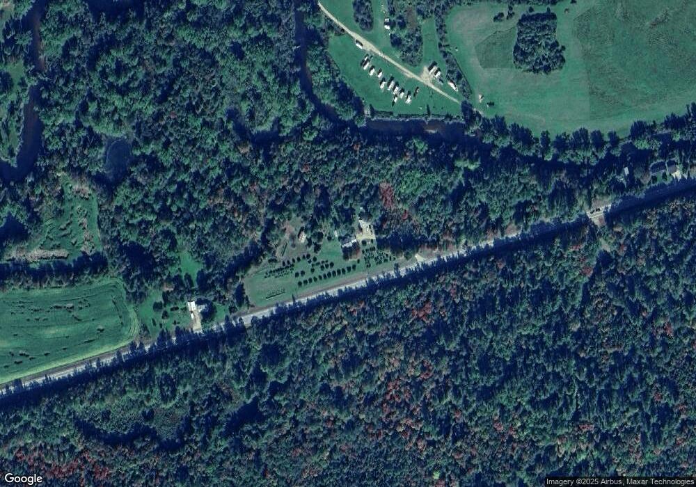
Map
Nearby Homes
- 338 Percy Rd
- 388 Percy Rd
- 112 Normand Rd
- 68 Short Rd
- 750 Percy Rd
- 53 Montgomery Rd
- 00 Bell Hill Rd
- 238 Northside Rd
- 00 Mountain View Rd
- 0 Mountain View Rd
- 25 Sullivan Rd
- 128 Old Route 110
- 1116 W Milan Rd
- 48 Spring Rd
- 1435 Lost Nation Rd
- 406 New Hampshire 110
- 1 Nay Pond Island
- 205 Overlook Rd
- 00 W Milan Rd
- 13 Hillside Ave
- 836 Stark Hwy
- 776 Stark Hwy Unit M411 L018
- 0 Meacham Rd Unit 4213038
- 0 Meacham Rd Unit 4940846
- 770 Stark Hwy
- 764 Stark Hwy
- 0000 Meacham Rd
- Lot 7 Percy Rd
- 337 Percy Rd
- 323 Percy Rd
- 326 Percy Rd
- 348 Percy Rd
- 364 Percy Rd
- 350 Percy Rd
- 376 Percy Rd
- 318 Percy Rd
- 304 Percy Rd
- 321 Summer Club Rd
- 706 Stark Hwy
- 966 Stark Hwy