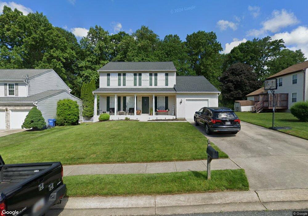
802 High Plain Dr Bel Air, MD 21014
Estimated Value: $484,000 - $556,000
--
Bed
3
Baths
1,958
Sq Ft
$263/Sq Ft
Est. Value
About This Home
This home is located at 802 High Plain Dr, Bel Air, MD 21014 and is currently estimated at $514,003, approximately $262 per square foot. 802 High Plain Dr is a home located in Harford County with nearby schools including Homestead-Wakefield Elementary School, Bel Air Middle School, and Bel Air High School.
Ownership History
Date
Name
Owned For
Owner Type
Purchase Details
Closed on
Jun 23, 2003
Sold by
Ward Kathleen S
Bought by
Gier Kathleen S Ward and Gier Vincent J
Current Estimated Value
Purchase Details
Closed on
Dec 5, 2001
Sold by
Ward Kathleen S
Bought by
Ward Kathleen S
Purchase Details
Closed on
Nov 1, 2001
Sold by
Barcelon James H
Bought by
Ward Kathleen S
Purchase Details
Closed on
May 14, 1997
Sold by
Security Management Corp
Bought by
Barcelon James H and Barcelon Carol A
Create a Home Valuation Report for This Property
The Home Valuation Report is an in-depth analysis detailing your home's value as well as a comparison with similar homes in the area
Home Values in the Area
Average Home Value in this Area
Purchase History
| Date | Buyer | Sale Price | Title Company |
|---|---|---|---|
| Gier Kathleen S Ward | -- | -- | |
| Ward Kathleen S | -- | -- | |
| Ward Kathleen S | $200,000 | -- | |
| Barcelon James H | $176,850 | -- |
Source: Public Records
Mortgage History
| Date | Status | Borrower | Loan Amount |
|---|---|---|---|
| Closed | Barcelon James H | -- |
Source: Public Records
Tax History Compared to Growth
Tax History
| Year | Tax Paid | Tax Assessment Tax Assessment Total Assessment is a certain percentage of the fair market value that is determined by local assessors to be the total taxable value of land and additions on the property. | Land | Improvement |
|---|---|---|---|---|
| 2025 | $4,066 | $397,600 | $93,400 | $304,200 |
| 2024 | $4,066 | $373,067 | $0 | $0 |
| 2023 | $3,799 | $348,533 | $0 | $0 |
| 2022 | $3,531 | $324,000 | $93,400 | $230,600 |
| 2021 | $3,560 | $316,267 | $0 | $0 |
| 2020 | $3,560 | $308,533 | $0 | $0 |
| 2019 | $3,471 | $300,800 | $112,100 | $188,700 |
| 2018 | $3,401 | $297,433 | $0 | $0 |
| 2017 | $3,363 | $300,800 | $0 | $0 |
| 2016 | $140 | $290,700 | $0 | $0 |
| 2015 | $3,334 | $286,900 | $0 | $0 |
| 2014 | $3,334 | $283,100 | $0 | $0 |
Source: Public Records
Map
Nearby Homes
- 1055 Sansa Ct
- 638 Iron Gate Rd
- 804 Grady Ct
- 726 Iron Gate Rd
- 600 Harvest Ct
- 515 W Ring Factory Rd
- 412 Viola Ct N
- 608 Squire Ln Unit B
- 606 Squire Ln Unit 606-A
- 601 Thames Way Unit E
- 0 Winter Park Rd
- 600 Squire Ln Unit 2J
- 632 Camelot Dr
- 298 Canterbury Rd Unit 298-D
- 204 Chaucer Ln Unit D
- 204 Chaucer Ln Unit O
- 603 Bishop Ln
- 304 Canterbury Rd Unit K
- 292 Canterbury Rd Unit N
- 1504 Houndslow Ct
- 804 High Plain Dr
- 612 Deep Ridge Rd
- 806 High Plain Dr
- 610 Deep Ridge Rd
- 803 High Plain Dr
- 801 High Plain Dr
- 808 High Plain Dr
- 805 High Plain Dr
- 608 Deep Ridge Rd
- 807 High Plain Dr
- 744 High Plain Dr
- 810 High Plain Dr
- 702 Deep Ridge Rd
- 709 Ponderosa Dr
- 809 High Plain Dr
- 621 Southwarke Rd
- 606 Deep Ridge Rd
- 739 High Plain Dr
- 806 Litchfield Cir
- 742 High Plain Dr