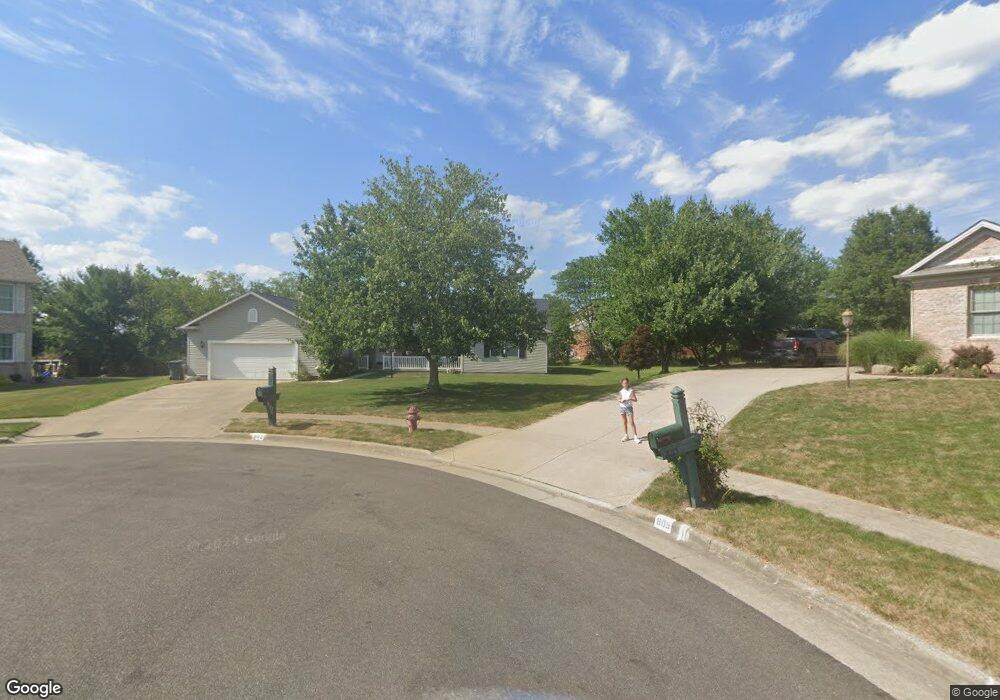
802 Sand Lot Cir Louisville, OH 44641
Estimated Value: $317,547 - $370,000
3
Beds
2
Baths
2,041
Sq Ft
$167/Sq Ft
Est. Value
About This Home
This home is located at 802 Sand Lot Cir, Louisville, OH 44641 and is currently estimated at $339,887, approximately $166 per square foot. 802 Sand Lot Cir is a home located in Stark County with nearby schools including Louisville High School and St. Thomas Aquinas High School & Middle School.
Ownership History
Date
Name
Owned For
Owner Type
Purchase Details
Closed on
Jan 10, 2017
Bought by
Ronda Lynn Plaskett
Current Estimated Value
Purchase Details
Closed on
Mar 17, 2004
Sold by
Hoover Paul Robert
Bought by
Plaskett Douglas Grant and Plaskett Ronda Lynn
Home Financials for this Owner
Home Financials are based on the most recent Mortgage that was taken out on this home.
Original Mortgage
$138,250
Interest Rate
5.78%
Mortgage Type
Purchase Money Mortgage
Purchase Details
Closed on
Jul 11, 2000
Sold by
Chelcon Development Corp
Bought by
Hoover Paul Robert and Hoover Rita Mae
Create a Home Valuation Report for This Property
The Home Valuation Report is an in-depth analysis detailing your home's value as well as a comparison with similar homes in the area
Home Values in the Area
Average Home Value in this Area
Purchase History
| Date | Buyer | Sale Price | Title Company |
|---|---|---|---|
| Ronda Lynn Plaskett | -- | -- | |
| Plaskett Douglas Grant | $197,000 | -- | |
| Hoover Paul Robert | $38,500 | -- |
Source: Public Records
Mortgage History
| Date | Status | Borrower | Loan Amount |
|---|---|---|---|
| Previous Owner | Plaskett Douglas Grant | $138,250 |
Source: Public Records
Tax History Compared to Growth
Tax History
| Year | Tax Paid | Tax Assessment Tax Assessment Total Assessment is a certain percentage of the fair market value that is determined by local assessors to be the total taxable value of land and additions on the property. | Land | Improvement |
|---|---|---|---|---|
| 2025 | -- | $104,340 | $22,300 | $82,040 |
| 2024 | -- | $104,340 | $22,300 | $82,040 |
| 2023 | $3,421 | $79,630 | $22,120 | $57,510 |
| 2022 | $3,428 | $79,630 | $22,120 | $57,510 |
| 2021 | $3,437 | $79,630 | $22,120 | $57,510 |
| 2020 | $2,785 | $70,080 | $19,920 | $50,160 |
| 2019 | $2,797 | $70,250 | $17,260 | $52,990 |
| 2018 | $2,793 | $70,250 | $17,260 | $52,990 |
| 2017 | $2,696 | $65,450 | $14,070 | $51,380 |
| 2016 | $2,752 | $65,450 | $14,070 | $51,380 |
| 2015 | $1,380 | $65,450 | $14,070 | $51,380 |
| 2014 | $563 | $56,500 | $12,150 | $44,350 |
| 2013 | $1,285 | $56,500 | $12,150 | $44,350 |
Source: Public Records
Map
Nearby Homes
- 908 Sand Lot Cir
- 1702 View Pointe Ave
- 641 S Nickelplate St
- 520 S Silver St
- 1639 Horizon Dr
- 728 E Broad St
- 1715 High St
- 510 S Bauman Ct
- 308 Superior St
- 204 E Broad St
- 2110 Edmar St
- 8225 Georgetown St
- 107 E Broad St
- 1812 E Broad St
- 3390 Meese Rd NE
- 0 Michigan Blvd
- 325 Lincoln Ave
- 2015 E Main St
- 2425 Miday Ave NE
- 6969 Georgetown St NE
- 806 Sand Lot Cir
- 805 Sand Lot Cir
- 812 Sand Lot Cir
- 811 Sand Lot Cir
- 805 Park Village Dr
- 811 Park Village Dr
- 818 Sand Lot Cir
- 817 Sand Lot Cir
- 802 Park Village Dr
- 1525 S Nickelplate St
- 817 Park Village Dr
- 822 Sand Lot Cir
- 823 Sand Lot Cir
- 823 Sand Lot Cir Unit CIR
- 1535 S Nickelplate St
- 806 Park Village Dr
- 823 Park Village Dr
- 812 Park Village Dr
- 1541 S Nickelplate St
- 818 Park Village Dr