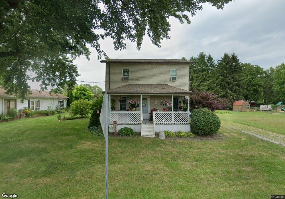
8021 Lock Rd Centerburg, OH 43011
Estimated Value: $153,876 - $254,000
3
Beds
1
Bath
1,100
Sq Ft
$200/Sq Ft
Est. Value
About This Home
This home is located at 8021 Lock Rd, Centerburg, OH 43011 and is currently estimated at $219,469, approximately $199 per square foot. 8021 Lock Rd is a home located in Knox County with nearby schools including Centerburg Elementary School and Centerburg High School.
Ownership History
Date
Name
Owned For
Owner Type
Purchase Details
Closed on
Jan 22, 2004
Sold by
Hudkins Richard A and Hudkins Tonya
Bought by
Noland Bruce E and Hardy An
Current Estimated Value
Purchase Details
Closed on
Oct 30, 2000
Sold by
Lesieur Norman C and Lesieur Joelle
Bought by
Hudkins Richard A and Hudkins Tonya
Purchase Details
Closed on
Aug 26, 1998
Sold by
Wheeler Donald Edward and Wheeler D
Bought by
Lesieur Norman C and Lesieur Joelle
Purchase Details
Closed on
Jun 7, 1994
Sold by
Rowley Bobby Gale and Rowley Mary
Bought by
Wheeler Donald Edward and Wheeler D
Create a Home Valuation Report for This Property
The Home Valuation Report is an in-depth analysis detailing your home's value as well as a comparison with similar homes in the area
Home Values in the Area
Average Home Value in this Area
Purchase History
| Date | Buyer | Sale Price | Title Company |
|---|---|---|---|
| Noland Bruce E | $99,000 | -- | |
| Hudkins Richard A | $79,900 | -- | |
| Lesieur Norman C | $58,500 | -- | |
| Wheeler Donald Edward | $12,800 | -- |
Source: Public Records
Tax History Compared to Growth
Tax History
| Year | Tax Paid | Tax Assessment Tax Assessment Total Assessment is a certain percentage of the fair market value that is determined by local assessors to be the total taxable value of land and additions on the property. | Land | Improvement |
|---|---|---|---|---|
| 2024 | $943 | $23,460 | $4,230 | $19,230 |
| 2023 | $943 | $23,460 | $4,230 | $19,230 |
| 2022 | $839 | $17,910 | $3,230 | $14,680 |
| 2021 | $839 | $17,910 | $3,230 | $14,680 |
| 2020 | $766 | $17,910 | $3,230 | $14,680 |
| 2019 | $1,093 | $23,650 | $4,980 | $18,670 |
| 2018 | $1,096 | $23,650 | $4,980 | $18,670 |
| 2017 | $1,004 | $23,650 | $4,980 | $18,670 |
| 2016 | $922 | $21,900 | $4,610 | $17,290 |
| 2015 | $881 | $21,900 | $4,610 | $17,290 |
| 2014 | $880 | $21,900 | $4,610 | $17,290 |
| 2013 | $970 | $22,860 | $4,330 | $18,530 |
Source: Public Records
Map
Nearby Homes
- 0 Larimore Rd
- 001 Marion Rd NW
- 3959 Johnstown Rd
- 9470 Butcher Rd
- 7020 Bennington Chapel Rd
- 9730 Butcher Rd
- 4804 Marion Rd NW
- 0 Johnstown Rd Unit Sec 13, Tract 5
- 0 Johnstown Rd Unit 20250514
- 0 Johnstown Rd Unit 225026692
- 5679 White Rd
- 13303 Douglas Lane Rd
- 8263 Bennington Chapel Rd
- 8301 Bennington Chapel Rd
- 4682 Webster Rd
- 9240 Sycamore Rd
- 0 Krause Rd Unit 225038328
- 9426 Bennington Chapel Rd
- 0 van Fossen Rd Unit Tract B 225012998
- 0 van Fossen Rd Unit Tract E 225013000