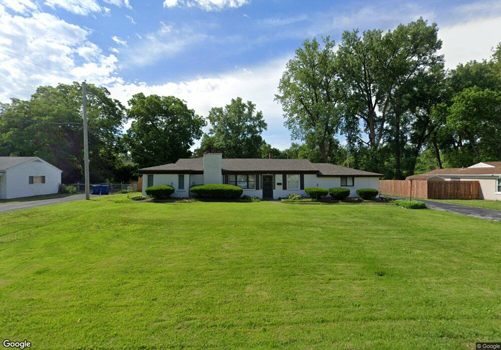
8026 Packard Ave Saint Louis, MO 63134
Estimated Value: $89,000 - $162,000
3
Beds
1
Bath
2,332
Sq Ft
$58/Sq Ft
Est. Value
About This Home
This home is located at 8026 Packard Ave, Saint Louis, MO 63134 and is currently estimated at $135,897, approximately $58 per square foot. 8026 Packard Ave is a home located in St. Louis County with nearby schools including Ferguson Middle School, Johnson Wabash Elementary School, and McCluer High School.
Ownership History
Date
Name
Owned For
Owner Type
Purchase Details
Closed on
Dec 30, 2013
Sold by
Merello Dennis G and Merello Mary
Bought by
Pointer Phitis T and Pointer Katherine
Current Estimated Value
Home Financials for this Owner
Home Financials are based on the most recent Mortgage that was taken out on this home.
Original Mortgage
$58,913
Outstanding Balance
$45,154
Interest Rate
4.87%
Mortgage Type
FHA
Estimated Equity
$90,743
Create a Home Valuation Report for This Property
The Home Valuation Report is an in-depth analysis detailing your home's value as well as a comparison with similar homes in the area
Home Values in the Area
Average Home Value in this Area
Purchase History
| Date | Buyer | Sale Price | Title Company |
|---|---|---|---|
| Pointer Phitis T | $60,000 | Investors Title Co Clayton |
Source: Public Records
Mortgage History
| Date | Status | Borrower | Loan Amount |
|---|---|---|---|
| Open | Pointer Phitis T | $58,913 |
Source: Public Records
Tax History Compared to Growth
Tax History
| Year | Tax Paid | Tax Assessment Tax Assessment Total Assessment is a certain percentage of the fair market value that is determined by local assessors to be the total taxable value of land and additions on the property. | Land | Improvement |
|---|---|---|---|---|
| 2025 | $1,672 | $26,010 | $2,680 | $23,330 |
| 2024 | $1,672 | $21,890 | $2,130 | $19,760 |
| 2023 | $1,652 | $21,890 | $2,130 | $19,760 |
| 2022 | $1,782 | $20,660 | $1,600 | $19,060 |
| 2021 | $1,770 | $20,660 | $1,600 | $19,060 |
| 2020 | $1,438 | $15,590 | $2,380 | $13,210 |
| 2019 | $1,378 | $15,590 | $2,380 | $13,210 |
| 2018 | $1,516 | $15,510 | $2,300 | $13,210 |
| 2017 | $1,506 | $15,510 | $2,300 | $13,210 |
| 2016 | $1,122 | $11,060 | $2,680 | $8,380 |
| 2015 | $1,089 | $11,060 | $2,680 | $8,380 |
| 2014 | $928 | $9,360 | $2,960 | $6,400 |
Source: Public Records
Map
Nearby Homes
- 8027 Aline Ave
- 8219 Davenport Dr
- 324 Newell Dr
- 8140 Packard Ave
- 8042 Patterson Dr
- 6612 Torlina Dr
- 213 Henquin Dr
- 6605 Carol Lee Dr
- 6717 Thurston Ave
- 117 Henquin Dr
- 806 Rolwes Ave
- 6130 Wulff Dr
- 8306 Whitewater Dr
- 614 January Ave
- 116 Henquin Dr
- 222 Wooster Dr
- 6016 Shillington Dr
- 6315 Washington Ave
- 218 N Marguerite Ave
- 439 Warford Ave
- 8018 Packard Ave
- 8034 Packard Ave
- 8035 Plymouth Ct
- 8010 Packard Ave
- 8017 Packard Ave
- 8021 Plymouth Ct
- 8018 January Ave
- 8031 Packard Ave
- 8000 Packard Ave
- 8050 Packard Ave
- 8034 January Ave
- 8011 Plymouth Ct
- 8041 Packard Ave
- 8046 January Ave
- 435 Thurston Ave
- 8058 Packard Ave
- 8016 Plymouth Ct
- 8000 January Ave
- 439 Thurston Ave
- 431 Thurston Ave