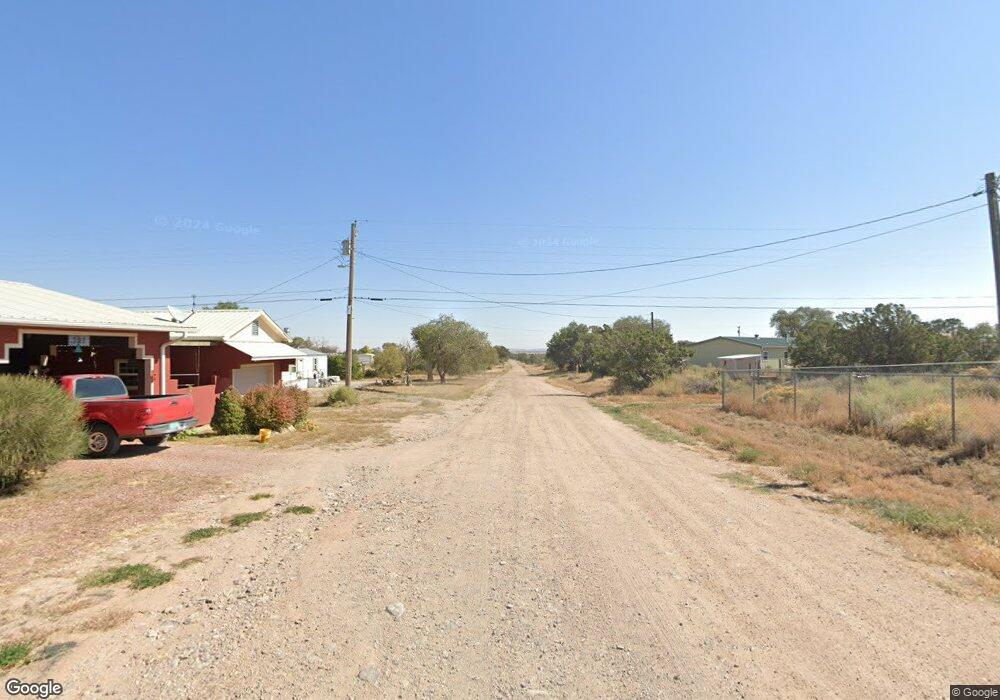
803 W Acoma St W Mountainair, NM 87036
Estimated Value: $153,025 - $261,000
--
Bed
--
Bath
--
Sq Ft
0.41
Acres
About This Home
This home is located at 803 W Acoma St W, Mountainair, NM 87036 and is currently estimated at $206,675. 803 W Acoma St W is a home with nearby schools including Mountainair Elementary School and Mountainair High School.
Ownership History
Date
Name
Owned For
Owner Type
Purchase Details
Closed on
Aug 4, 2023
Sold by
Vonkutzleben Edward T
Bought by
Nelson Phillip D and Nelson Betty J
Current Estimated Value
Home Financials for this Owner
Home Financials are based on the most recent Mortgage that was taken out on this home.
Original Mortgage
$37,490
Outstanding Balance
$36,620
Interest Rate
6.71%
Mortgage Type
New Conventional
Estimated Equity
$170,055
Purchase Details
Closed on
Jun 15, 2021
Sold by
Kutzleben Mark S Von and Kutzleben Mary C
Bought by
Kutzleben Edward T Von
Create a Home Valuation Report for This Property
The Home Valuation Report is an in-depth analysis detailing your home's value as well as a comparison with similar homes in the area
Home Values in the Area
Average Home Value in this Area
Purchase History
| Date | Buyer | Sale Price | Title Company |
|---|---|---|---|
| Nelson Phillip D | -- | None Listed On Document | |
| Nelson Phillip D | -- | None Listed On Document | |
| Kutzleben Edward T Von | -- | None Available |
Source: Public Records
Mortgage History
| Date | Status | Borrower | Loan Amount |
|---|---|---|---|
| Open | Nelson Phillip D | $37,490 | |
| Closed | Nelson Phillip D | $37,490 |
Source: Public Records
Tax History Compared to Growth
Tax History
| Year | Tax Paid | Tax Assessment Tax Assessment Total Assessment is a certain percentage of the fair market value that is determined by local assessors to be the total taxable value of land and additions on the property. | Land | Improvement |
|---|---|---|---|---|
| 2024 | $817 | $33,816 | $6,720 | $27,096 |
| 2023 | $258 | $10,661 | $1,691 | $8,970 |
| 2022 | $252 | $10,351 | $1,642 | $8,709 |
| 2021 | $267 | $10,049 | $1,594 | $8,455 |
| 2020 | $265 | $10,039 | $1,592 | $8,447 |
| 2019 | $268 | $9,904 | $1,449 | $8,455 |
| 2018 | $264 | $9,895 | $1,448 | $8,447 |
| 2017 | $255 | $9,903 | $0 | $0 |
| 2016 | $274 | $0 | $0 | $0 |
| 2015 | -- | $0 | $0 | $0 |
| 2014 | -- | $10,228 | $1,364 | $8,863 |
Source: Public Records
Map
Nearby Homes
- 409 N Limit Ave
- 111 S Cedardale Ave
- 204 S Limit Ave
- 906 W 3rd St
- 0 Highway 60
- 0 Broadway
- 300 N Roosevelt Ave
- 733 Jumano Trail
- 104 3rd St
- 502 Roosevelt Ave
- 6284 New Mexico 55
- 0 7th St
- 501 E Fourth St
- 306 Mckinley Ave
- 3 Monte Alto Ave
- 171 Red Bluff Rd
- 0 Trapezoid Unit 24343297
- 0 Holland Rd
- 252 Keres
- 1957 Deer Canyon Trail
- 503 Orme Ave
- 0 Orme Ave
- 306 Orme Ave
- 308 Orme Ave
- 211 N Limit Ave
- 306 N Orme Ave
- 303 N Limit Ave
- 207 Limit Ave N
- 800 Pinon St W
- 809 W Beal St W
- 707 W Acoma St W
- 201 Limit Ave S
- 304 Hanlon Ave N
- 405 N Limit Ave N
- 306 Harlon Ave N
- 202 N Limit Ave
- 0 Ranger Station Rd
- 707 W Beal St
- 309 S Cedardale Ave N
- 806 W Beal St W
