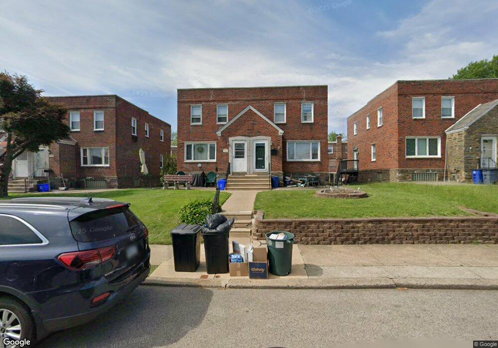
804 Disston St Philadelphia, PA 19111
Castor Gardens NeighborhoodEstimated Value: $269,000 - $321,000
--
Bed
2
Baths
1,296
Sq Ft
$225/Sq Ft
Est. Value
About This Home
This home is located at 804 Disston St, Philadelphia, PA 19111 and is currently estimated at $291,490, approximately $224 per square foot. 804 Disston St is a home with nearby schools including J. Hampton Moore School, Castor Gardens Middle School, and Northeast High School.
Ownership History
Date
Name
Owned For
Owner Type
Purchase Details
Closed on
Nov 16, 2017
Sold by
Gormley Michael F
Bought by
Leva Andrea M
Current Estimated Value
Home Financials for this Owner
Home Financials are based on the most recent Mortgage that was taken out on this home.
Original Mortgage
$171,000
Outstanding Balance
$143,403
Interest Rate
3.88%
Mortgage Type
New Conventional
Estimated Equity
$148,087
Purchase Details
Closed on
Apr 21, 1993
Bought by
Gormley Michael F
Create a Home Valuation Report for This Property
The Home Valuation Report is an in-depth analysis detailing your home's value as well as a comparison with similar homes in the area
Home Values in the Area
Average Home Value in this Area
Purchase History
| Date | Buyer | Sale Price | Title Company |
|---|---|---|---|
| Leva Andrea M | $180,000 | None Available | |
| Gormley Michael F | -- | -- |
Source: Public Records
Mortgage History
| Date | Status | Borrower | Loan Amount |
|---|---|---|---|
| Open | Leva Andrea M | $171,000 |
Source: Public Records
Tax History Compared to Growth
Tax History
| Year | Tax Paid | Tax Assessment Tax Assessment Total Assessment is a certain percentage of the fair market value that is determined by local assessors to be the total taxable value of land and additions on the property. | Land | Improvement |
|---|---|---|---|---|
| 2025 | $3,236 | $278,000 | $55,600 | $222,400 |
| 2024 | $3,236 | $278,000 | $55,600 | $222,400 |
| 2023 | $3,236 | $231,200 | $46,240 | $184,960 |
| 2022 | $1,718 | $186,200 | $46,240 | $139,960 |
| 2021 | $2,347 | $0 | $0 | $0 |
| 2020 | $2,347 | $0 | $0 | $0 |
| 2019 | $2,252 | $0 | $0 | $0 |
| 2018 | $1,772 | $0 | $0 | $0 |
| 2017 | $2,192 | $0 | $0 | $0 |
| 2016 | $1,772 | $0 | $0 | $0 |
| 2015 | $1,696 | $0 | $0 | $0 |
| 2014 | -- | $156,600 | $36,679 | $119,921 |
| 2012 | -- | $20,672 | $3,749 | $16,923 |
Source: Public Records
Map
Nearby Homes
- 811 Knorr St
- 832 Knorr St
- 627 Knorr St
- 720 Kerper St
- 7020 Oxford Ave
- 7146-50 Montour St
- 7137 Lawndale Ave
- 6607 Claridge St
- 524 Longshore Ave
- 1055 Tyson Ave
- 629 Fanshawe St
- 1012 Saint Vincent St
- 6517 Montour St
- 1114 Brighton St
- 6504 Oxford Ave
- 542-48 Magee Ave
- 1116 Friendship St
- 1133 Knorr St
- 412 Tyson Ave
- 1103 Fanshawe St
- 806 Disston St
- 808 Disston St
- 810 Disston St
- 802 Disston St
- 800 Disston St
- 812 Disston St
- 807 Longshore Ave
- 805 Longshore Ave
- 814 Disston St
- 809 Longshore Ave
- 811 Longshore Ave
- 801 Longshore Ave
- 813 Longshore Ave
- 816 Disston St
- 807 Disston St
- 809 Disston St
- 805 Disston St
- 818 Disston St
- 811 Disston St
- 815 Longshore Ave