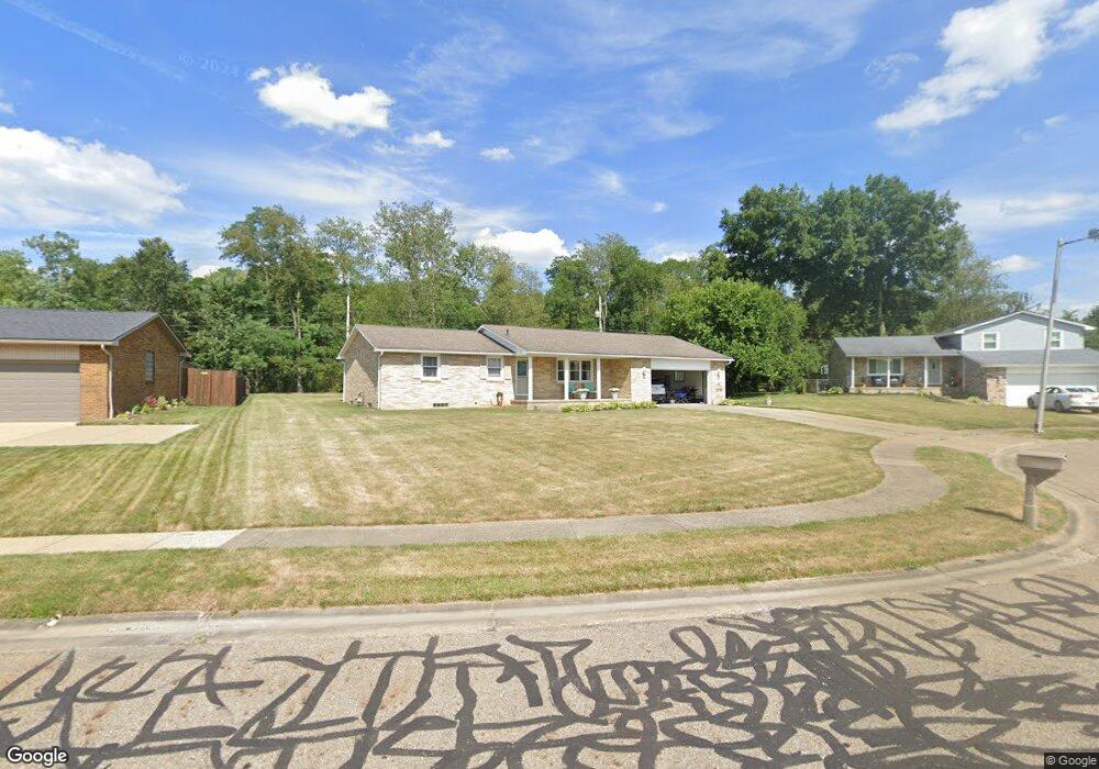
805 Taff Cir Louisville, OH 44641
Estimated Value: $198,000 - $228,000
3
Beds
1
Bath
1,144
Sq Ft
$189/Sq Ft
Est. Value
About This Home
This home is located at 805 Taff Cir, Louisville, OH 44641 and is currently estimated at $215,734, approximately $188 per square foot. 805 Taff Cir is a home located in Stark County with nearby schools including Louisville High School and St. Thomas Aquinas High School & Middle School.
Ownership History
Date
Name
Owned For
Owner Type
Purchase Details
Closed on
Jul 11, 2003
Sold by
Carroll Jennifer M
Bought by
Peatross John M and Peatross Valerie A
Current Estimated Value
Home Financials for this Owner
Home Financials are based on the most recent Mortgage that was taken out on this home.
Original Mortgage
$103,100
Interest Rate
5.36%
Mortgage Type
Purchase Money Mortgage
Purchase Details
Closed on
Jun 30, 1993
Create a Home Valuation Report for This Property
The Home Valuation Report is an in-depth analysis detailing your home's value as well as a comparison with similar homes in the area
Home Values in the Area
Average Home Value in this Area
Purchase History
| Date | Buyer | Sale Price | Title Company |
|---|---|---|---|
| Peatross John M | $105,000 | -- | |
| -- | -- | -- |
Source: Public Records
Mortgage History
| Date | Status | Borrower | Loan Amount |
|---|---|---|---|
| Previous Owner | Peatross John M | $103,100 |
Source: Public Records
Tax History Compared to Growth
Tax History
| Year | Tax Paid | Tax Assessment Tax Assessment Total Assessment is a certain percentage of the fair market value that is determined by local assessors to be the total taxable value of land and additions on the property. | Land | Improvement |
|---|---|---|---|---|
| 2025 | -- | $60,560 | $19,360 | $41,200 |
| 2024 | -- | $60,560 | $19,360 | $41,200 |
| 2023 | $2,228 | $51,840 | $19,220 | $32,620 |
| 2022 | $2,234 | $51,840 | $19,220 | $32,620 |
| 2021 | $2,240 | $51,840 | $19,220 | $32,620 |
| 2020 | $1,841 | $46,270 | $17,290 | $28,980 |
| 2019 | $1,849 | $45,890 | $18,690 | $27,200 |
| 2018 | $1,827 | $45,890 | $18,690 | $27,200 |
| 2017 | $1,677 | $40,640 | $15,260 | $25,380 |
| 2016 | $1,711 | $40,640 | $15,260 | $25,380 |
| 2015 | $1,716 | $40,640 | $15,260 | $25,380 |
| 2014 | $1,593 | $35,070 | $13,160 | $21,910 |
| 2013 | $800 | $35,070 | $13,160 | $21,910 |
Source: Public Records
Map
Nearby Homes
- 908 Sand Lot Cir
- 1702 View Pointe Ave
- 1639 Horizon Dr
- 641 S Nickelplate St
- 520 S Silver St
- 728 E Broad St
- 510 S Bauman Ct
- 204 E Broad St
- 107 E Broad St
- 308 Superior St
- 8225 Georgetown St
- 1715 High St
- 2110 Edmar St
- 1812 E Broad St
- 3390 Meese Rd NE
- 325 Lincoln Ave
- 0 Michigan Blvd
- 6969 Georgetown St NE
- 2425 Miday Ave NE
- 201 Indiana Ave