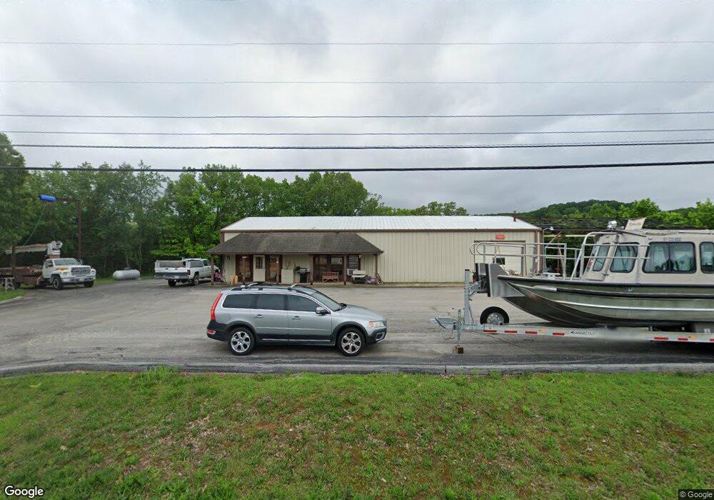
8078 W State Highway 76 Cape Fair, MO 65624
Estimated Value: $324,000 - $507,000
1
Bed
1
Bath
3,200
Sq Ft
$126/Sq Ft
Est. Value
About This Home
This home is located at 8078 W State Highway 76, Cape Fair, MO 65624 and is currently estimated at $402,701, approximately $125 per square foot. 8078 W State Highway 76 is a home located in Stone County with nearby schools including Reeds Spring Primary School, Reeds Spring Elementary School, and Reeds Spring Intermediate School.
Ownership History
Date
Name
Owned For
Owner Type
Purchase Details
Closed on
Apr 26, 2023
Sold by
Cape Fair Estates Llc
Bought by
Cape Fair Estates Water Association Inc
Current Estimated Value
Purchase Details
Closed on
Apr 23, 2021
Sold by
Marzano Bernard J and Marzano Joan M
Bought by
Davis Charles
Home Financials for this Owner
Home Financials are based on the most recent Mortgage that was taken out on this home.
Original Mortgage
$60,000
Interest Rate
3.05%
Mortgage Type
Purchase Money Mortgage
Create a Home Valuation Report for This Property
The Home Valuation Report is an in-depth analysis detailing your home's value as well as a comparison with similar homes in the area
Home Values in the Area
Average Home Value in this Area
Purchase History
| Date | Buyer | Sale Price | Title Company |
|---|---|---|---|
| Cape Fair Estates Water Association Inc | -- | None Listed On Document | |
| Davis Charles | -- | None Available |
Source: Public Records
Mortgage History
| Date | Status | Borrower | Loan Amount |
|---|---|---|---|
| Previous Owner | Davis Charles | $60,000 |
Source: Public Records
Tax History Compared to Growth
Tax History
| Year | Tax Paid | Tax Assessment Tax Assessment Total Assessment is a certain percentage of the fair market value that is determined by local assessors to be the total taxable value of land and additions on the property. | Land | Improvement |
|---|---|---|---|---|
| 2024 | $1,298 | $30,270 | -- | -- |
| 2023 | $1,298 | $26,540 | $0 | $0 |
| 2022 | $1,291 | $26,540 | $0 | $0 |
| 2021 | $1,307 | $26,540 | $0 | $0 |
| 2020 | $1,130 | $23,650 | $0 | $0 |
| 2019 | $1,124 | $23,650 | $0 | $0 |
| 2018 | $972 | $23,650 | $0 | $0 |
| 2017 | $944 | $19,870 | $0 | $0 |
| 2016 | $921 | $19,870 | $0 | $0 |
| 2015 | $922 | $19,870 | $0 | $0 |
| 2014 | $1,553 | $34,180 | $0 | $0 |
| 2012 | $1,556 | $34,150 | $0 | $0 |
Source: Public Records
Map
Nearby Homes
- 70 Spirit Ln
- 534 Meltons Peninsula Rd
- 499 Roan Rd
- 65 Roan Rd
- 8551 W State Highway 76
- 45 Lakeside Dr
- 262 Grand Slam Ave
- 615 Fairsight Rd
- 101 South St
- 55 Sea Gull Ln
- 166 Seaman St
- 21 Myrtle St
- 764 Fairsight Rd
- 64 Daybreak Ln
- 170 Sundance Rd
- Lot 87 S Shining Mountain Dr
- 292 Golfers Ln
- 26-27 Hanging Branch Rd (Lots 26&27)
- 226 Hunt Club Cir
- Lot 9 Country Music Ln
- 7 Fairsight Rd
- 12 Fairsight Rd
- Lot 9 Fairsight 76-80
- 10 Fairsight Rd
- 8 Fairsight Rd
- 6 Fairsight Rd
- 8089 W State Highway 76
- 8041 W State Highway 76
- 65 Fairsight Rd
- 69 Fairsight Rd
- 8089 State Highway 76
- 8044 W State Highway 76
- 0 Ringberg Dr Unit 60116870
- 0 Ringberg Dr
- 8059 State Highway 76
- 35 Kingdom St
- 61 Ringberg Dr
- 61 Ringberg Dr
- 54 Point Fair Rd
- 74 Foster Rd