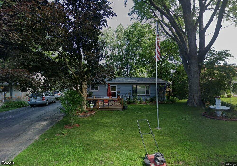
808 Gary St Madison, WI 53716
Lake Edge NeighborhoodEstimated Value: $324,000 - $345,660
3
Beds
1
Bath
1,273
Sq Ft
$261/Sq Ft
Est. Value
About This Home
This home is located at 808 Gary St, Madison, WI 53716 and is currently estimated at $331,915, approximately $260 per square foot. 808 Gary St is a home located in Dane County with nearby schools including Sennett Middle School, La Follette High School, and Nuestro Mundo.
Ownership History
Date
Name
Owned For
Owner Type
Purchase Details
Closed on
Aug 18, 2022
Sold by
Berry Philip C
Bought by
Philip C Berry Revocable Living Trust
Current Estimated Value
Purchase Details
Closed on
Feb 18, 2014
Sold by
Shorey Robert T
Bought by
Berry Philip C and Shorey Robert T
Home Financials for this Owner
Home Financials are based on the most recent Mortgage that was taken out on this home.
Original Mortgage
$78,500
Interest Rate
4.5%
Mortgage Type
Adjustable Rate Mortgage/ARM
Create a Home Valuation Report for This Property
The Home Valuation Report is an in-depth analysis detailing your home's value as well as a comparison with similar homes in the area
Home Values in the Area
Average Home Value in this Area
Purchase History
| Date | Buyer | Sale Price | Title Company |
|---|---|---|---|
| Philip C Berry Revocable Living Trust | -- | None Listed On Document | |
| Berry Philip C | $118,500 | Knight Barry Title Svcs Llc |
Source: Public Records
Mortgage History
| Date | Status | Borrower | Loan Amount |
|---|---|---|---|
| Previous Owner | Berry Philip C | $78,500 |
Source: Public Records
Tax History Compared to Growth
Tax History
| Year | Tax Paid | Tax Assessment Tax Assessment Total Assessment is a certain percentage of the fair market value that is determined by local assessors to be the total taxable value of land and additions on the property. | Land | Improvement |
|---|---|---|---|---|
| 2024 | $12,197 | $297,500 | $91,400 | $206,100 |
| 2023 | $5,258 | $285,000 | $87,500 | $197,500 |
| 2021 | $3,978 | $203,100 | $71,100 | $132,000 |
| 2020 | $4,663 | $191,600 | $67,100 | $124,500 |
| 2019 | $4,226 | $180,800 | $63,300 | $117,500 |
| 2018 | $3,994 | $180,800 | $29,800 | $151,000 |
| 2017 | $3,588 | $157,200 | $29,800 | $127,400 |
| 2016 | $3,509 | $149,700 | $28,400 | $121,300 |
| 2015 | $3,476 | $146,800 | $26,800 | $120,000 |
| 2014 | $3,479 | $146,800 | $26,800 | $120,000 |
| 2013 | $3,409 | $146,800 | $26,800 | $120,000 |
Source: Public Records
Map
Nearby Homes
- 4210 Dempsey Rd
- 506 Bowman Ave
- 4302 Drexel Ave
- 4310 Hegg Ave
- 839 Silas St
- 835 Silas St
- 4515 Martha Ln
- 4525 Martha Ln
- 3822 Johns St
- 3818 Johns St
- 3910 Tulane Ave
- 1618 Angel Crest Way
- 402 W Lakeview Ave
- 1907-1909 Dondee Rd
- 125 Silver Rd
- 239 Tyler Cir
- 4603 Gordon Ave
- 4233 Portland Pkwy
- 4705 Agate Ln
- 4410 Winnequah Rd