81 Mine Bank Rd Wellsville, PA 17365
Warrington Township NeighborhoodEstimated Value: $294,000 - $299,674
3
Beds
2
Baths
1,616
Sq Ft
$184/Sq Ft
Est. Value
About This Home
This home is located at 81 Mine Bank Rd, Wellsville, PA 17365 and is currently estimated at $296,669, approximately $183 per square foot. 81 Mine Bank Rd is a home located in York County with nearby schools including Northern Middle School and Northern High School.
Ownership History
Date
Name
Owned For
Owner Type
Purchase Details
Closed on
Jan 6, 2006
Sold by
Freed Charles and Freed Ruth J
Bought by
Mulwane Charles A and Mulwane Pamela M
Current Estimated Value
Home Financials for this Owner
Home Financials are based on the most recent Mortgage that was taken out on this home.
Original Mortgage
$102,800
Outstanding Balance
$57,816
Interest Rate
6.28%
Mortgage Type
Purchase Money Mortgage
Estimated Equity
$238,853
Create a Home Valuation Report for This Property
The Home Valuation Report is an in-depth analysis detailing your home's value as well as a comparison with similar homes in the area
Home Values in the Area
Average Home Value in this Area
Purchase History
| Date | Buyer | Sale Price | Title Company |
|---|---|---|---|
| Mulwane Charles A | $128,500 | First American Title Ins Co |
Source: Public Records
Mortgage History
| Date | Status | Borrower | Loan Amount |
|---|---|---|---|
| Open | Mulwane Charles A | $102,800 |
Source: Public Records
Tax History Compared to Growth
Tax History
| Year | Tax Paid | Tax Assessment Tax Assessment Total Assessment is a certain percentage of the fair market value that is determined by local assessors to be the total taxable value of land and additions on the property. | Land | Improvement |
|---|---|---|---|---|
| 2025 | $3,408 | $125,090 | $40,840 | $84,250 |
| 2024 | $3,371 | $125,090 | $40,840 | $84,250 |
| 2023 | $3,303 | $125,090 | $40,840 | $84,250 |
| 2022 | $3,233 | $125,090 | $40,840 | $84,250 |
| 2021 | $3,022 | $125,090 | $40,840 | $84,250 |
| 2020 | $2,950 | $125,090 | $40,840 | $84,250 |
| 2019 | $2,876 | $125,090 | $40,840 | $84,250 |
| 2018 | $2,814 | $125,090 | $40,840 | $84,250 |
| 2017 | $2,814 | $125,090 | $40,840 | $84,250 |
| 2016 | $0 | $125,090 | $40,840 | $84,250 |
| 2015 | -- | $125,090 | $40,840 | $84,250 |
| 2014 | -- | $125,090 | $40,840 | $84,250 |
Source: Public Records
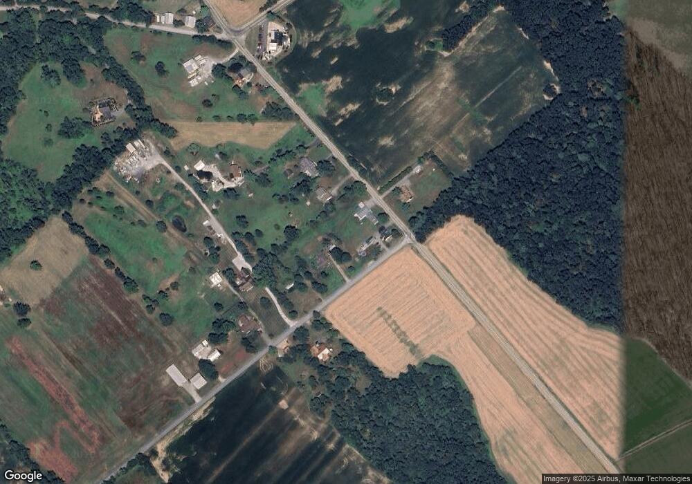
Map
Nearby Homes
- Tract #1 Carlisle Rd
- 138 S Peiffer Rd
- 270 S Winding Rd
- 375 Mount Zion Rd
- 22 Bentz Mill Rd
- 265 Pine Woods Rd
- 0 W Camping Area Rd
- 160 Myers Rd
- 10 Hull Dr
- 206 Bentz Mill Rd
- 580 S Kralltown Rd
- 6691 Harmony Grove Rd
- 107 Pickett Rd
- 6520 Old Carlisle Rd
- 1540 Baltimore Rd
- 1014 Pondtown Rd
- 81 Tannery Rd
- 2530 Sky Top Trail
- 480 Mount Airy Rd Unit 13
- 1967 Pinetown Rd
- 19ACRES Mine Bank Rd
- 8160 Harmony Grove Rd
- 8140 Harmony Grove Rd
- 95 Mine Bank Rd
- 8220 Harmony Grove Rd
- 90 Mine Bank Rd
- 105 Mine Bank Rd
- 8145 Harmony Grove Rd
- 8250 Harmony Grove Rd
- 8290 Harmony Grove Rd
- 50 Farm Valley Rd
- 5 Farm Valley Rd
- 8610 Carlisle Rd
- 8615 Carlisle Rd
- 180 Mine Bank Rd
- 75 Farm Valley Rd
- Lot #2 Carlisle Rd
- 180 Farm Valley Rd
- 155 Farm Valley Rd
- 8565 Carlisle Rd