81 Owens Rd Colebrook, NH 03576
Estimated Value: $338,000 - $435,666
2
Beds
2
Baths
2,148
Sq Ft
$184/Sq Ft
Est. Value
About This Home
This home is located at 81 Owens Rd, Colebrook, NH 03576 and is currently estimated at $394,667, approximately $183 per square foot. 81 Owens Rd is a home with nearby schools including Stewartstown Community School.
Ownership History
Date
Name
Owned For
Owner Type
Purchase Details
Closed on
Jul 18, 2006
Sold by
Berry Jon-Paul and Berry Karen L
Bought by
Allen Gerald
Current Estimated Value
Home Financials for this Owner
Home Financials are based on the most recent Mortgage that was taken out on this home.
Original Mortgage
$167,200
Outstanding Balance
$99,591
Interest Rate
6.71%
Mortgage Type
Purchase Money Mortgage
Estimated Equity
$295,076
Create a Home Valuation Report for This Property
The Home Valuation Report is an in-depth analysis detailing your home's value as well as a comparison with similar homes in the area
Home Values in the Area
Average Home Value in this Area
Purchase History
| Date | Buyer | Sale Price | Title Company |
|---|---|---|---|
| Allen Gerald | $209,000 | -- |
Source: Public Records
Mortgage History
| Date | Status | Borrower | Loan Amount |
|---|---|---|---|
| Open | Allen Gerald | $167,200 | |
| Closed | Allen Gerald | $167,200 |
Source: Public Records
Tax History Compared to Growth
Tax History
| Year | Tax Paid | Tax Assessment Tax Assessment Total Assessment is a certain percentage of the fair market value that is determined by local assessors to be the total taxable value of land and additions on the property. | Land | Improvement |
|---|---|---|---|---|
| 2024 | $4,909 | $307,226 | $73,726 | $233,500 |
| 2023 | $4,510 | $307,228 | $73,728 | $233,500 |
| 2022 | $4,776 | $196,071 | $16,271 | $179,800 |
| 2021 | $4,683 | $196,191 | $16,391 | $179,800 |
| 2020 | $4,634 | $196,186 | $16,386 | $179,800 |
| 2019 | $4,626 | $196,198 | $16,398 | $179,800 |
| 2018 | $4,374 | $194,298 | $16,398 | $177,900 |
| 2016 | $4,289 | $179,608 | $18,708 | $160,900 |
| 2015 | $4,211 | $177,473 | $18,673 | $158,800 |
| 2014 | $3,442 | $147,222 | $18,622 | $128,600 |
| 2013 | $3,389 | $144,934 | $19,134 | $125,800 |
Source: Public Records
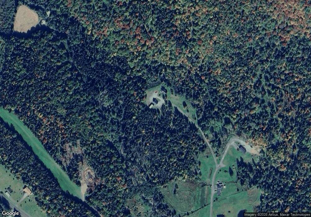
Map
Nearby Homes
- 621 Bishop Brook Rd
- TBD Hollow Rd
- TBD Ridge Rd
- - Bishop Brook Rd
- 11 Downing Rd
- 0 Piper Hill Rd Unit C
- 869 Piper Hill Rd
- 97 Cobblestone Rd
- 92 Bishop Brook Rd
- 72 Heritage Rd
- Lot 1, 2, & 3 Creampoke Rd
- 75 Heritage Rd
- 220 Creampoke Rd
- 881 S Hill Rd
- 12 River Rd
- 85 Angels Rd
- 120 Angels Rd
- 63 Pariseau Dr
- 18 Lynch Dr
- 19 Cooke Rd
- 86 Owens Rd
- 60 Owens Rd
- 7 Moss Dr
- 558 Bishop Brook Rd
- 558 Bishop Brook Rd Unit 2
- 558 Bishop Brook Rd Unit Apartment 1
- 474 Bishop Brook Rd
- 486 Bishop Brook Rd
- Lot 3 Gulch Brook Dr
- 36 Moss Dr
- 464 Bishop Brook Rd
- 44 Moss Dr
- Lot 1 & 2 Gulch Brook Rd
- 570 Bishop Brook Rd
- 443 Bishop Brook Rd
- Lot 2 Gulch Brook Rd Unit 2
- Lot 2 Gulch Brook Rd
- Lot 3 Gulch Brook Rd Unit 3
- Lot 3 Gulch Brook Rd
- Lot 4 Gulch Brook Dr