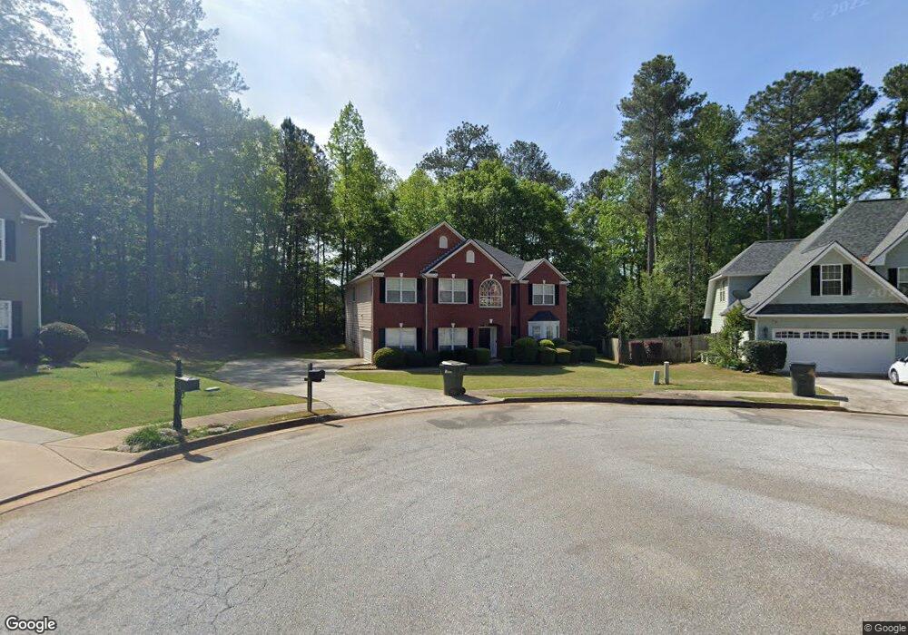
8126 Woodland Ct SE Unit 2B Covington, GA 30014
Estimated Value: $381,714 - $413,000
--
Bed
3
Baths
2,571
Sq Ft
$154/Sq Ft
Est. Value
About This Home
This home is located at 8126 Woodland Ct SE Unit 2B, Covington, GA 30014 and is currently estimated at $396,929, approximately $154 per square foot. 8126 Woodland Ct SE Unit 2B is a home located in Newton County with nearby schools including East Newton Elementary School, Cousins Middle School, and Eastside High School.
Ownership History
Date
Name
Owned For
Owner Type
Purchase Details
Closed on
Dec 12, 2002
Sold by
The Ryland Grp Inc
Bought by
Scott Aisha
Current Estimated Value
Home Financials for this Owner
Home Financials are based on the most recent Mortgage that was taken out on this home.
Original Mortgage
$228,000
Outstanding Balance
$103,782
Interest Rate
5.99%
Mortgage Type
New Conventional
Estimated Equity
$293,147
Create a Home Valuation Report for This Property
The Home Valuation Report is an in-depth analysis detailing your home's value as well as a comparison with similar homes in the area
Home Values in the Area
Average Home Value in this Area
Purchase History
| Date | Buyer | Sale Price | Title Company |
|---|---|---|---|
| Scott Aisha | $240,100 | -- |
Source: Public Records
Mortgage History
| Date | Status | Borrower | Loan Amount |
|---|---|---|---|
| Open | Scott Aisha | $228,000 |
Source: Public Records
Tax History Compared to Growth
Tax History
| Year | Tax Paid | Tax Assessment Tax Assessment Total Assessment is a certain percentage of the fair market value that is determined by local assessors to be the total taxable value of land and additions on the property. | Land | Improvement |
|---|---|---|---|---|
| 2024 | $4,208 | $139,360 | $22,400 | $116,960 |
| 2023 | $4,541 | $139,720 | $13,200 | $126,520 |
| 2022 | $3,828 | $117,800 | $13,200 | $104,600 |
| 2021 | $3,898 | $107,320 | $13,200 | $94,120 |
| 2020 | $3,490 | $87,480 | $13,200 | $74,280 |
| 2019 | $3,530 | $86,880 | $13,200 | $73,680 |
| 2018 | $3,413 | $83,040 | $13,200 | $69,840 |
| 2017 | $2,783 | $67,720 | $13,200 | $54,520 |
| 2016 | $2,485 | $60,480 | $10,000 | $50,480 |
| 2015 | $2,739 | $66,560 | $10,000 | $56,560 |
| 2014 | $2,504 | $60,880 | $0 | $0 |
Source: Public Records
Map
Nearby Homes
- 8239 High Lake Terrace SE
- 8193 Monticello St
- 10110 Malcolm Ct
- 10183 N Links Dr
- 10155 Malcolm Dr
- 6111 Old Monticello St SE
- 10184 Malcolm Dr
- 8384 Fairway Dr
- 6176 Pinewood Dr SE
- 8370 Fairway Dr
- 322 Pinewood Dr
- 10119 Azalea Dr
- 6169 Pinewood Dr SE
- 10216 Azalea Dr
- 0 Petty St Unit 10547316
- 0 Petty St Unit 7640177
- 7155 Petty St SW
- 6134 Linwood Dr SE
- 8291 Fairway Dr
- 8116 Woodland Ct SE
- 8195 N Links Dr
- 8185 N Links Dr Unit IIA
- 8179 N Links Dr Unit 11A
- 8205 N Links Dr
- 8125 Woodland Ct SE
- 8157 Woodland Ave SE Unit 30
- 8157 Woodland Ave SE
- 8106 Woodland Ct SE
- 8165 Woodland Ave SE
- 8115 Woodland Ct SE
- 9113 S Dearing St
- 9109 S Dearing St
- 8171 N Links Dr
- 8184 N Links Dr
- 8107 Woodland Ct SE
- 8175 Woodland Ave SE Unit 2B
- 8202 N Links Dr
- 8123 Woodland Ave SE
- 8172 N Links Dr Unit 2A