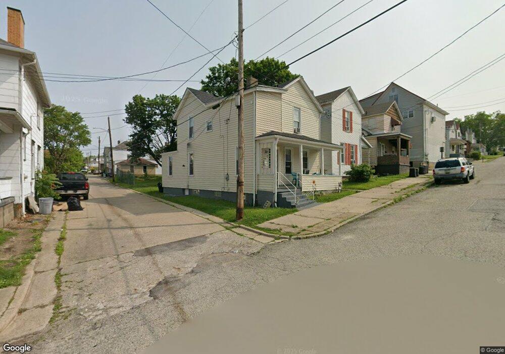
814 Walnut St New Kensington, PA 15068
Estimated Value: $56,938 - $96,000
4
Beds
2
Baths
1,140
Sq Ft
$72/Sq Ft
Est. Value
About This Home
This home is located at 814 Walnut St, New Kensington, PA 15068 and is currently estimated at $81,985, approximately $71 per square foot. 814 Walnut St is a home located in Westmoreland County with nearby schools including Mary Queen of Apostles School.
Ownership History
Date
Name
Owned For
Owner Type
Purchase Details
Closed on
Sep 16, 2021
Sold by
Klutts Brock
Bought by
Sfr3 020 Llc
Current Estimated Value
Purchase Details
Closed on
Dec 7, 2020
Sold by
Davis Benjamin and Davis Abigail
Bought by
Klutts Brock
Purchase Details
Closed on
Mar 29, 2019
Sold by
Nicklus Juliet and Carrai Mary
Bought by
Davis Benjamin
Purchase Details
Closed on
Apr 21, 2014
Sold by
Krofchik Timothy J
Bought by
Krofchik Jeffrey J
Create a Home Valuation Report for This Property
The Home Valuation Report is an in-depth analysis detailing your home's value as well as a comparison with similar homes in the area
Home Values in the Area
Average Home Value in this Area
Purchase History
| Date | Buyer | Sale Price | Title Company |
|---|---|---|---|
| Sfr3 020 Llc | $31,000 | Brokers Settlement Services | |
| Klutts Brock | $19,000 | Century Settlement Svcs Inc | |
| Davis Benjamin | $15,000 | None Available | |
| Krofchik Jeffrey J | -- | None Available |
Source: Public Records
Tax History Compared to Growth
Tax History
| Year | Tax Paid | Tax Assessment Tax Assessment Total Assessment is a certain percentage of the fair market value that is determined by local assessors to be the total taxable value of land and additions on the property. | Land | Improvement |
|---|---|---|---|---|
| 2025 | $1,684 | $10,550 | $1,950 | $8,600 |
| 2024 | $1,668 | $10,550 | $1,950 | $8,600 |
| 2023 | $1,579 | $10,550 | $1,950 | $8,600 |
| 2022 | $1,531 | $10,550 | $1,950 | $8,600 |
| 2021 | $1,496 | $10,550 | $1,950 | $8,600 |
| 2020 | $1,464 | $10,550 | $1,950 | $8,600 |
| 2019 | $1,427 | $10,550 | $1,950 | $8,600 |
| 2018 | $1,406 | $10,550 | $1,950 | $8,600 |
| 2017 | $1,385 | $10,550 | $1,950 | $8,600 |
| 2016 | $1,385 | $10,550 | $1,950 | $8,600 |
| 2015 | $1,385 | $10,550 | $1,950 | $8,600 |
| 2014 | $1,331 | $10,550 | $1,950 | $8,600 |
Source: Public Records
Map
Nearby Homes
- 1134 Leishman Ave
- 318 Ridge Ave
- 486 McCargo St
- 201 Locust St
- 1025 Kenneth Ave
- 1218 Woodmont Ave
- 105 Locust St
- 327 Charles Ave
- 254 Ridge Ave
- 1240 Victoria Ave
- 1233 Kenneth Ave
- 1312 Woodmont Ave
- 225 Highland Ave
- 533 Freeport Rd
- 1308 Taylor Ave
- 168 Short St
- 159 Freeport Rd
- 125 North St
- 1506 Victoria Ave
- 1512 Kenneth Ave
- 818 Walnut St
- 810 Walnut St
- 820 Walnut St
- 1109 Victoria Ave
- 806 Walnut St
- 1101 Victoria Ave
- 804 Walnut St
- 1115 Victoria Ave
- 1108 Leishman Ave
- 800 Walnut St
- 1116 Leishman Ave Unit 16
- 1119 Victoria Ave
- 900 Walnut St
- 803 Walnut St
- 1120 Leishman Ave
- 1123 Victoria Ave
- 904 Walnut St
- 901 Walnut St
- 1125 Victoria Ave
- 1050 Leishman Ave