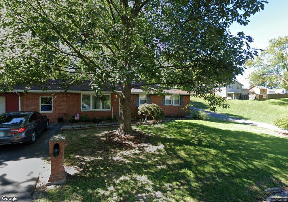
815 Hadley St Collinsville, IL 62234
Estimated Value: $190,836 - $206,000
4
Beds
2
Baths
1,134
Sq Ft
$176/Sq Ft
Est. Value
About This Home
This home is located at 815 Hadley St, Collinsville, IL 62234 and is currently estimated at $199,209, approximately $175 per square foot. 815 Hadley St is a home located in Madison County with nearby schools including John A Renfro Elementary School, Dorris Intermediate School, and Collinsville Middle School.
Ownership History
Date
Name
Owned For
Owner Type
Purchase Details
Closed on
Oct 20, 2006
Sold by
Rudis Bruce A and Rudis Dorothy A
Bought by
Smith Richard D and Smith Donna L
Current Estimated Value
Home Financials for this Owner
Home Financials are based on the most recent Mortgage that was taken out on this home.
Original Mortgage
$91,600
Outstanding Balance
$54,780
Interest Rate
6.5%
Mortgage Type
Small Business Administration
Estimated Equity
$144,429
Create a Home Valuation Report for This Property
The Home Valuation Report is an in-depth analysis detailing your home's value as well as a comparison with similar homes in the area
Home Values in the Area
Average Home Value in this Area
Purchase History
| Date | Buyer | Sale Price | Title Company |
|---|---|---|---|
| Smith Richard D | $150,000 | Abstracts & Titles Inc |
Source: Public Records
Mortgage History
| Date | Status | Borrower | Loan Amount |
|---|---|---|---|
| Open | Smith Richard D | $91,600 |
Source: Public Records
Tax History Compared to Growth
Tax History
| Year | Tax Paid | Tax Assessment Tax Assessment Total Assessment is a certain percentage of the fair market value that is determined by local assessors to be the total taxable value of land and additions on the property. | Land | Improvement |
|---|---|---|---|---|
| 2024 | $2,925 | $54,500 | $7,200 | $47,300 |
| 2023 | $2,925 | $50,440 | $6,660 | $43,780 |
| 2022 | $2,925 | $45,140 | $5,960 | $39,180 |
| 2021 | $2,515 | $42,410 | $5,600 | $36,810 |
| 2020 | $0 | $40,460 | $5,340 | $35,120 |
| 2019 | $1,658 | $39,080 | $5,160 | $33,920 |
| 2018 | $2,037 | $34,720 | $5,190 | $29,530 |
| 2017 | $2,089 | $34,030 | $5,090 | $28,940 |
| 2016 | $1,658 | $34,030 | $5,090 | $28,940 |
| 2015 | $1,658 | $33,150 | $4,960 | $28,190 |
| 2014 | $1,658 | $33,150 | $4,960 | $28,190 |
| 2013 | $1,658 | $33,150 | $4,960 | $28,190 |
Source: Public Records
Map
Nearby Homes
- 0 Strong Ave
- 123 W Wickliffe Ave
- 617 N Morrison Ave
- 123 Elliot St
- 308 Brown Ave
- 580 N Guernsey St
- 1224 Cedar Ridge Ct
- 5 Brookwood Dr
- 510 N Combs Ave
- 22 Brookwood Dr
- 1120 Williams St
- 1210 Constance St
- 0 Elm St
- 501 Spring
- 419 Bell St
- 414 Bunker Hill Dr
- 300 N Combs Ave
- 221 N Hesperia St Unit 221 A and 221 B
- 1121 Carraway Ct
- 506 W Clay St
- 210 W Park Ave
- 0 Hadley St
- 24118 W Park Ave
- 235 W Park Ave
- 201 W Lincoln St
- 148 W Park Ave
- 205 W Lincoln St
- 207 W Park Ave
- 149 W Lincoln St
- 818 Hadley St
- 215 W Lincoln St
- 209 W Park Ave
- 211 W Lincoln St
- 147 W Lincoln St
- 820 Hadley St
- 711 Strong Ave
- 145 W Lincoln St
- 142 W Park Ave
- 715 Strong Ave
- 717 Strong Ave