819 Cole Ave Montrose, MN 55363
Estimated Value: $317,683 - $338,000
2
Beds
2
Baths
1,292
Sq Ft
$253/Sq Ft
Est. Value
About This Home
This home is located at 819 Cole Ave, Montrose, MN 55363 and is currently estimated at $327,421, approximately $253 per square foot. 819 Cole Ave is a home located in Wright County with nearby schools including Montrose Elementary School, Buffalo Community Middle School, and Buffalo Senior High School.
Ownership History
Date
Name
Owned For
Owner Type
Purchase Details
Closed on
Jun 28, 2018
Sold by
Michael Gallus Construction Inc
Bought by
Gordon L Esperance Sophie and Esperance Gordon L
Current Estimated Value
Home Financials for this Owner
Home Financials are based on the most recent Mortgage that was taken out on this home.
Original Mortgage
$252,442
Outstanding Balance
$222,062
Interest Rate
5.2%
Mortgage Type
FHA
Estimated Equity
$105,359
Purchase Details
Closed on
Dec 6, 2005
Sold by
Insignia Development Llc
Bought by
Michael Gallus Construction Inc
Create a Home Valuation Report for This Property
The Home Valuation Report is an in-depth analysis detailing your home's value as well as a comparison with similar homes in the area
Home Values in the Area
Average Home Value in this Area
Purchase History
| Date | Buyer | Sale Price | Title Company |
|---|---|---|---|
| Gordon L Esperance Sophie | $257,100 | Watermark Title Agcy Qualia | |
| Michael Gallus Construction Inc | $56,900 | -- |
Source: Public Records
Mortgage History
| Date | Status | Borrower | Loan Amount |
|---|---|---|---|
| Open | Gordon L Esperance Sophie | $252,442 |
Source: Public Records
Tax History Compared to Growth
Tax History
| Year | Tax Paid | Tax Assessment Tax Assessment Total Assessment is a certain percentage of the fair market value that is determined by local assessors to be the total taxable value of land and additions on the property. | Land | Improvement |
|---|---|---|---|---|
| 2025 | $3,118 | $284,200 | $50,000 | $234,200 |
| 2024 | $3,322 | $258,600 | $35,000 | $223,600 |
| 2023 | $3,340 | $296,200 | $70,000 | $226,200 |
| 2022 | $3,332 | $274,500 | $72,000 | $202,500 |
| 2021 | $3,314 | $237,300 | $40,000 | $197,300 |
| 2020 | $3,194 | $231,000 | $40,000 | $191,000 |
| 2019 | $324 | $219,200 | $0 | $0 |
| 2018 | $394 | $19,000 | $0 | $0 |
| 2017 | $366 | $14,000 | $0 | $0 |
| 2016 | $366 | $0 | $0 | $0 |
| 2015 | $372 | $0 | $0 | $0 |
| 2014 | -- | $0 | $0 | $0 |
Source: Public Records
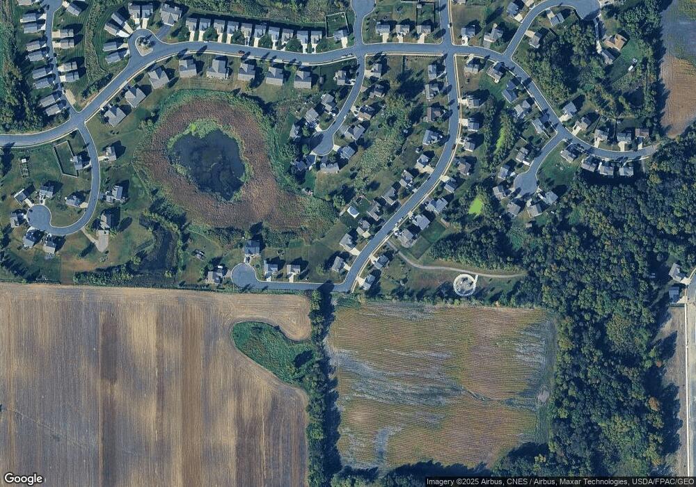
Map
Nearby Homes
- Cameron Plan at Northridge
- Granite Plan at Northridge
- Harris Plan at Northridge
- 699 Aspen Ln
- 697 Aspen Ln
- 695 Aspen Ln
- 693 Aspen Ln
- 691 Aspen Ln
- 689 Aspen Ln
- 687 Aspen Ln
- 685 Aspen Ln
- 692 Aspen Ln
- 690 Aspen Ln
- 683 Aspen Ln
- 645 Fieldcrest Ave N
- 684 Aspen Ln
- 643 Fieldcrest Ave N
- 1011 Alexander Ct
- 995 Fox Ave
- 935 Aspen Ln