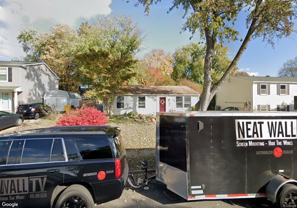
819 Ruxshire Dr Arnold, MD 21012
Estimated Value: $459,014 - $704,000
3
Beds
1
Bath
1,344
Sq Ft
$408/Sq Ft
Est. Value
About This Home
This home is located at 819 Ruxshire Dr, Arnold, MD 21012 and is currently estimated at $548,004, approximately $407 per square foot. 819 Ruxshire Dr is a home located in Anne Arundel County with nearby schools including Belvedere Elementary School, Severn River Middle School, and Broadneck High School.
Ownership History
Date
Name
Owned For
Owner Type
Purchase Details
Closed on
Jul 13, 2006
Sold by
Crawford Bill R
Bought by
Walsh John F and Walsh Debra G
Current Estimated Value
Purchase Details
Closed on
Jul 10, 2006
Sold by
Crawford Bill R
Bought by
Walsh John F and Walsh Debra G
Purchase Details
Closed on
Aug 1, 1990
Sold by
Sparks Millard E
Bought by
Crawford Bill R
Home Financials for this Owner
Home Financials are based on the most recent Mortgage that was taken out on this home.
Original Mortgage
$120,950
Interest Rate
9.98%
Create a Home Valuation Report for This Property
The Home Valuation Report is an in-depth analysis detailing your home's value as well as a comparison with similar homes in the area
Home Values in the Area
Average Home Value in this Area
Purchase History
| Date | Buyer | Sale Price | Title Company |
|---|---|---|---|
| Walsh John F | -- | -- | |
| Walsh John F | -- | -- | |
| Crawford Bill R | $118,500 | -- |
Source: Public Records
Mortgage History
| Date | Status | Borrower | Loan Amount |
|---|---|---|---|
| Previous Owner | Crawford Bill R | $120,950 |
Source: Public Records
Tax History Compared to Growth
Tax History
| Year | Tax Paid | Tax Assessment Tax Assessment Total Assessment is a certain percentage of the fair market value that is determined by local assessors to be the total taxable value of land and additions on the property. | Land | Improvement |
|---|---|---|---|---|
| 2025 | $3,978 | $338,333 | -- | -- |
| 2024 | $3,978 | $317,400 | $227,800 | $89,600 |
| 2023 | $3,871 | $311,067 | $0 | $0 |
| 2022 | $3,615 | $304,733 | $0 | $0 |
| 2021 | $7,097 | $298,400 | $212,800 | $85,600 |
| 2020 | $3,430 | $290,867 | $0 | $0 |
| 2019 | $3,354 | $283,333 | $0 | $0 |
| 2018 | $2,797 | $275,800 | $180,800 | $95,000 |
| 2017 | $3,070 | $263,733 | $0 | $0 |
| 2016 | -- | $251,667 | $0 | $0 |
| 2015 | -- | $239,600 | $0 | $0 |
| 2014 | -- | $239,600 | $0 | $0 |
Source: Public Records
Map
Nearby Homes
- 923 Whitstable Blvd
- 243 and 245 Haverton Rd
- 1078 Brightleaf Ct
- 339 Clifton Ave
- 303 Ternwing Dr
- 779 Match Point Dr
- 716 Magothy Rd
- 836 Mill Creek Rd
- 0 Moore Rd
- 831 Mill Creek Rd
- 445 Ruth Rd
- 404 Alameda Pkwy
- 377 Volley Ct
- 817 Riverside Dr
- 507 Greenblades Ct
- 1232 Taylor Ave
- 1277 Ritchie Hwy Unit 195
- 1277 Ritchie Hwy Unit 185
- 1215 Driftwood Ct
- 1199 Asquithpines Place
- 817 Ruxshire Dr
- 821 Ruxshire Dr
- 812 Aylesbury Garth
- 823 Ruxshire Dr
- 814 Aylesbury Garth
- 810 Aylesbury Garth
- 815 Ruxshire Dr
- 202 Dauntsey Dr
- 816 Aylesbury Garth
- 820 Ruxshire Dr
- 818 Ruxshire Dr
- 808 Aylesbury Garth
- 816 Ruxshire Dr
- 814 Ruxshire Dr
- 822 Ruxshire Dr
- 827 Ruxshire Dr
- 812 Ruxshire Dr
- 811 Aylesbury Garth
- 813 Aylesbury Garth
- 813 Ruxshire Dr