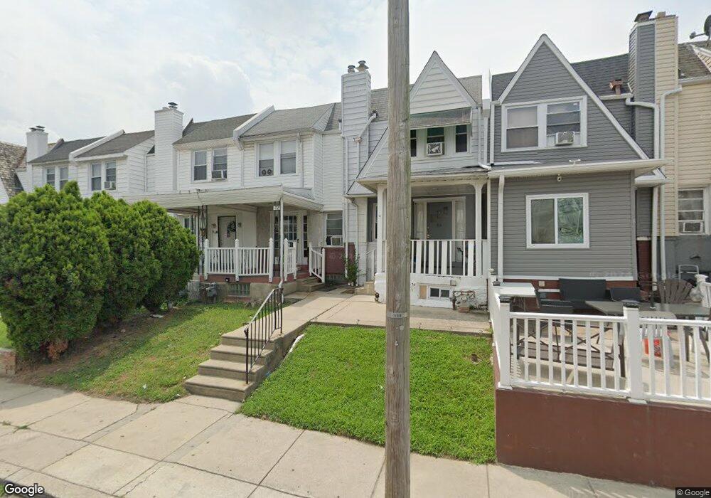
82 Hartley Rd Lansdowne, PA 19050
Estimated Value: $133,000 - $178,000
3
Beds
1
Bath
1,142
Sq Ft
$136/Sq Ft
Est. Value
About This Home
This home is located at 82 Hartley Rd, Lansdowne, PA 19050 and is currently estimated at $155,646, approximately $136 per square foot. 82 Hartley Rd is a home located in Delaware County with nearby schools including Charles Kelly El School, Upper Darby High School, and Vision Academy Charter School.
Ownership History
Date
Name
Owned For
Owner Type
Purchase Details
Closed on
Oct 15, 2021
Sold by
Pappas Don and Mittelbrunn Peter
Bought by
Njnd Llc
Current Estimated Value
Purchase Details
Closed on
Oct 3, 2008
Sold by
Mclaughlin Daniel M and Mc Laughlin Dolores M
Bought by
Mittelbrunn Peter and Pappas Don
Purchase Details
Closed on
Sep 21, 2005
Sold by
Mclaughlin Daniel M and Mclaughlin Dolores M
Bought by
Mclaughlin Daniel M and Mclaughlin Dolores M
Create a Home Valuation Report for This Property
The Home Valuation Report is an in-depth analysis detailing your home's value as well as a comparison with similar homes in the area
Home Values in the Area
Average Home Value in this Area
Purchase History
| Date | Buyer | Sale Price | Title Company |
|---|---|---|---|
| Njnd Llc | $80,000 | Sage Premier | |
| Mittelbrunn Peter | $68,090 | None Available | |
| Mclaughlin Daniel M | -- | None Available |
Source: Public Records
Tax History Compared to Growth
Tax History
| Year | Tax Paid | Tax Assessment Tax Assessment Total Assessment is a certain percentage of the fair market value that is determined by local assessors to be the total taxable value of land and additions on the property. | Land | Improvement |
|---|---|---|---|---|
| 2025 | $3,451 | $81,600 | $14,480 | $67,120 |
| 2024 | $3,451 | $81,600 | $14,480 | $67,120 |
| 2023 | $3,418 | $81,600 | $14,480 | $67,120 |
| 2022 | $3,327 | $81,600 | $14,480 | $67,120 |
| 2021 | $4,485 | $81,600 | $14,480 | $67,120 |
| 2020 | $3,789 | $58,580 | $18,100 | $40,480 |
| 2019 | $3,723 | $58,580 | $18,100 | $40,480 |
| 2018 | $3,680 | $58,580 | $0 | $0 |
| 2017 | $3,584 | $58,580 | $0 | $0 |
| 2016 | $321 | $58,580 | $0 | $0 |
| 2015 | $328 | $58,580 | $0 | $0 |
| 2014 | $328 | $58,580 | $0 | $0 |
Source: Public Records
Map
Nearby Homes
- 230 Wynnewood Ave
- 226 E Greenwood Ave
- 209 E Greenwood Ave
- 75 E Stewart Ave
- 315 E Essex Ave
- 317 E Essex Ave
- 319 E Essex Ave
- 178 N Union Ave
- 37 E Stratford Ave
- 608 Pembroke Ave
- 32 N Wycombe Ave
- 164 Woodland Ave
- 46 S Maple Ave
- 239 N Maple Ave
- 88 E Essex Ave
- 29 W Stratford Ave
- 53 E Essex Ave
- 7229 Clinton Rd
- 49 Elberon Ave
- 38 W Stratford Ave