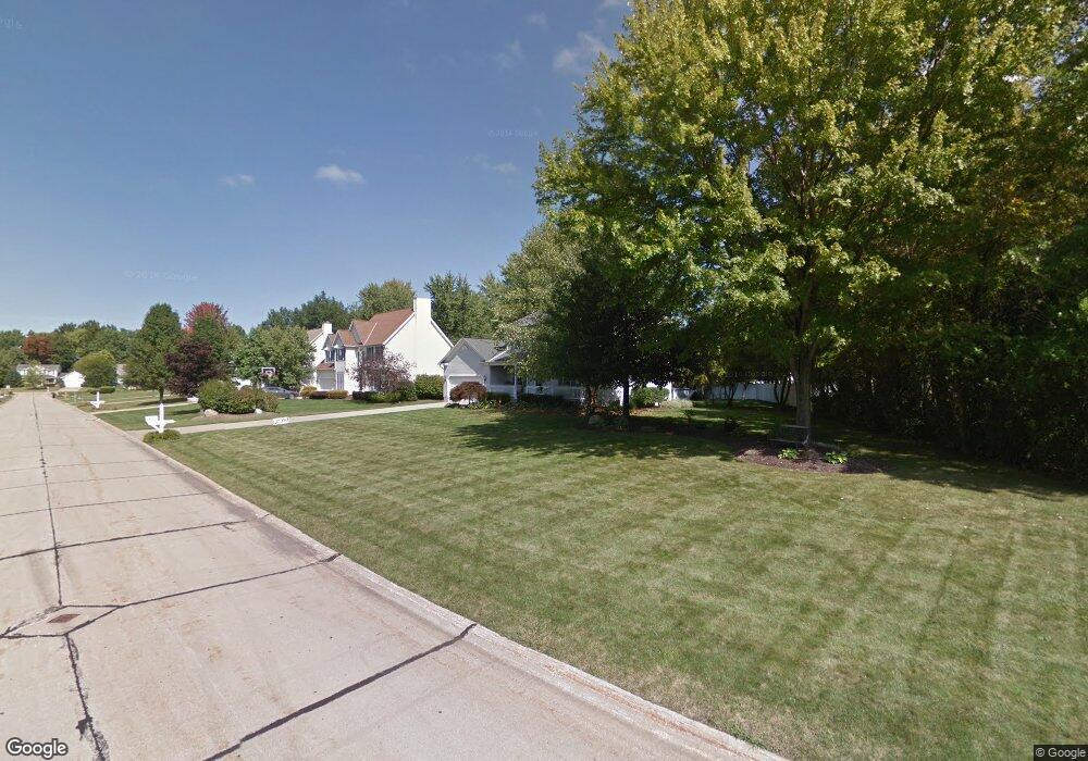
82 Red Pine Dr Painesville, OH 44077
Estimated Value: $312,220 - $344,000
3
Beds
3
Baths
952
Sq Ft
$344/Sq Ft
Est. Value
About This Home
This home is located at 82 Red Pine Dr, Painesville, OH 44077 and is currently estimated at $327,055, approximately $343 per square foot. 82 Red Pine Dr is a home located in Lake County with nearby schools including Henry F. Lamuth Middle School, Riverside Junior/Senior High School, and Summit Academy Community School - Painesville.
Ownership History
Date
Name
Owned For
Owner Type
Purchase Details
Closed on
Feb 24, 2004
Sold by
Christie Dawn M and Christie Patrick L
Bought by
Tomc Andrew J and Tomc Christine M
Current Estimated Value
Home Financials for this Owner
Home Financials are based on the most recent Mortgage that was taken out on this home.
Original Mortgage
$178,400
Outstanding Balance
$83,785
Interest Rate
5.74%
Mortgage Type
Purchase Money Mortgage
Estimated Equity
$243,270
Purchase Details
Closed on
Jul 18, 1997
Sold by
R L Moore Builders Inc
Bought by
Christie Patrick L and Christie Dawn M
Home Financials for this Owner
Home Financials are based on the most recent Mortgage that was taken out on this home.
Original Mortgage
$144,720
Interest Rate
7.62%
Purchase Details
Closed on
Jan 1, 1990
Bought by
R W Sidley Inc
Create a Home Valuation Report for This Property
The Home Valuation Report is an in-depth analysis detailing your home's value as well as a comparison with similar homes in the area
Home Values in the Area
Average Home Value in this Area
Purchase History
| Date | Buyer | Sale Price | Title Company |
|---|---|---|---|
| Tomc Andrew J | $209,900 | Progressive Land Title | |
| Christie Patrick L | $160,800 | Chicago Title Insurance Comp | |
| R W Sidley Inc | -- | -- |
Source: Public Records
Mortgage History
| Date | Status | Borrower | Loan Amount |
|---|---|---|---|
| Open | Tomc Andrew J | $178,400 | |
| Previous Owner | Christie Patrick L | $144,720 |
Source: Public Records
Tax History Compared to Growth
Tax History
| Year | Tax Paid | Tax Assessment Tax Assessment Total Assessment is a certain percentage of the fair market value that is determined by local assessors to be the total taxable value of land and additions on the property. | Land | Improvement |
|---|---|---|---|---|
| 2024 | -- | $97,620 | $21,830 | $75,790 |
| 2023 | $8,354 | $76,660 | $17,440 | $59,220 |
| 2022 | $4,480 | $76,660 | $17,440 | $59,220 |
| 2021 | $4,496 | $76,660 | $17,440 | $59,220 |
| 2020 | $4,429 | $66,660 | $15,170 | $51,490 |
| 2019 | $4,462 | $66,660 | $15,170 | $51,490 |
| 2018 | $4,476 | $59,720 | $20,420 | $39,300 |
| 2017 | $4,133 | $59,720 | $20,420 | $39,300 |
| 2016 | $3,638 | $59,720 | $20,420 | $39,300 |
| 2015 | $3,418 | $59,720 | $20,420 | $39,300 |
| 2014 | $3,474 | $59,720 | $20,420 | $39,300 |
| 2013 | $3,395 | $59,720 | $20,420 | $39,300 |
Source: Public Records
Map
Nearby Homes
- 65 Tanners Farm Dr
- 67 Tanners Farm Dr
- 43 Bristol Ave
- 1182 Dalton Dr
- 5406 Pebble Creek Ln
- 1172 Dalton Dr
- 396 Park Rd
- 58 Deerfield Dr
- 30 Orton Rd
- 44 Grove Ave
- V/L Morgan Dr
- 238 Radley Dr
- 500 Park Rd
- 525 Morgan Dr
- 65 Country Ln
- 1104 Fanwood Ct
- 104 Overlook Rd
- 85 Nelmar Dr
- 48 Nelmar Dr
- 0 N Ridge Rd Unit 5110949
- 94 Red Pine Dr
- 1475 Amberwood Ln
- 1485 Amberwood Ln
- 1495 Amberwood Ln
- 100 Red Pine Dr
- 87 Red Pine Dr
- 77 Red Pine Dr
- 1497 Amberwood Ln
- 95 Red Pine Dr
- 67 Red Pine Dr
- 110 Red Pine Dr
- 1455 Amberwood Ln
- 115 Honey Locust Ct
- 103 Red Pine Dr
- 109 Honey Locust Ct
- 1501 Amberwood Ln
- 1480 Amberwood Ln
- 1445 Amberwood Ln
- 1470 Amberwood Ln
- 1500 Amberwood Ln