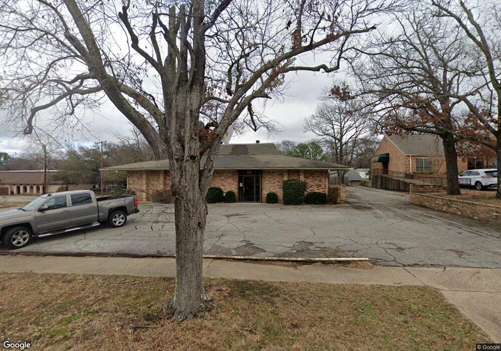
820 S Baxter Ave Tyler, TX 75701
Midtown Tyler Neighborhood
--
Bed
--
Bath
4,518
Sq Ft
0.45
Acres
About This Home
This home is located at 820 S Baxter Ave, Tyler, TX 75701. 820 S Baxter Ave is a home located in Smith County with nearby schools including Bell Elementary School, Moore Middle School, and Tyler High School.
Ownership History
Date
Name
Owned For
Owner Type
Purchase Details
Closed on
Mar 3, 2023
Sold by
Baxter Avenue Holdings Llc
Bought by
Cancer Foundation For Life Inc
Purchase Details
Closed on
Jan 23, 2013
Sold by
Grubb Holdings Lp 1
Bought by
Baxter Avenue Holdings Llc
Home Financials for this Owner
Home Financials are based on the most recent Mortgage that was taken out on this home.
Original Mortgage
$467,500
Interest Rate
3.33%
Mortgage Type
Commercial
Purchase Details
Closed on
Aug 31, 2005
Sold by
Heritage Home Health Inc
Bought by
Grubb Holdings Lp #1
Create a Home Valuation Report for This Property
The Home Valuation Report is an in-depth analysis detailing your home's value as well as a comparison with similar homes in the area
Home Values in the Area
Average Home Value in this Area
Purchase History
| Date | Buyer | Sale Price | Title Company |
|---|---|---|---|
| Cancer Foundation For Life Inc | -- | -- | |
| Baxter Avenue Holdings Llc | -- | None Available | |
| Grubb Holdings Lp #1 | -- | None Available |
Source: Public Records
Mortgage History
| Date | Status | Borrower | Loan Amount |
|---|---|---|---|
| Previous Owner | Baxter Avenue Holdings Llc | $467,500 |
Source: Public Records
Tax History Compared to Growth
Tax History
| Year | Tax Paid | Tax Assessment Tax Assessment Total Assessment is a certain percentage of the fair market value that is determined by local assessors to be the total taxable value of land and additions on the property. | Land | Improvement |
|---|---|---|---|---|
| 2025 | $13,225 | $479,889 | $102,385 | $377,504 |
| 2024 | $6,662 | $382,155 | $102,385 | $279,770 |
| 2023 | $6,723 | $385,688 | $102,385 | $283,303 |
| 2022 | $7,621 | $388,988 | $102,224 | $286,764 |
| 2021 | $7,694 | $366,743 | $97,357 | $269,386 |
| 2020 | $7,923 | $370,275 | $97,357 | $272,918 |
| 2019 | $8,247 | $377,127 | $97,357 | $279,770 |
| 2018 | $8,279 | $380,660 | $97,357 | $283,303 |
| 2017 | $8,201 | $384,121 | $97,357 | $286,764 |
| 2016 | $8,276 | $387,654 | $97,357 | $290,297 |
| 2015 | $8,384 | $391,115 | $97,357 | $293,758 |
| 2014 | $8,384 | $394,577 | $97,357 | $297,220 |
Source: Public Records
Map
Nearby Homes
- 1432 E Don St
- 1314 E Dawson St
- 613 S Baxter Ave
- 837 S Palmer Ave
- 1528 E Devine St
- 912 S Palmer Ave
- 1226 S Fleishel Ave
- 1513 E Lawrence St
- 1704 E Houston St
- 1910 E Lake St
- 1220 E Front St
- 1914 Parklen St
- 1919 E Ferdell St
- 834 S Tipton Ave
- 1317 & 1326 E Earle St
- 520 E Lake St
- 517 E Wells St
- 1725 S Mahon Ave
- 1730 S Mahon Ave
- 1515 E 6th St