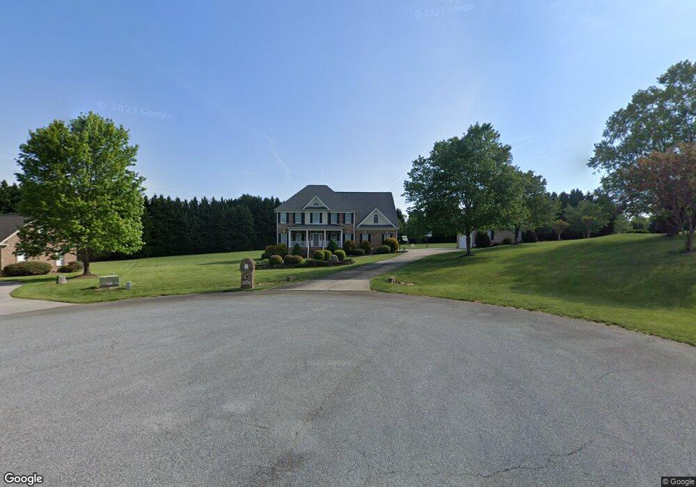
8202 Damson Ct Oak Ridge, NC 27310
Estimated Value: $606,000 - $648,558
4
Beds
4
Baths
2,892
Sq Ft
$217/Sq Ft
Est. Value
About This Home
This home is located at 8202 Damson Ct, Oak Ridge, NC 27310 and is currently estimated at $626,640, approximately $216 per square foot. 8202 Damson Ct is a home located in Guilford County with nearby schools including Oak Ridge Elementary School, Northwest Guilford Middle School, and Northwest Guilford High School.
Ownership History
Date
Name
Owned For
Owner Type
Purchase Details
Closed on
Jan 31, 2025
Sold by
Cunningham Richard T and Cunningham Dede F
Bought by
Dede Fister Cunningham And Richard Thomas Cun and Cunningham
Current Estimated Value
Purchase Details
Closed on
Nov 16, 2001
Sold by
Gray H Stafford and Gray Margaret Elizabeth
Bought by
Cunningham Richard T and Cunningham Dede F
Create a Home Valuation Report for This Property
The Home Valuation Report is an in-depth analysis detailing your home's value as well as a comparison with similar homes in the area
Home Values in the Area
Average Home Value in this Area
Purchase History
| Date | Buyer | Sale Price | Title Company |
|---|---|---|---|
| Dede Fister Cunningham And Richard Thomas Cun | -- | None Listed On Document | |
| Cunningham Richard T | $48,000 | -- |
Source: Public Records
Tax History Compared to Growth
Tax History
| Year | Tax Paid | Tax Assessment Tax Assessment Total Assessment is a certain percentage of the fair market value that is determined by local assessors to be the total taxable value of land and additions on the property. | Land | Improvement |
|---|---|---|---|---|
| 2025 | $4,364 | $467,600 | $70,000 | $397,600 |
| 2024 | $4,364 | $467,600 | $70,000 | $397,600 |
| 2023 | $4,364 | $467,600 | $70,000 | $397,600 |
| 2022 | $4,247 | $467,600 | $70,000 | $397,600 |
| 2021 | $3,929 | $432,600 | $50,000 | $382,600 |
| 2020 | $3,929 | $432,600 | $50,000 | $382,600 |
| 2019 | $3,929 | $432,600 | $0 | $0 |
| 2018 | $0 | $432,600 | $0 | $0 |
| 2017 | $3,929 | $432,600 | $0 | $0 |
| 2016 | $3,802 | $410,500 | $0 | $0 |
| 2015 | $3,822 | $410,500 | $0 | $0 |
| 2014 | $3,863 | $410,500 | $0 | $0 |
Source: Public Records
Map
Nearby Homes
- 5402 Effieham St
- 8235 Stafford Mill Rd
- 8280 Stafford Mill Rd
- 5216 Harley Stafford Dr
- 7856, 7864 Alcorn Rd
- 8304 Burchlawn Ct
- 4530 Peeples Rd
- 7929 Tranquility Place
- 8104 Leabourne Rd
- 604 Stafford Pointe Ct
- 3945 Cassillis Way Unit 105
- 8323 Lazy Sky Ln Unit 69
- 8321 Lazy Sky Ln Unit 70
- 8314 Lazy Sky Ln Unit 112
- 3934 Cassillis Way Unit 110
- 3940 Cassillis Way Unit 107
- 3936 Cassillis Way Unit 109
- 8312 Lazy Sky Ln Unit 113
- 8317 Lazy Sky Ln Unit 100
- 8308 Lazy Sky Ln Unit 115
- 8204 Damson Ct
- 8201 Damson Ct
- 5507 Gray Leigh Dr
- 5505 Gray Leigh Dr
- 5504 Effieham St
- 8206 Damson Ct
- 5508 Effieham St
- 8203 Damson Ct
- 5503 Gray Leigh Dr
- 8182 Gray Leigh Ct
- 5512 Effieham St
- 5406 Effieham St
- 5501 Gray Leigh Dr
- 8184 Gray Leigh Ct
- 5506 Gray Leigh Dr
- 5504 Gray Leigh Dr
- 5404 Effieham St
- 5502 Gray Leigh Dr
- 5501 Effieham St
- 8188 Gray Leigh Ct