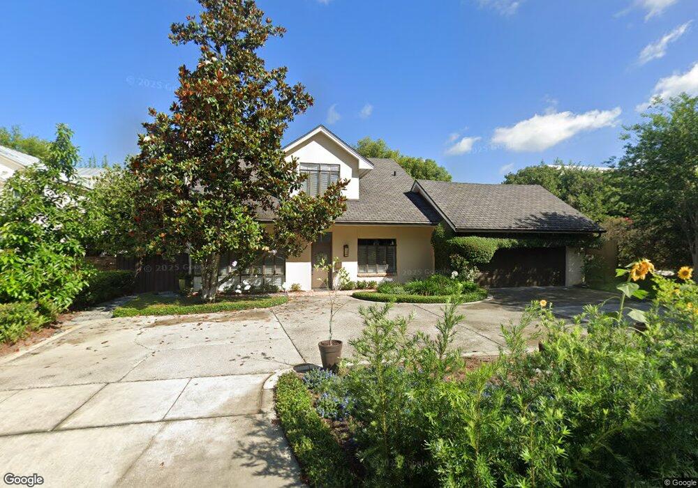
821 Mayfield Ave Winter Park, FL 32789
Estimated Value: $1,187,000 - $1,650,000
4
Beds
2
Baths
2,492
Sq Ft
$564/Sq Ft
Est. Value
About This Home
This home is located at 821 Mayfield Ave, Winter Park, FL 32789 and is currently estimated at $1,406,523, approximately $564 per square foot. 821 Mayfield Ave is a home located in Orange County with nearby schools including Lakemont Elementary, Maitland Middle School, and Winter Park High.
Ownership History
Date
Name
Owned For
Owner Type
Purchase Details
Closed on
Aug 29, 2006
Sold by
Levine Michael and Levine Diane
Bought by
Levine Michael S and Levine Diane T
Current Estimated Value
Purchase Details
Closed on
Mar 1, 2006
Sold by
Feinberg Doris W
Bought by
Levine Michael and Levine Diane
Home Financials for this Owner
Home Financials are based on the most recent Mortgage that was taken out on this home.
Original Mortgage
$639,920
Outstanding Balance
$359,087
Interest Rate
6.05%
Mortgage Type
Fannie Mae Freddie Mac
Estimated Equity
$1,047,436
Create a Home Valuation Report for This Property
The Home Valuation Report is an in-depth analysis detailing your home's value as well as a comparison with similar homes in the area
Home Values in the Area
Average Home Value in this Area
Purchase History
| Date | Buyer | Sale Price | Title Company |
|---|---|---|---|
| Levine Michael S | -- | None Available | |
| Levine Michael | $799,900 | None Available |
Source: Public Records
Mortgage History
| Date | Status | Borrower | Loan Amount |
|---|---|---|---|
| Open | Levine Michael | $639,920 |
Source: Public Records
Tax History Compared to Growth
Tax History
| Year | Tax Paid | Tax Assessment Tax Assessment Total Assessment is a certain percentage of the fair market value that is determined by local assessors to be the total taxable value of land and additions on the property. | Land | Improvement |
|---|---|---|---|---|
| 2025 | $8,293 | $579,744 | -- | -- |
| 2024 | $7,994 | $579,744 | -- | -- |
| 2023 | $7,994 | $546,995 | $0 | $0 |
| 2022 | $7,595 | $531,063 | $0 | $0 |
| 2021 | $7,512 | $515,595 | $0 | $0 |
| 2020 | $7,225 | $508,476 | $0 | $0 |
| 2019 | $7,472 | $497,044 | $0 | $0 |
| 2018 | $7,431 | $487,776 | $0 | $0 |
| 2017 | $7,365 | $592,464 | $372,600 | $219,864 |
| 2016 | $7,215 | $586,293 | $372,600 | $213,693 |
| 2015 | $7,388 | $523,766 | $324,000 | $199,766 |
| 2014 | $7,452 | $475,780 | $247,000 | $228,780 |
Source: Public Records
Map
Nearby Homes
- 1240 Harding St
- 825 Palmer Ave
- 1400 Alabama Dr
- 901 Palmer Ave
- 1602 Alabama Dr Unit 404
- 1602 Alabama Dr Unit 203
- 550 Palmer Ave
- 1150 Via Salerno
- 1120 Palmer Ave
- 702 Via Bella
- 887 Georgia Ave
- 715 Via Bella
- 1420 Palmer Ave
- 1161 Valencia Ave
- 1742 Temple Dr
- 446 Alberta Dr
- 1860 Via Contessa
- 450 Lakewood Dr
- 1560 Woodland Ave
- 640 N Park Ave Unit 26
- 1218 Alabama Dr
- 1217 Harding St
- 1201 Harding St
- 1230 Alabama Dr
- 1223 Harding St
- 800 Mayfield Ave
- 1233 Harding St
- 820 Mayfield Ave
- 840 Mayfield Ave
- 1253 Harding St
- 1200 Harding St
- 1260 Alabama Dr
- 860 Mayfield Ave
- 1246 Alabama Dr
- 1084 Mckean Cir
- 1220 Harding St
- 1110 Alabama Dr
- 1098 Mckean Cir
- 1210 Harding St
- 1094 Mckean Cir