8211 Prince Valiant Dr Waxhaw, NC 28173
Estimated Value: $857,000 - $1,146,000
4
Beds
3
Baths
2,697
Sq Ft
$375/Sq Ft
Est. Value
About This Home
This home is located at 8211 Prince Valiant Dr, Waxhaw, NC 28173 and is currently estimated at $1,011,420, approximately $375 per square foot. 8211 Prince Valiant Dr is a home located in Union County with nearby schools including Sandy Ridge Elementary School, Marvin Ridge Middle School, and Marvin Ridge High School.
Ownership History
Date
Name
Owned For
Owner Type
Purchase Details
Closed on
Mar 26, 2003
Sold by
Gomez Victor Samuel and Gomez Emilia G
Bought by
Vernon James A and Vernon Tonya S
Current Estimated Value
Home Financials for this Owner
Home Financials are based on the most recent Mortgage that was taken out on this home.
Original Mortgage
$322,700
Outstanding Balance
$139,342
Interest Rate
5.82%
Estimated Equity
$872,078
Create a Home Valuation Report for This Property
The Home Valuation Report is an in-depth analysis detailing your home's value as well as a comparison with similar homes in the area
Home Values in the Area
Average Home Value in this Area
Purchase History
| Date | Buyer | Sale Price | Title Company |
|---|---|---|---|
| Vernon James A | $340,000 | -- |
Source: Public Records
Mortgage History
| Date | Status | Borrower | Loan Amount |
|---|---|---|---|
| Open | Vernon James A | $322,700 |
Source: Public Records
Tax History Compared to Growth
Tax History
| Year | Tax Paid | Tax Assessment Tax Assessment Total Assessment is a certain percentage of the fair market value that is determined by local assessors to be the total taxable value of land and additions on the property. | Land | Improvement |
|---|---|---|---|---|
| 2024 | $4,523 | $603,700 | $264,200 | $339,500 |
| 2023 | $4,388 | $603,700 | $264,200 | $339,500 |
| 2022 | $4,382 | $603,700 | $264,200 | $339,500 |
| 2021 | $4,191 | $603,700 | $264,200 | $339,500 |
| 2020 | $3,073 | $399,000 | $132,000 | $267,000 |
| 2019 | $3,257 | $399,000 | $132,000 | $267,000 |
| 2018 | $3,058 | $399,000 | $132,000 | $267,000 |
| 2017 | $3,433 | $399,000 | $132,000 | $267,000 |
| 2016 | $3,175 | $399,000 | $132,000 | $267,000 |
| 2015 | $3,211 | $399,000 | $132,000 | $267,000 |
| 2014 | $2,699 | $392,930 | $196,000 | $196,930 |
Source: Public Records
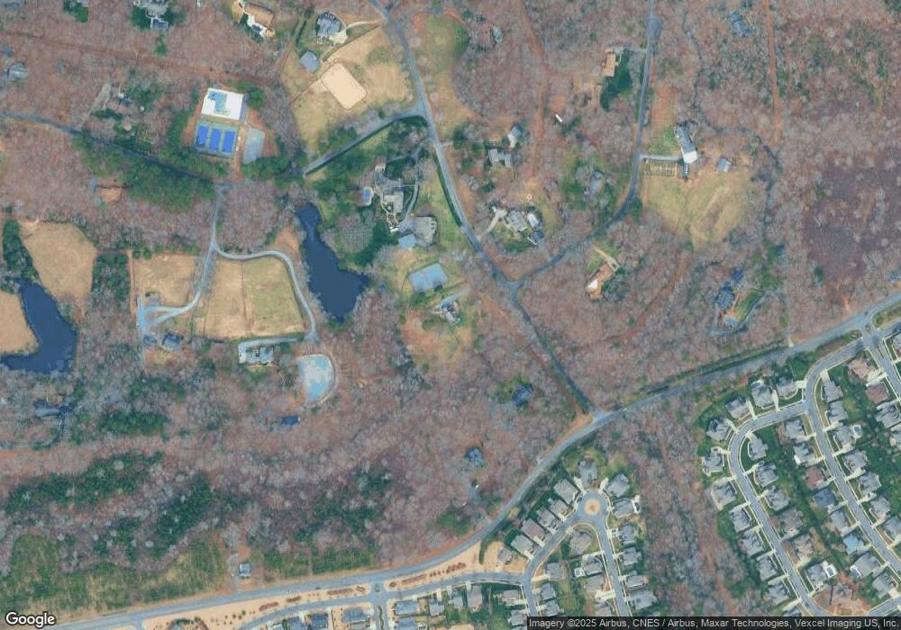
Map
Nearby Homes
- 2702 Arsdale Rd
- 8500 Fairgreen Ave
- 2721 Twinberry Ln
- 8700 Whitehawk Hill Rd
- 3301 Mcpherson St
- 8712 Soaring Eagle Ln
- 2751 Collaroy Rd
- 8504 Viking Dr
- 2504 River Oaks Dr
- 2416 River Oaks Dr
- 2609 Twinberry Ln
- 8200 Sturminster Dr
- 3005 Misty Moss Ct
- 2304 Coltsgate Rd
- 2907 Thayer Dr
- 3401 Collaroy Rd
- 3029 Scottcrest Way
- 8100 Brisbin Dr
- 8036 Lynwood Square
- 2413 Merryvale Way
- 8307 Prince Valiant Dr
- 8311 Prince Valiant Dr
- 8300 Prince Valiant Dr
- 8204 Gray Byrum Rd
- 8210 Gray Byrum Rd
- 3425 Rainbow Dr
- 8310 Prince Valiant Dr
- 8061 Prince Valiant Dr
- 0000 Prince Valiant Rd
- 3424 Rainbow Dr
- 3324 Northwinds Dr
- 000 Gray Byrum Rd Unit 1
- 3052 Arsdale Rd
- 3056 Arsdale Rd
- 3100 Arsdale Rd
- 3102 Arsdale Rd
- 3104 Arsdale Rd
- Lot #4 Viking Dr Unit 4
- 3048 Arsdale Rd
- 3048 Arsdale Rd Unit 90