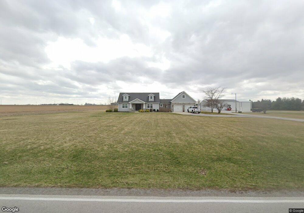
8215 County Road 86 Findlay, OH 45840
Estimated Value: $419,000 - $541,000
4
Beds
3
Baths
1,939
Sq Ft
$233/Sq Ft
Est. Value
About This Home
This home is located at 8215 County Road 86, Findlay, OH 45840 and is currently estimated at $452,210, approximately $233 per square foot. 8215 County Road 86 is a home located in Hancock County with nearby schools including Liberty-Benton Elementary School, Liberty-Benton Middle School, and Liberty-Benton High School.
Ownership History
Date
Name
Owned For
Owner Type
Purchase Details
Closed on
Jan 6, 2020
Sold by
Woods Randall A
Bought by
Woods Randall A and Woods Brenda K
Current Estimated Value
Purchase Details
Closed on
Apr 6, 2005
Sold by
Radfam Properties Llc
Bought by
Woods Randall A
Home Financials for this Owner
Home Financials are based on the most recent Mortgage that was taken out on this home.
Original Mortgage
$210,000
Interest Rate
5.24%
Mortgage Type
Fannie Mae Freddie Mac
Purchase Details
Closed on
Jan 28, 1994
Bought by
Daugherty Rick A and Daugherty Mary N
Purchase Details
Closed on
Aug 27, 1985
Bought by
Walsh David E and Walsh Sonja L
Create a Home Valuation Report for This Property
The Home Valuation Report is an in-depth analysis detailing your home's value as well as a comparison with similar homes in the area
Home Values in the Area
Average Home Value in this Area
Purchase History
| Date | Buyer | Sale Price | Title Company |
|---|---|---|---|
| Woods Randall A | -- | None Available | |
| Woods Randall A | $299,000 | -- | |
| Daugherty Rick A | $147,000 | -- | |
| Walsh David E | $12,500 | -- |
Source: Public Records
Mortgage History
| Date | Status | Borrower | Loan Amount |
|---|---|---|---|
| Closed | Woods Randall A | $210,000 |
Source: Public Records
Tax History Compared to Growth
Tax History
| Year | Tax Paid | Tax Assessment Tax Assessment Total Assessment is a certain percentage of the fair market value that is determined by local assessors to be the total taxable value of land and additions on the property. | Land | Improvement |
|---|---|---|---|---|
| 2024 | $3,577 | $95,940 | $17,620 | $78,320 |
| 2023 | $3,493 | $95,940 | $17,620 | $78,320 |
| 2022 | $3,459 | $95,940 | $17,620 | $78,320 |
| 2021 | $3,181 | $77,880 | $15,410 | $62,470 |
| 2020 | $3,208 | $77,880 | $15,410 | $62,470 |
| 2019 | $3,079 | $77,880 | $15,410 | $62,470 |
| 2018 | $2,512 | $70,100 | $12,850 | $57,250 |
| 2017 | $2,534 | $68,540 | $12,850 | $55,690 |
| 2016 | $2,462 | $68,540 | $12,850 | $55,690 |
| 2015 | $2,418 | $65,670 | $12,850 | $52,820 |
| 2014 | $2,440 | $65,670 | $12,850 | $52,820 |
| 2012 | $2,346 | $60,430 | $12,850 | $47,580 |
Source: Public Records
Map
Nearby Homes
- 9307 W State Route 12
- 7780 Township Road 89
- 9653 Early Dr
- 9307 Hiegel Dr
- 10601 County Road 9
- 3833 Bearcat Way
- 2201 W Main Cross St
- 11741 Township Road 10
- 535 Palm Dr
- 0 Waterford Way Lot 78 Unit 6089639
- 0 Bushwillow Dr Unit Lot 154
- 0 Bushwillow Dr Lot 156 Unit 6079046
- 0 Rock Candy Rd Lot 162 Unit 6079070
- 0 Bushwillow Dr Unit Lot 156
- 0 Bearcat Way Or 0 Rock Candy Rd Lot 167 Unit 6079083
- 0 Bushwillow Dr Lot 154 Unit 6079043
- 0 Rock Candy Rd Lot 171 Unit 6079088
- 0 County Road 99 Lot 2 Unit 6081480
- 0 Rock Candy Rd Lot 159 Unit 6079053
- 0 Bushwillow Dr Or Rock Candy Rd Lot 157 Unit 6079052
- 8209 County Road 86
- 8209 C R 86
- 8238 County Road 86
- 8224 W State Route 12
- 8281 W State Route 12
- 8000 W State Route 12
- 8437 W State Route 12
- 8569 W State Route 12
- 11459 C R 180
- 9951 Township Road 10
- 10056 Township Road 10
- 8823 W State Route 12
- 9744 Township Road 130
- 9568 Township Road 130
- 10007 Township Road 139
- 9298 Township Road 130
- 10005 Township Road 139
- 10003 Township Road 139
- 10001 Township Road 139
- 9855 Township Road 139