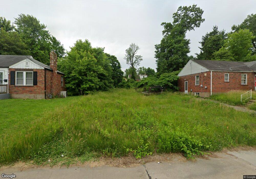
822 Walters Dr Saint Louis, MO 63135
Estimated Value: $18,000 - $128,000
--
Bed
1
Bath
--
Sq Ft
6,098
Sq Ft Lot
About This Home
This home is located at 822 Walters Dr, Saint Louis, MO 63135 and is currently estimated at $82,000. 822 Walters Dr is a home located in St. Louis County with nearby schools including Ferguson Middle School, Johnson Wabash Elementary School, and McCluer High School.
Ownership History
Date
Name
Owned For
Owner Type
Purchase Details
Closed on
Oct 8, 2024
Sold by
Collector Of Revenue
Bought by
City Of Ferguson
Current Estimated Value
Purchase Details
Closed on
Jan 2, 2014
Sold by
Secretary Of Housing & Urban Development
Bought by
Johnson Vernell
Purchase Details
Closed on
Jan 15, 2013
Sold by
Us Bank National Association
Bought by
Secretary Of Housing & Urban Development
Purchase Details
Closed on
Oct 12, 2012
Sold by
Leflore Phyllis D and Reyes Ramos Perez F
Bought by
Pulaski Service Corporation
Purchase Details
Closed on
Dec 2, 1998
Sold by
Etheridge Sandra I
Bought by
Reyes Ramos Perez F and Leflore Phyllis D
Home Financials for this Owner
Home Financials are based on the most recent Mortgage that was taken out on this home.
Original Mortgage
$40,848
Interest Rate
6.81%
Mortgage Type
FHA
Create a Home Valuation Report for This Property
The Home Valuation Report is an in-depth analysis detailing your home's value as well as a comparison with similar homes in the area
Home Values in the Area
Average Home Value in this Area
Purchase History
| Date | Buyer | Sale Price | Title Company |
|---|---|---|---|
| City Of Ferguson | -- | None Listed On Document | |
| Johnson Vernell | $600 | Continental Title Company | |
| Secretary Of Housing & Urban Development | -- | None Available | |
| Pulaski Service Corporation | $38,255 | None Available | |
| Reyes Ramos Perez F | $39,900 | -- |
Source: Public Records
Mortgage History
| Date | Status | Borrower | Loan Amount |
|---|---|---|---|
| Previous Owner | Reyes Ramos Perez F | $40,848 |
Source: Public Records
Tax History Compared to Growth
Tax History
| Year | Tax Paid | Tax Assessment Tax Assessment Total Assessment is a certain percentage of the fair market value that is determined by local assessors to be the total taxable value of land and additions on the property. | Land | Improvement |
|---|---|---|---|---|
| 2025 | $111 | $1,180 | $1,180 | -- |
| 2024 | $111 | $1,560 | $1,560 | -- |
| 2023 | $111 | $1,560 | $1,560 | $0 |
| 2022 | $96 | $1,180 | $1,180 | $0 |
| 2021 | $93 | $1,180 | $1,180 | $0 |
| 2020 | $105 | $1,200 | $1,200 | $0 |
| 2019 | $103 | $1,200 | $1,200 | $0 |
| 2018 | $119 | $1,240 | $1,240 | $0 |
| 2017 | $117 | $1,240 | $1,240 | $0 |
| 2016 | $155 | $1,620 | $1,620 | $0 |
| 2015 | $156 | $1,620 | $1,620 | $0 |
| 2014 | -- | $1,520 | $1,520 | $0 |
Source: Public Records
Map
Nearby Homes
- 806 Rolwes Ave
- 213 Henquin Dr
- 324 Newell Dr
- 218 N Marguerite Ave
- 116 Henquin Dr
- 117 Henquin Dr
- 138 N Marguerite Ave
- 6130 Wulff Dr
- 810 Airport Rd
- 53 N Dade Ave
- 415 Warford Ave
- 614 January Ave
- 8042 Patterson Dr
- 439 Warford Ave
- 8027 Aline Ave
- 6016 Shillington Dr
- 6005 Shillington Dr
- 28 N Harvey Ave
- 8219 Davenport Dr
- 222 Wooster Dr