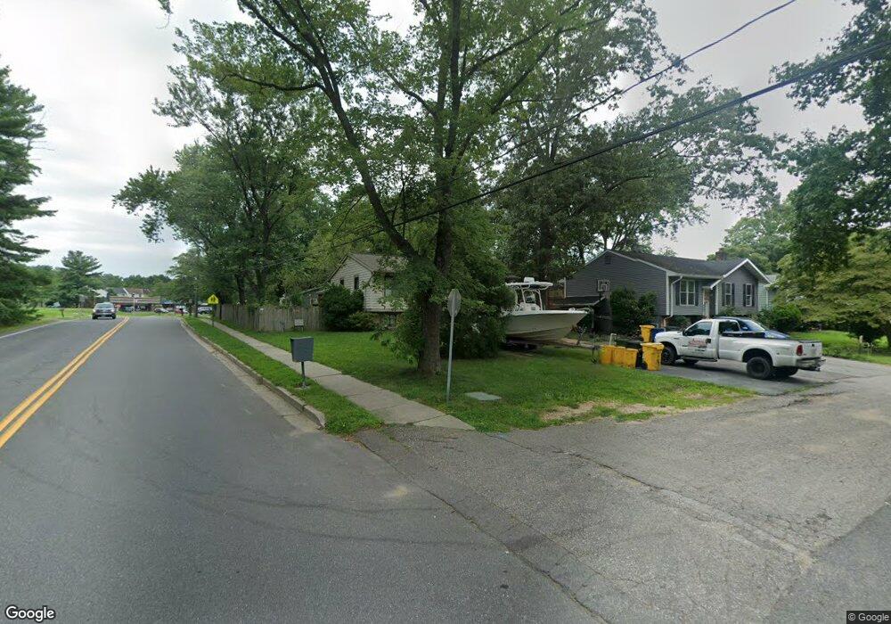
8231 Northport Rd Millersville, MD 21108
Estimated Value: $451,043 - $655,000
--
Bed
2
Baths
1,100
Sq Ft
$465/Sq Ft
Est. Value
About This Home
This home is located at 8231 Northport Rd, Millersville, MD 21108 and is currently estimated at $511,011, approximately $464 per square foot. 8231 Northport Rd is a home located in Anne Arundel County with nearby schools including Rippling Woods Elementary School, Old Mill Middle School North, and Old Mill High School.
Ownership History
Date
Name
Owned For
Owner Type
Purchase Details
Closed on
Dec 7, 2004
Sold by
Hines John E
Bought by
Barnes Johnny R and Barnes Michael H
Current Estimated Value
Purchase Details
Closed on
May 5, 1999
Sold by
Barker Barry T
Bought by
Hines John E
Create a Home Valuation Report for This Property
The Home Valuation Report is an in-depth analysis detailing your home's value as well as a comparison with similar homes in the area
Home Values in the Area
Average Home Value in this Area
Purchase History
| Date | Buyer | Sale Price | Title Company |
|---|---|---|---|
| Barnes Johnny R | $304,900 | -- | |
| Hines John E | $144,900 | -- |
Source: Public Records
Mortgage History
| Date | Status | Borrower | Loan Amount |
|---|---|---|---|
| Closed | Barnes Johnny R | -- |
Source: Public Records
Tax History Compared to Growth
Tax History
| Year | Tax Paid | Tax Assessment Tax Assessment Total Assessment is a certain percentage of the fair market value that is determined by local assessors to be the total taxable value of land and additions on the property. | Land | Improvement |
|---|---|---|---|---|
| 2025 | $4,433 | $377,033 | -- | -- |
| 2024 | $4,433 | $359,000 | $205,800 | $153,200 |
| 2023 | $4,304 | $350,767 | $0 | $0 |
| 2022 | $4,010 | $342,533 | $0 | $0 |
| 2021 | $7,847 | $334,300 | $180,800 | $153,500 |
| 2020 | $3,699 | $316,633 | $0 | $0 |
| 2019 | $3,517 | $298,967 | $0 | $0 |
| 2018 | $2,852 | $281,300 | $137,300 | $144,000 |
| 2017 | $3,208 | $277,233 | $0 | $0 |
| 2016 | -- | $273,167 | $0 | $0 |
| 2015 | -- | $269,100 | $0 | $0 |
| 2014 | -- | $267,233 | $0 | $0 |
Source: Public Records
Map
Nearby Homes
- 518 Kenora Dr
- 8218 Sherbrooke Ct
- 8224 Bernard Dr N
- 525 Old Mill Rd
- 529 Chalet Dr W
- 2664 Carver Rd
- 266 Nathan Way
- 258 Nathan Way
- 8251 Rupert Rd S
- 8253 Rupert Rd S
- 248 Michele Cir
- 565 Belmawr Place
- 429 Hardmoore Ct
- 8421 Norwood Dr
- 8333 Kippis Rd
- 8297 Kippis Rd
- 494 Kenilworth Ct
- 584 Brightview Dr
- 268 Glenda Ct
- 460 Marianna Dr
- 8229 Northport Rd
- 490 Old Mill Rd
- 8227 Northport Rd
- 495 Brampton Ct
- 8225 Northport Rd
- 492 Old Mill Rd
- 491 Old Mill Rd
- 496 Brampton Ct
- 483 Old Mill Rd
- 497 Brampton Ct
- 494 Old Mill Rd
- 8223 Northport Rd
- 485 Old Mill Rd
- 498 Brampton Ct
- 8221 Northport Rd
- 496 Old Mill Rd
- 499 Brampton Ct
- 8220 Northport Rd
- 8331 Williamstowne Dr
- 8333 Williamstowne Dr