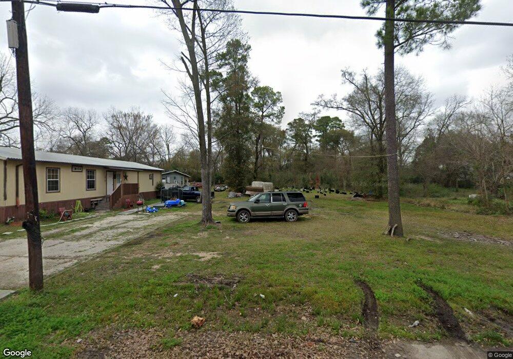
824 Davidson St Houston, TX 77091
Acres Homes NeighborhoodEstimated Value: $362,000 - $490,625
2
Beds
2
Baths
2,336
Sq Ft
$192/Sq Ft
Est. Value
About This Home
This home is located at 824 Davidson St, Houston, TX 77091 and is currently estimated at $448,906, approximately $192 per square foot. 824 Davidson St is a home with nearby schools including Highland Heights Elementary School, Williams Middle, and Booker T Washington Sr High.
Ownership History
Date
Name
Owned For
Owner Type
Purchase Details
Closed on
Jul 21, 2008
Sold by
Krystal One Acquisitions Llc
Bought by
Castillo Jaime L and Castillo Susana
Current Estimated Value
Purchase Details
Closed on
Dec 1, 2007
Sold by
Reece William Marion and Reece William M
Bought by
Krystal One Acquisitions Llc
Purchase Details
Closed on
May 15, 2007
Sold by
Edwards A G Hall
Bought by
Jackson Charles C S
Create a Home Valuation Report for This Property
The Home Valuation Report is an in-depth analysis detailing your home's value as well as a comparison with similar homes in the area
Home Values in the Area
Average Home Value in this Area
Purchase History
| Date | Buyer | Sale Price | Title Company |
|---|---|---|---|
| Castillo Jaime L | -- | None Available | |
| Krystal One Acquisitions Llc | -- | None Available | |
| Krystal One Acquisitions Llc | -- | None Available | |
| Jackson Charles C S | -- | None Available |
Source: Public Records
Tax History Compared to Growth
Tax History
| Year | Tax Paid | Tax Assessment Tax Assessment Total Assessment is a certain percentage of the fair market value that is determined by local assessors to be the total taxable value of land and additions on the property. | Land | Improvement |
|---|---|---|---|---|
| 2025 | $9,667 | $580,000 | $372,593 | $207,407 |
| 2024 | $9,667 | $462,000 | $285,390 | $176,610 |
| 2023 | $9,206 | $456,892 | $285,390 | $171,502 |
| 2022 | $9,662 | $438,795 | $253,680 | $185,115 |
| 2021 | $7,804 | $334,841 | $166,478 | $168,363 |
| 2020 | $6,742 | $278,432 | $126,840 | $151,592 |
| 2019 | $4,905 | $193,841 | $63,091 | $130,750 |
| 2018 | $4,204 | $166,147 | $63,091 | $103,056 |
| 2017 | $3,743 | $148,035 | $45,065 | $102,970 |
| 2016 | $3,743 | $148,035 | $45,065 | $102,970 |
| 2015 | $2,442 | $95,000 | $45,065 | $49,935 |
| 2014 | $2,442 | $95,000 | $45,065 | $49,935 |
Source: Public Records
Map
Nearby Homes
- 825 Paul Quinn St Unit F
- 825 Paul Quinn St Unit A
- 825 Paul Quinn St Unit C
- 825 Paul Quinn St Unit E
- 825 Paul Quinn St Unit B
- 787 Paul Quinn St
- 5427 Alba Rd
- 849 Mansfield St Unit B
- 849 Mansfield St Unit E
- 849 Mansfield St Unit D
- 849 Mansfield St Unit F
- 849 Mansfield St Unit A
- 772 Davidson St
- 853 Mansfield St Unit E
- 853 Mansfield St Unit D
- 853 Mansfield St Unit A
- 853 Mansfield St Unit B
- 853 Mansfield St Unit F
- 764 W Tidwell Rd
- 763 Paul Quinn St
- 828 Davidson St
- 832 Davidson St
- 821 Davidson St
- 819 Davidson St
- 838 Davidson St
- 842 Davidson St
- 837 Davidson St
- 823 Davidson St
- 5601 Beall St
- 815 Davidson St
- 817 Davidson St
- 5617 Beall St
- 867 Davidson St
- 5621 Beall St
- 5515 Beall St
- 5625 Beall St
- 5513 Beall St
- 5507 Beall St
- 5507 Beall St Unit C
- 5507 Beall St Unit A