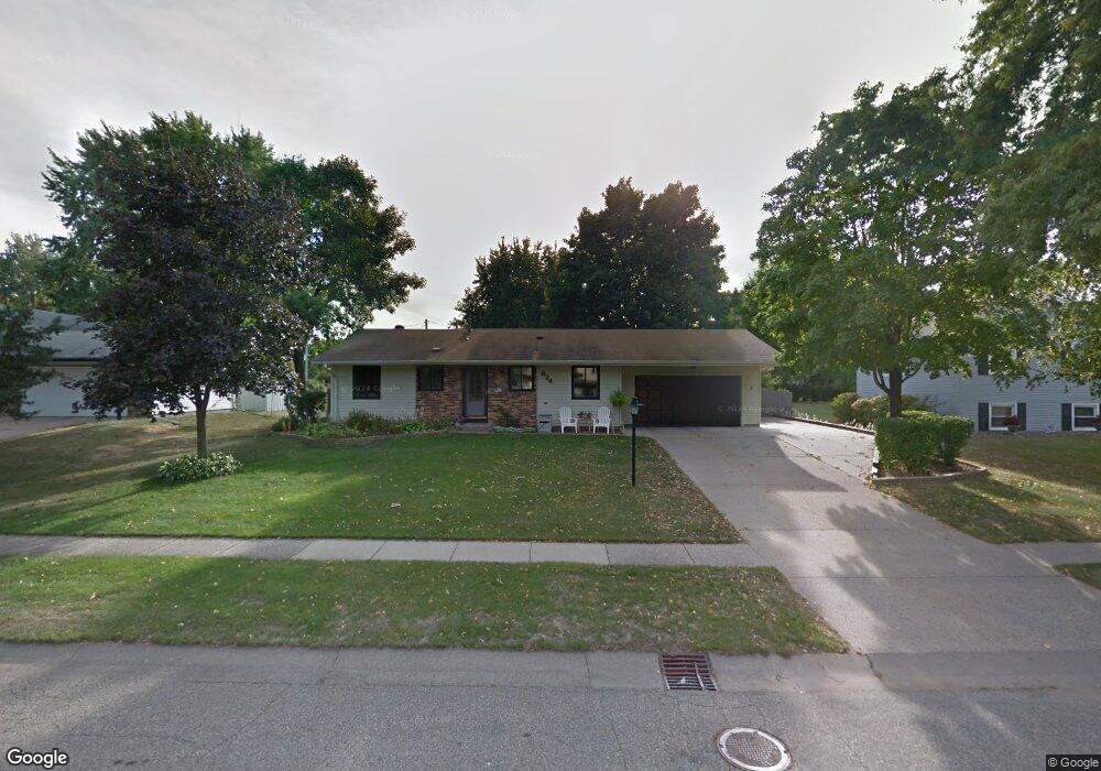
824 Mcintosh Dr Saint Paul, MN 55124
Old Town NeighborhoodEstimated Value: $347,000 - $381,000
3
Beds
2
Baths
988
Sq Ft
$367/Sq Ft
Est. Value
About This Home
This home is located at 824 Mcintosh Dr, Saint Paul, MN 55124 and is currently estimated at $362,416, approximately $366 per square foot. 824 Mcintosh Dr is a home located in Dakota County with nearby schools including Cedar Park Elementary STEM School, Valley Middle School, and Apple Valley Senior High School.
Ownership History
Date
Name
Owned For
Owner Type
Purchase Details
Closed on
Aug 31, 2018
Sold by
Tuberg Larry D and Tuberg Barbara J
Bought by
Licater Michael A and Licater Kathleen M
Current Estimated Value
Home Financials for this Owner
Home Financials are based on the most recent Mortgage that was taken out on this home.
Original Mortgage
$248,400
Interest Rate
4.6%
Mortgage Type
New Conventional
Create a Home Valuation Report for This Property
The Home Valuation Report is an in-depth analysis detailing your home's value as well as a comparison with similar homes in the area
Home Values in the Area
Average Home Value in this Area
Purchase History
| Date | Buyer | Sale Price | Title Company |
|---|---|---|---|
| Licater Michael A | $265,000 | Edina Realty Title Inc |
Source: Public Records
Mortgage History
| Date | Status | Borrower | Loan Amount |
|---|---|---|---|
| Previous Owner | Licater Michael A | $248,400 |
Source: Public Records
Tax History Compared to Growth
Tax History
| Year | Tax Paid | Tax Assessment Tax Assessment Total Assessment is a certain percentage of the fair market value that is determined by local assessors to be the total taxable value of land and additions on the property. | Land | Improvement |
|---|---|---|---|---|
| 2024 | $3,422 | $318,900 | $87,100 | $231,800 |
| 2023 | $3,422 | $309,000 | $87,300 | $221,700 |
| 2022 | $2,952 | $310,200 | $87,000 | $223,200 |
| 2021 | $2,832 | $263,900 | $75,700 | $188,200 |
| 2020 | $2,860 | $249,000 | $72,100 | $176,900 |
| 2019 | $2,476 | $244,400 | $68,600 | $175,800 |
| 2018 | $2,439 | $224,100 | $65,400 | $158,700 |
| 2017 | $2,381 | $212,500 | $62,200 | $150,300 |
| 2016 | $2,347 | $198,700 | $59,300 | $139,400 |
| 2015 | $2,238 | $174,547 | $52,193 | $122,354 |
| 2014 | -- | $167,462 | $49,935 | $117,527 |
| 2013 | -- | $153,074 | $45,414 | $107,660 |
Source: Public Records
Map
Nearby Homes
- 841 Cortland Dr
- 834 Fireside Dr
- 889 Whitney Dr
- 921 Cortland Dr S
- 15722 Griffon Ct
- 7765 157th St W
- 7616 157th St W Unit D
- 892 Redwell Ln
- 7600 157th St W Unit 105
- 14786 Hallmark Dr
- 8090 159th St W
- 14825 Haven Dr
- 15887 Griffon Path
- 15503 Gateway Path Unit 128
- 15511 Gateway Path Unit 132
- 15979 Harwell Ave
- 16096 Harmony Path
- 15813 Garden View Dr
- 15567 Garnet Way Unit 63
- 15554 Garnet Way Unit 5
- 828 Mcintosh Dr
- 832 Mcintosh Dr
- 816 Mcintosh Dr
- 829 Mcintosh Dr
- 833 Mcintosh Dr
- 825 Oriole Dr
- 819 Mcintosh Dr
- 836 Mcintosh Dr
- 829 Oriole Dr
- 835 Regent Dr
- 833 Oriole Dr
- 837 Mcintosh Dr
- 830 Regent Dr
- 815 Mcintosh Dr
- 840 Mcintosh Dr
- 837 Oriole Dr
- 840 Whitney Dr
- 831 Regent Dr
- 844 Whitney Dr
- 841 Mcintosh Dr