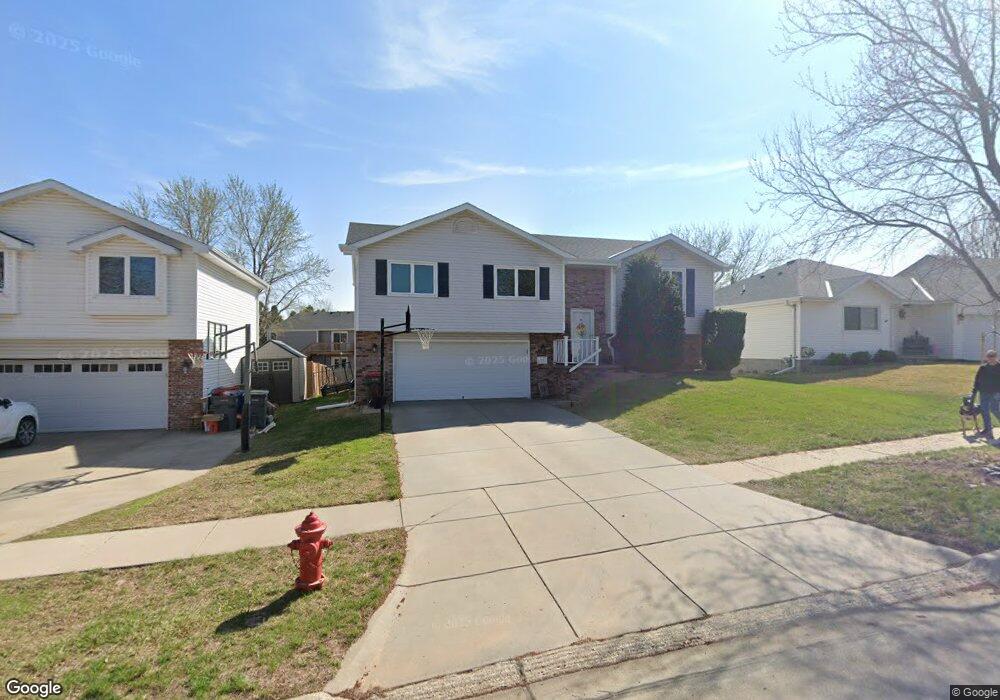
827 Karen Dr Lincoln, NE 68522
West A NeighborhoodEstimated Value: $278,000 - $314,000
3
Beds
4
Baths
1,203
Sq Ft
$243/Sq Ft
Est. Value
About This Home
This home is located at 827 Karen Dr, Lincoln, NE 68522 and is currently estimated at $291,883, approximately $242 per square foot. 827 Karen Dr is a home located in Lancaster County with nearby schools including Lakeview Elementary School, Park Middle School, and Lincoln High School.
Ownership History
Date
Name
Owned For
Owner Type
Purchase Details
Closed on
Sep 22, 2000
Sold by
Starman Francis L
Bought by
Dean Kerry and Dean Chris
Current Estimated Value
Home Financials for this Owner
Home Financials are based on the most recent Mortgage that was taken out on this home.
Original Mortgage
$99,450
Outstanding Balance
$36,015
Interest Rate
8.01%
Estimated Equity
$255,868
Create a Home Valuation Report for This Property
The Home Valuation Report is an in-depth analysis detailing your home's value as well as a comparison with similar homes in the area
Home Values in the Area
Average Home Value in this Area
Purchase History
| Date | Buyer | Sale Price | Title Company |
|---|---|---|---|
| Dean Kerry | $117,000 | -- |
Source: Public Records
Mortgage History
| Date | Status | Borrower | Loan Amount |
|---|---|---|---|
| Open | Dean Kerry | $99,450 |
Source: Public Records
Tax History Compared to Growth
Tax History
| Year | Tax Paid | Tax Assessment Tax Assessment Total Assessment is a certain percentage of the fair market value that is determined by local assessors to be the total taxable value of land and additions on the property. | Land | Improvement |
|---|---|---|---|---|
| 2025 | $3,188 | $253,000 | $54,000 | $199,000 |
| 2024 | $3,188 | $230,700 | $45,000 | $185,700 |
| 2023 | $3,867 | $230,700 | $45,000 | $185,700 |
| 2022 | $3,570 | $179,100 | $40,000 | $139,100 |
| 2021 | $3,377 | $179,100 | $40,000 | $139,100 |
| 2020 | $3,187 | $166,800 | $40,000 | $126,800 |
| 2019 | $3,188 | $166,800 | $40,000 | $126,800 |
| 2018 | $2,714 | $141,400 | $40,000 | $101,400 |
| 2017 | $2,739 | $141,400 | $40,000 | $101,400 |
| 2016 | $2,592 | $133,100 | $40,000 | $93,100 |
| 2015 | $2,574 | $133,100 | $40,000 | $93,100 |
| 2014 | $2,421 | $124,500 | $40,000 | $84,500 |
| 2013 | -- | $124,500 | $40,000 | $84,500 |
Source: Public Records
Map
Nearby Homes
- 741 Folsom Ln
- 1801 S Folsom St
- 812 W Sumner St
- 1952 SW 12th St
- 1630 SW 14th St
- 1239 W Jean Ave
- 1507 SW 13th St
- 2230 SW 14th St
- 1905 SW 15th St Unit 5
- 1300 Patterson Dr
- 2141 SW 16th St
- 1700 W Plum St
- 1660 W Mulberry St
- 2628 SW 15th St
- 2309 SW 18th St
- 1641 W B St
- 2213 SW 19th St
- 136 B St
- 2141 W Plum St
- 2035 W Cove Ct