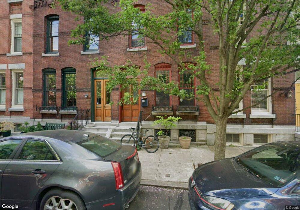
827 N Woodstock St Philadelphia, PA 19130
Fairmount NeighborhoodEstimated Value: $728,610 - $939,000
--
Bed
--
Bath
2,136
Sq Ft
$380/Sq Ft
Est. Value
About This Home
This home is located at 827 N Woodstock St, Philadelphia, PA 19130 and is currently estimated at $810,903, approximately $379 per square foot. 827 N Woodstock St is a home located in Philadelphia County with nearby schools including Bache-Martin School, Benjamin Franklin High School, and The City School-Fairmount Campus.
Ownership History
Date
Name
Owned For
Owner Type
Purchase Details
Closed on
Apr 20, 2007
Sold by
Greenberg Alan and Adels Peter
Bought by
Marrone Matthew S and Marrone Licia M Ano
Current Estimated Value
Home Financials for this Owner
Home Financials are based on the most recent Mortgage that was taken out on this home.
Original Mortgage
$415,000
Outstanding Balance
$251,334
Interest Rate
6.18%
Mortgage Type
Purchase Money Mortgage
Estimated Equity
$559,569
Purchase Details
Closed on
Jan 26, 2006
Sold by
Estate Of Joseph Frank
Bought by
Greenberg Alan and Adels Peter
Home Financials for this Owner
Home Financials are based on the most recent Mortgage that was taken out on this home.
Original Mortgage
$425,000
Interest Rate
6.31%
Mortgage Type
Purchase Money Mortgage
Create a Home Valuation Report for This Property
The Home Valuation Report is an in-depth analysis detailing your home's value as well as a comparison with similar homes in the area
Home Values in the Area
Average Home Value in this Area
Purchase History
| Date | Buyer | Sale Price | Title Company |
|---|---|---|---|
| Marrone Matthew S | $625,000 | None Available | |
| Greenberg Alan | $310,000 | None Available |
Source: Public Records
Mortgage History
| Date | Status | Borrower | Loan Amount |
|---|---|---|---|
| Open | Marrone Matthew S | $415,000 | |
| Previous Owner | Greenberg Alan | $425,000 |
Source: Public Records
Tax History Compared to Growth
Tax History
| Year | Tax Paid | Tax Assessment Tax Assessment Total Assessment is a certain percentage of the fair market value that is determined by local assessors to be the total taxable value of land and additions on the property. | Land | Improvement |
|---|---|---|---|---|
| 2025 | $7,898 | $649,300 | $129,860 | $519,440 |
| 2024 | $7,898 | $649,300 | $129,860 | $519,440 |
| 2023 | $7,898 | $564,200 | $112,840 | $451,360 |
| 2022 | $8,019 | $519,200 | $112,840 | $406,360 |
| 2021 | $8,649 | $0 | $0 | $0 |
| 2020 | $8,649 | $0 | $0 | $0 |
| 2019 | $8,371 | $0 | $0 | $0 |
| 2018 | $0 | $0 | $0 | $0 |
| 2017 | $3,021 | $0 | $0 | $0 |
| 2016 | $2,064 | $0 | $0 | $0 |
| 2015 | $1,976 | $0 | $0 | $0 |
| 2014 | -- | $509,600 | $60,364 | $449,236 |
| 2012 | -- | $106,208 | $8,207 | $98,001 |
Source: Public Records
Map
Nearby Homes
- 827 Corinthian Ave
- 882 N Woodstock St
- 2022 Ogden St
- 2010 Ogden St
- 881 N Beechwood St
- 755 N Capitol St
- 747 N Capitol St
- 739 N Capitol St
- 871 N 20th St Unit 1
- 1919 Brown St Unit 2
- 753 55 N 20th St Unit 1
- 1926 Poplar St Unit 1
- 1929 W George St
- 741 N 20th St Unit 6
- 769 N Uber St Unit 1
- 746 N Uber St
- 2007 Cambridge St
- 864 N 19th St
- 1910 Brown St
- 1932 Cambridge St Unit A
- 829 N Woodstock St
- 825 N Woodstock St
- 823 N Woodstock St
- 831 N Woodstock St
- 821 N Woodstock St
- 833 N Woodstock St
- 819 N Woodstock St
- 835 N Woodstock St
- 817 N Woodstock St
- 837 N Woodstock St
- 826 Corinthian Ave
- 824 Corinthian Ave
- 830 Corinthian Ave
- 822 Corinthian Ave
- 828 Corinthian Ave
- 828 Corinthian Ave Unit 2
- 815 N Woodstock St
- 839 N Woodstock St
- 832 Corinthian Ave
- 820 Corinthian Ave