8297 Route 536 Punxsutawney, PA 15767
Estimated Value: $203,000 - $306,000
--
Bed
--
Bath
1,200
Sq Ft
$208/Sq Ft
Est. Value
About This Home
This home is located at 8297 Route 536, Punxsutawney, PA 15767 and is currently estimated at $249,457, approximately $207 per square foot. 8297 Route 536 is a home located in Jefferson County with nearby schools including Punxsutawney Area High School, Countryside Christian Academy, and Windy Hollow Amish School.
Ownership History
Date
Name
Owned For
Owner Type
Purchase Details
Closed on
Aug 21, 2024
Sold by
Smith Tony James and Smith Lisa
Bought by
Smith Tony James and Smith Lisa
Current Estimated Value
Purchase Details
Closed on
Aug 2, 2017
Sold by
Reynolds Sherry M
Bought by
K & L Gas & Oil Inc
Purchase Details
Closed on
Jul 26, 2017
Sold by
Pyne Alice M
Bought by
K & L Gas & Oil Inc
Purchase Details
Closed on
Sep 7, 2016
Sold by
Smith Tony James and Smith Tina K
Bought by
Smith Tony James
Create a Home Valuation Report for This Property
The Home Valuation Report is an in-depth analysis detailing your home's value as well as a comparison with similar homes in the area
Home Values in the Area
Average Home Value in this Area
Purchase History
| Date | Buyer | Sale Price | Title Company |
|---|---|---|---|
| Smith Tony James | -- | None Listed On Document | |
| K & L Gas & Oil Inc | -- | None Available | |
| K & L Gas & Oil Inc | -- | None Available | |
| Smith Tony James | -- | None Available |
Source: Public Records
Tax History Compared to Growth
Tax History
| Year | Tax Paid | Tax Assessment Tax Assessment Total Assessment is a certain percentage of the fair market value that is determined by local assessors to be the total taxable value of land and additions on the property. | Land | Improvement |
|---|---|---|---|---|
| 2025 | $2,902 | $70,210 | $4,400 | $65,810 |
| 2024 | $2,983 | $70,210 | $4,400 | $65,810 |
| 2023 | $2,838 | $70,210 | $4,400 | $65,810 |
| 2022 | $2,849 | $70,210 | $4,400 | $65,810 |
| 2021 | $2,847 | $70,210 | $4,400 | $65,810 |
| 2020 | $2,855 | $70,210 | $4,400 | $65,810 |
| 2019 | $2,846 | $70,210 | $4,400 | $65,810 |
| 2018 | $2,792 | $70,210 | $4,400 | $65,810 |
| 2017 | $2,780 | $70,210 | $4,400 | $65,810 |
| 2016 | $2,756 | $70,210 | $4,400 | $65,810 |
| 2015 | -- | $70,210 | $4,400 | $65,810 |
| 2012 | -- | $67,190 | $4,400 | $62,790 |
Source: Public Records
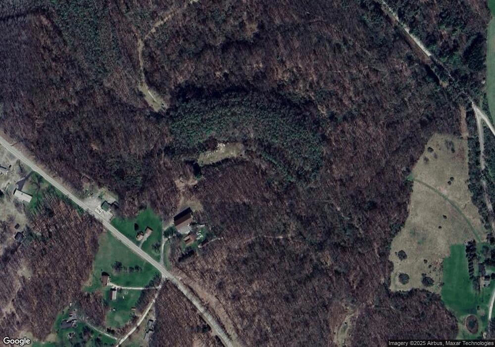
Map
Nearby Homes
- 00 Barton Chapel Rd
- 1056 Dora Rd
- 5025 Pennsylvania 36
- 12607 Pennsylvania 536
- 595 Wachob Dr
- 2754 River Rd
- 90 Perry Way
- 95 Byler Rd
- 2148 Pennsylvania 536
- 2136 Porter Rd
- 406 Pennsylvania Ave
- 109 Hillcrest Dr
- 110 Hillcrest Dr
- 467 Guzzo Rd
- 1716 Walston Rd
- 205 Perry St
- 2685 Walston Rd
- 00 Walston Rd
- 204 N Main St
- 466 Tony Hill Rd